Mountain range, region / State
Jizera Mountains / Czech Republic
Season
Fall
04. 11. 2021
Difficulty
1 / 5
Elevation
↑ 589 m
↓ 589 m
Length
9.0 km
4 hours
Altitude
max. 839 m n.m.
min. 364 m n.m.
Tips for hikes in the country Czech Republic

A short hike with children to the Žižkov Memorial at Trocnov

Two-day crossing of a part of the Javorníky Mountains with children

A trip to Psana Rock and the Slapy reservoir viewpoint
Trip to the waterfall Velký Štolpich via Ořešník
Starting point
Large parking lot in the village of Hejnice near the Franciscan monastery. Parking is free of charge.
Description of the hike
Although the weather forecast promised a nice sunny day, the Jizera Mountains decided otherwise. The clouds settled on the ridge and so instead of the originally planned climb to Smrk I went to Ořešník.
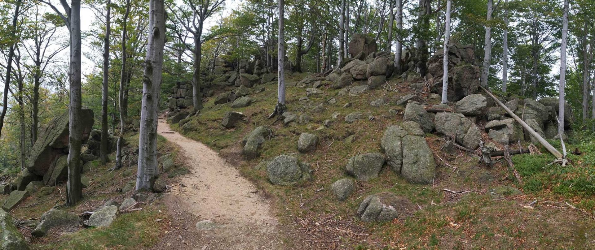
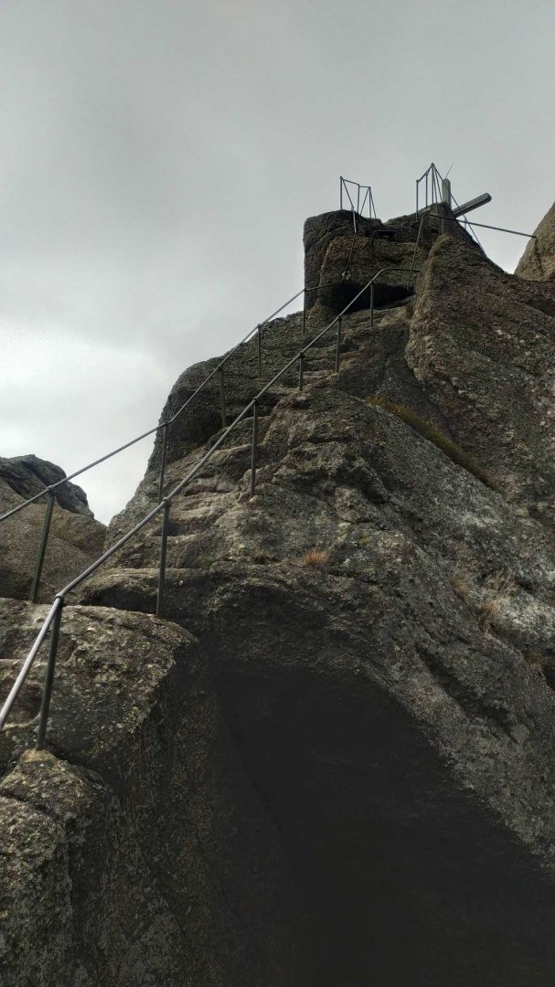
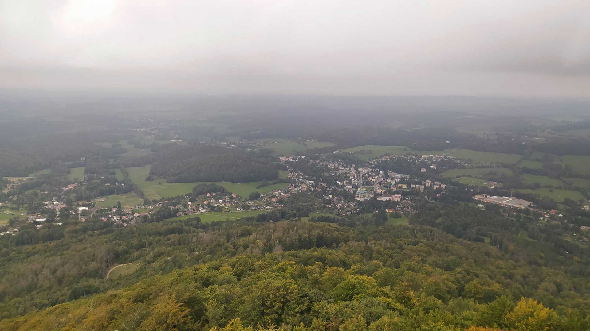
I left the car in the parking lot of the monastery in the village of Hejnice. I followed the red sign out of the town and continued along the meadows. However, the road soon entered the forest and the climb began. It is quite steep in places and it doesn't let up. About 2 kilometres later I came to the turn-off for Ořešník. This is already the landscape around the numerous rock formations. A narrow trail leads to the top first. However, the end is in the rock and there are carved steps to the very top. Fortunately, there is a railing, which is also around the summit cross. The view was unfortunately limited as the cloud was very low.
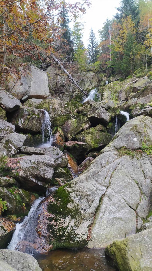
From the top I went back to the fork and continued along the red marker. This part of the trail is basically straight ahead. After a while I started to descend and by then I could hear the sound of water. Soon I came to the waterfall Velký Štolpich. I ran past it on the trail and crossed the creek on a footbridge. Here I joined the yellow trail. After that I started my descent back. The path is wide and comfortable all the time. I joined the green trail and followed it all the way to Ferdinandov. I then walked back to the parking lot of the monastery.
Difficulty
Due to the elevation of more than 500 metres, the route is slightly demanding by Czech standards. The ascent to Ořešník is basically still uphill, so you will sweat a lot. The next part of the route is physically without problems. Around the waterfall the trail is more rocky, which can cause problems for inexperienced hikers. The climb up to Ořešník is basically on a rock, secured at the end by railings and steps. The ascent is surprisingly quite airy, as the rock is narrow. The route is manageable for trained children. It is easy for dogs.
Water availability
There are quite a few streams on the route, but I preferred not to test the water quality. 1.5 litres of my own supplies were enough.
Mountain peaks
The views from the top of Ořešník 800 m above sea level are mainly towards the northwest.
Danger
The most dangerous place on the route is the ascent to the top of Ořešník. It is led in the rock. It is quite narrow and the ascent is so airy. However, there is a railing at the highest part, as well as on the whole top of the rock. The rest of the route is on wide forest roads or trails and is uneventful.
Food
There is no lodge or pub on the route. Everything is in the village of Hejnice. It is definitely good to have some snacks of your own.
Attractions
The waterfall Velký Štolpich is created by the Černý Štolpich stream when crossing a rock wall about 30 metres high. It is not a single waterfall, but a cascade of several waterfalls. The highest of these waterfalls is about 4.5 metres high. Thanks to the hiking trail, it is easily accessible to visitors of the Jizera Mountains.
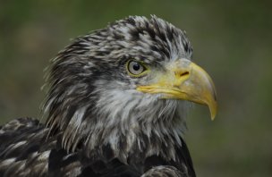
Photos