Mountain range, region / State
/ Bolivia
Season
Summer
18. 09. 2012
Difficulty
2 / 5
Elevation
↑ 418 m
↓ 416 m
Length
4.9 km
2 hours
Altitude
max. 1955 m n.m.
min. 1785 m n.m.
Tips for hikes in the mountain range
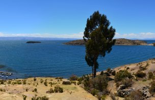
Crossing Isla del Sol on Lake Titicaca
A simple Ecohike to a waterfall hidden in a cave
Starting point
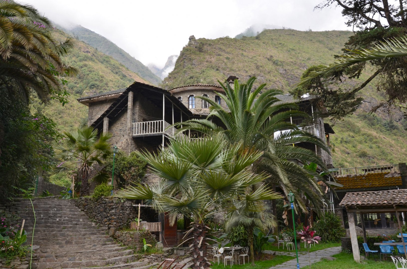
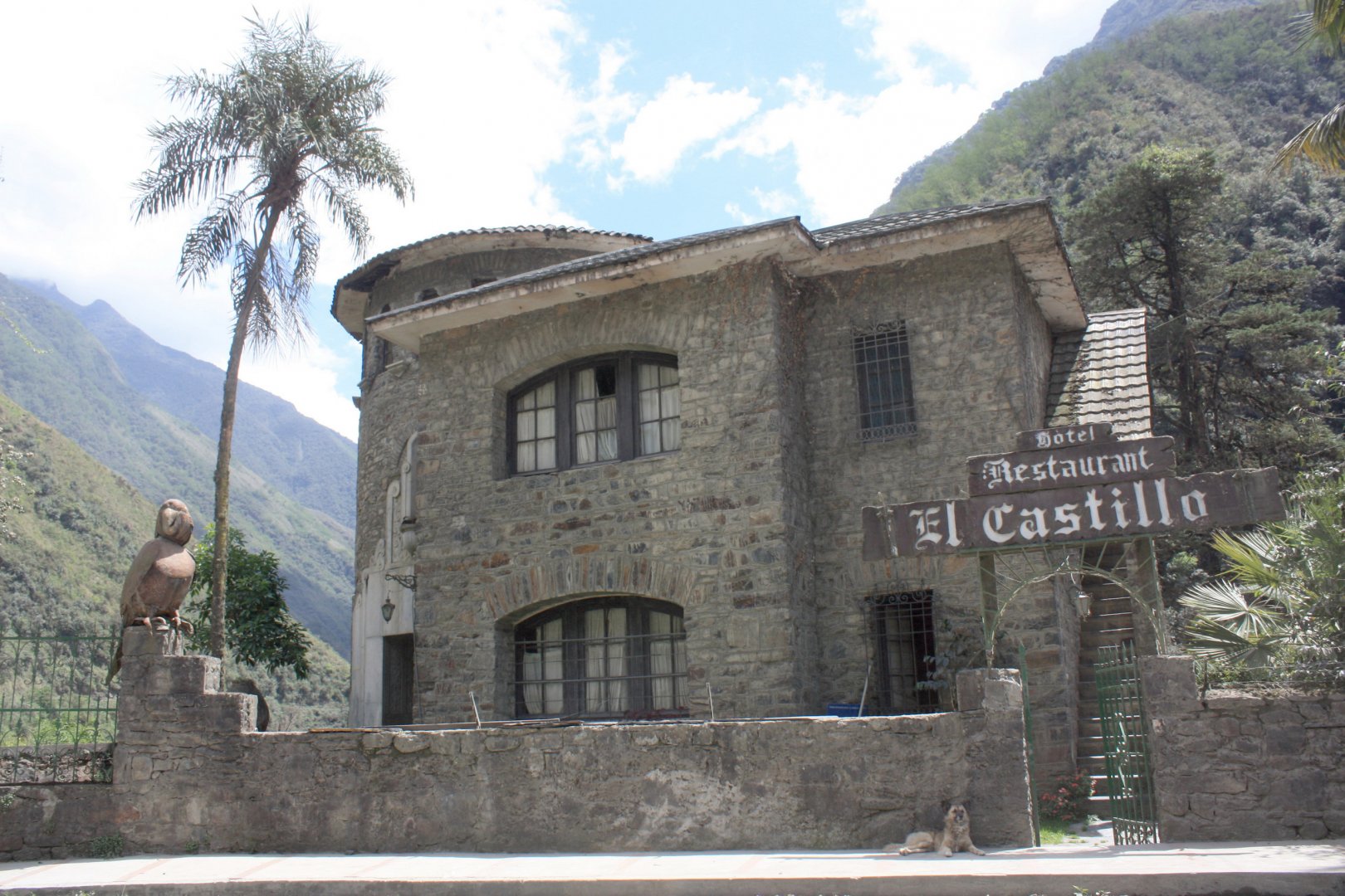
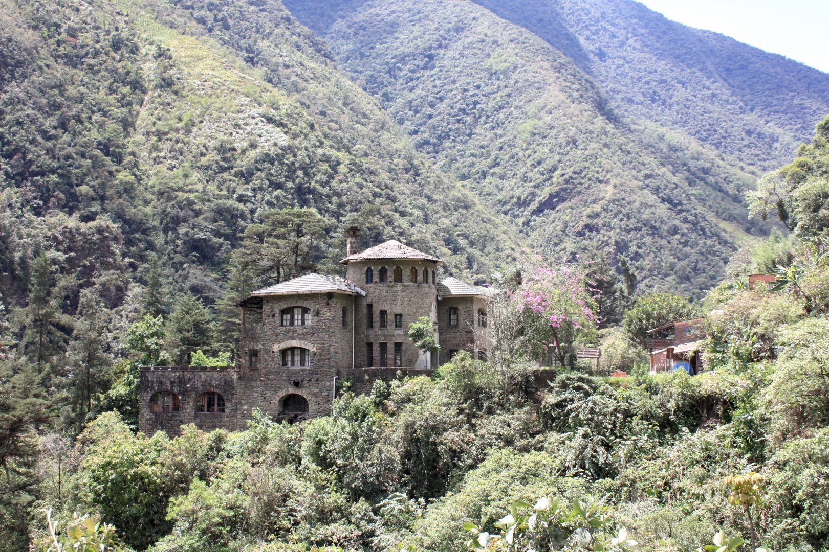
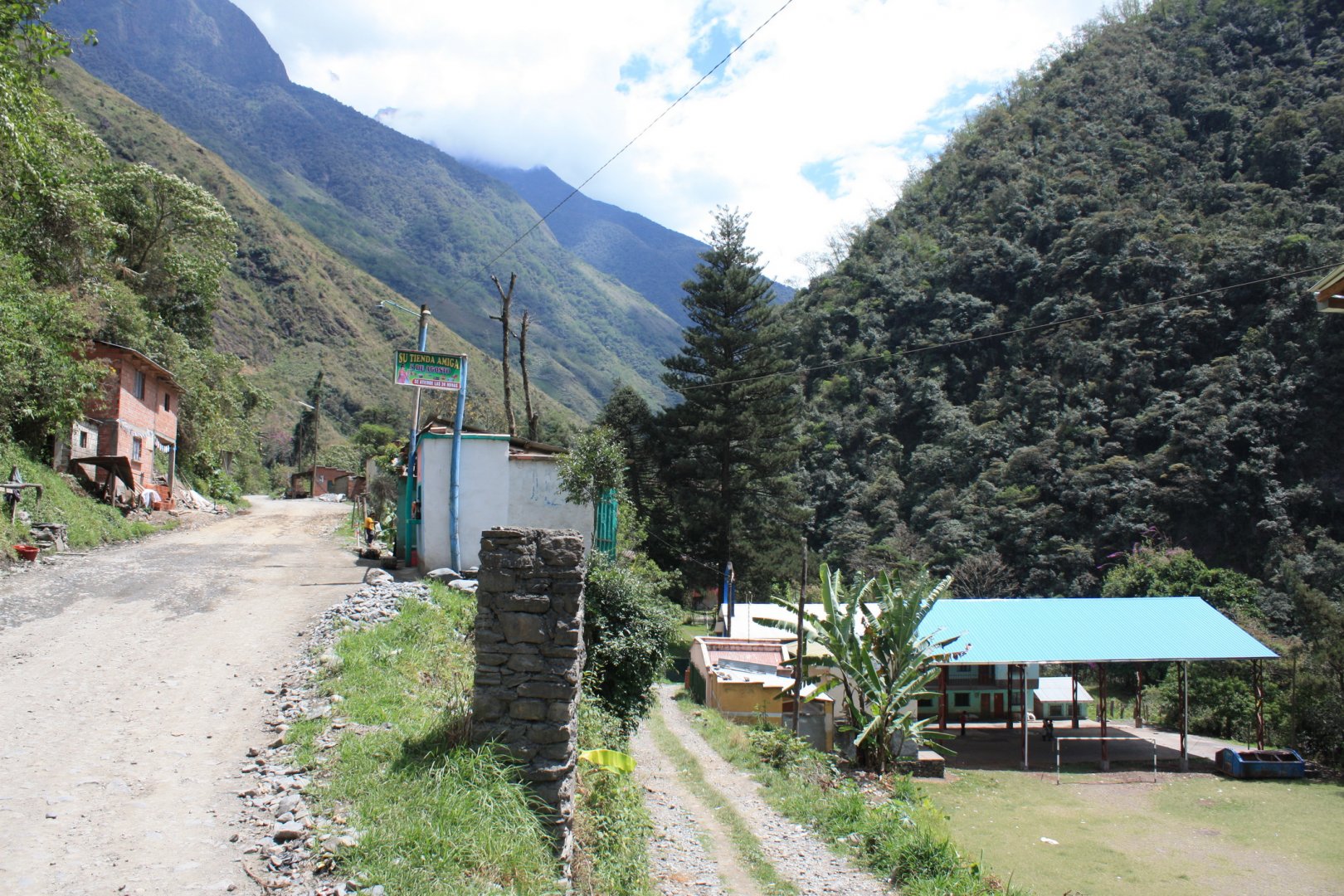
The trip starts in the village of Chaco in the courtyard of the restaurant and hotel El Castillo del Loro.
Description of the hike
We discovered the village of Parque Ecologico by chance during our trip. At night we stop at a strange building (we can't really see where we are) with a hotel sign (photo) and ask if we can spend the night. We are the only guests and the staff likes our slivovitz, we toast to Pachamama and learn their something as a cheers (!Arriba, abajo, al centro, pa' dentro!).
When asked what the 4 lone gringos are doing so far away, we reply that we are driving from Santiago de Chille through their beautiful country to Argentina and for another shot of slivovitz, they draw us a map to a nice, secret waterfall, you can go there directly from the hotel courtyard. In the morning after breakfast we set off along the unmarked but only route.
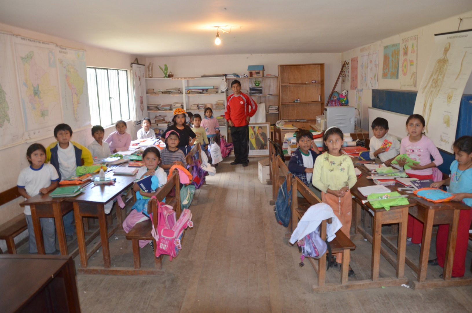
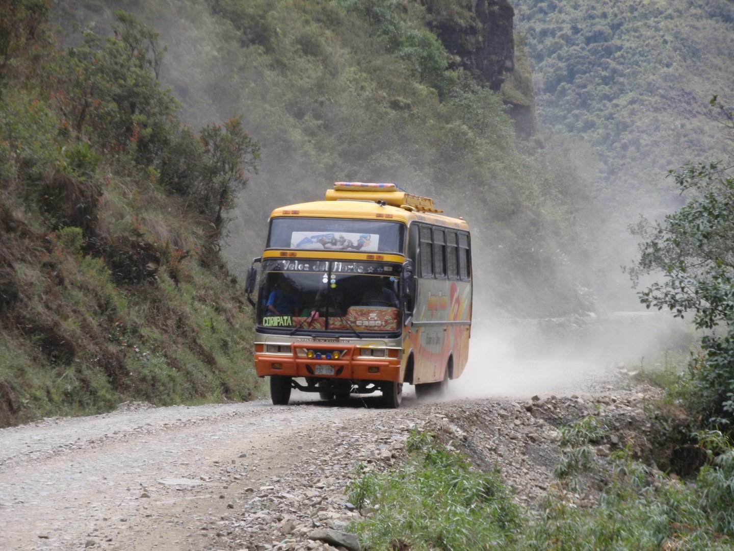
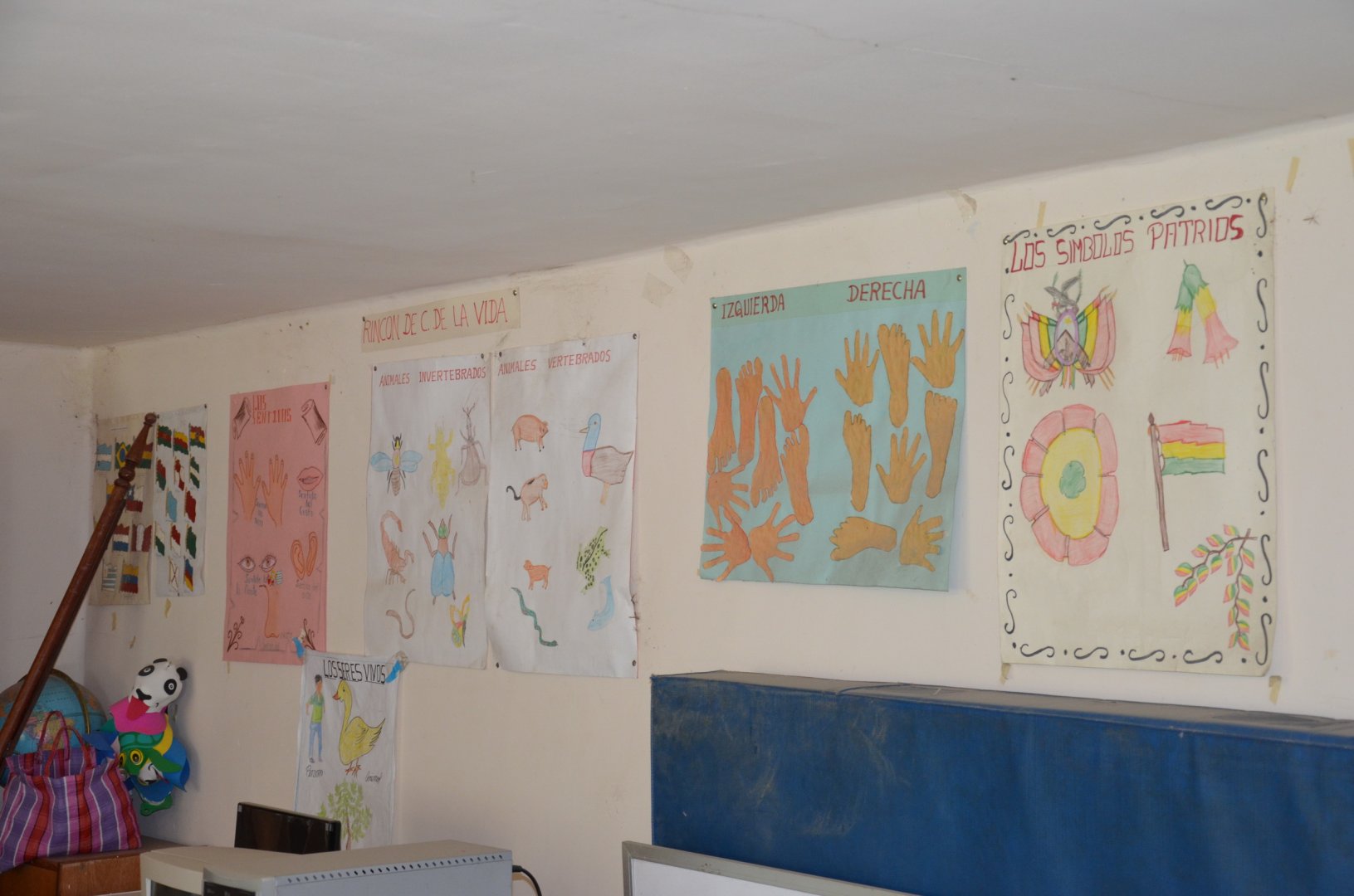
We pass through a village where there is also a small school (photo), where we later bring the kids t-shirts, drawing supplies, notebooks, balloons and lots of candy - things we bring from La Pas and hand out randomly along the way. In the village we meet a bus, the term "shirón" takes on a completely different, previously unrecognized dimension. In short - watch out for the bus driver more than you do for nature, rebellious miners throwing rocks at everything that goes past their roadblock, and Bolivian army patrols randomly stopping cars for drug checks.
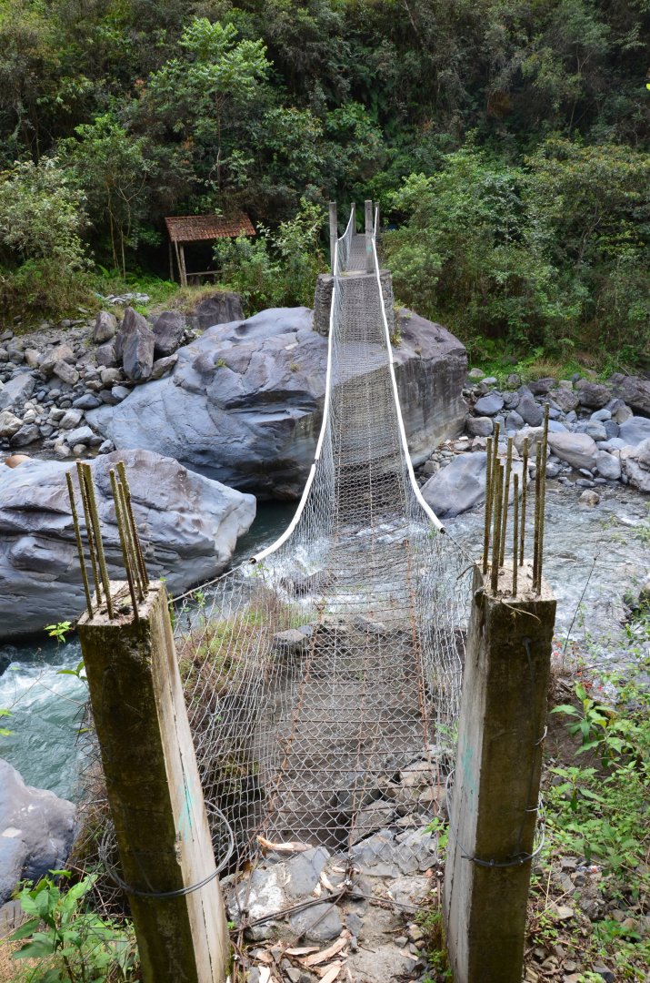
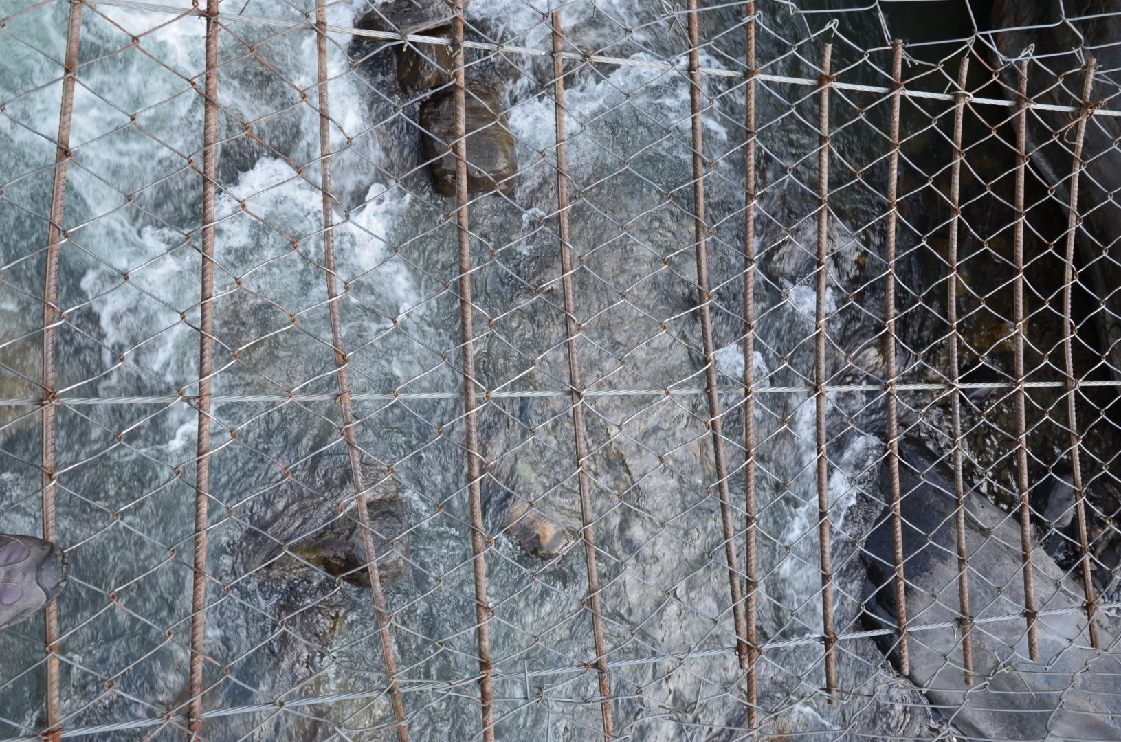
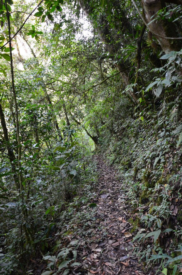
After the village, we turn down to the river exactly according to the cartoon map and after a while of walking through the overgrown jungle, the river appears and we continue around it to the suspension bridge (photo). Along the way we meet various other strange unfinished footbridges and warning signs with info pictures of what not to do here.
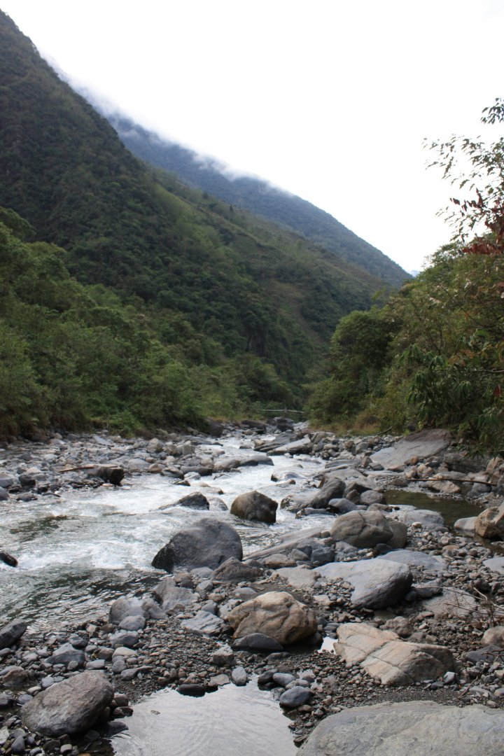
We cross the Rio Unduavi on a bridge and continue along a forest path to a clearing where there is a waterfall hidden in a cave (photo). To get to it you have to cross rocks and water - nothing dramatic. After a short rest we head back to the village on the other side of the river, wading the river in the narrowest possible place and even so the current took away one of our friends and his camera - all was happy. After successfully crossing the river we join the same path and return to the base.
Difficulty
The path leads along an unmarked, unpaved road over a suspension bridge. The waterfall is in a "cave" where one has to get slightly wet while crossing the rocks.
Water availability
Much of the road goes around the river, the water looked clear but I didn't try it, so I recommend filtration. The only bottled water option was at El Castillo del Loro.
Sleeping options
We have tried Parque Ecologico Hotel El Castillo del Loro in Chaco. The price was about 200 kc per person per night + 0,5 l of plumb brandy (our Slivovitz) for the staff with a delicious breakfast and a hand drawn map of the way to the secret waterfall on the receipt.
Mountain peaks
There are no peaks along the way, just the valley of the Rio Unduavi.
Danger
It is a good idea to be aware of the unpaved road surface on this road and to take extra care on the unmaintained suspension bridge. Other unfinished footbridges over the Rio Undunavi River only at your own risk with a high risk of falling into the water. As I mentioned in the route description, it's a good idea to watch out for bus drivers. They drive really dangerously, rarely brake and from the point of view of a decent European could not pass driving school.
The whole thing is made all the more interesting by the fact that the roads outside civilisation are often dirt without shoulders or stiles with steep drop-offs. On these winding roads one is supposed to honk at every turn to let oncoming traffic know that someone is on the other side of the bend. Often avoiding in these situations is about stronger nerves or a bigger car (buses and trucks always have the right of way :), you can't push them over).
Food
The hike is not time-consuming, so there is no need to take food with you, in any case everything you need is at the hotel El Castillo del Loro - the starting point of this trek.
Attractions
Our trek follows the valley of the Rio Unduavi below the nearby Eco via route, which connects the legendary Camino Nord Youngas (Death Road) with Cermen Pama. The Camino Nord Youngas, the Death Road or also the Road of Destiny, is a 56 km long road leading from La Paz to Coroico. In 1995, the Inter-American Development Bank called it "the most dangerous road in the world". In 2006, one estimate stated that 200 to 300 travellers died on the road each year. The road is lined with crosses and markers in many places where vehicles have fallen off (the winding, narrow road starts at about 3,000 m and ends at 1,500 m).
For us, it was quite easy to drive down as it is no longer a main thoroughfare and you don't have to dodge buses and trucks on the 2m wide road. You just have to be very careful at the side of the road, there is no guardrail and the road is clay, soaked from the water flowing down into the valley, so there are landslides in some places. To better understand, imagine you are driving/riding on the edge of the Macocha (give that depth x 22) with no guardrail on a crumbled road.
For adrenaline lovers it's worth it and I can highly recommend it both by car and bike :). You can definitely give the river valley route another go, the area is called Parque Ecologico, there are lots of unfinished attractions. El Castillo was a country estate before nationalisation, one of Bolivia's long line of El Presidios.
Photos