Mountain range, region / State
/ Bolivia
Season
Fall
08. 10. 2012
Difficulty
2 / 5
Elevation
↑ 596 m
↓ 582 m
Length
14.7 km
4 hours
Altitude
max. 4075 m n.m.
min. 3827 m n.m.
Tourist map of Isla del Sol on Lake Titicaca
Tips for hikes in the mountain range
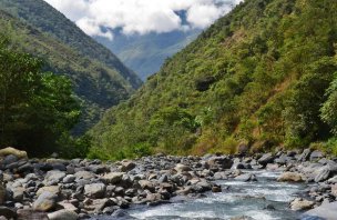
A hike in the Rio Unduavi valley near the village of Chaco
Isla del Sol - the place where the sun was born
Starting point
The town of Copacabana on the shore of Lake Titicaca, here we arrange a small boat, like a local taxi. It will take us to the more northern port (the town of Challapampa), one of two on the island. The second one (in the south, then we will leave the island). The trip cost a few hundred crowns for three backpackers. There is a cheaper option, where you can use something like water public transport.
Description of the hike
The trip starts in the morning at the port of Copacabana, from where we sail by boat to the port of Challapampa on Isla del Sol (there are only two ports on the island). The marked hiking trek follows a single path through all the monuments and peaks, so there is nowhere to get lost.
From the port of Challapampa we head northwards to the first mountain of the island - Cerro Tikani 3 936 m above sea level. From the port we have to overcome an elevation gain of about 200 meters, but it is a very gradual elevation gain, no steep slopes. From the top we backtracked a bit and continued along the main ridge of the island to the south. Once you get to the ridge of the island, you are walking almost flat with minimal elevation gain.
The dirt road along the ridge of the island is wide and clearly marked. About halfway up the island, take a short detour and climb another mountain, Cerro Palla Khasa 4,065 m above sea level. Then we continue along the trail. Before the village of Yumani we climb the last mountain Cerro Chequesani 4 075 m above sea level. From the top we descend directly to the village of Yumani. The descent to the port is the only steeper slope on the island, but nothing dramatic.
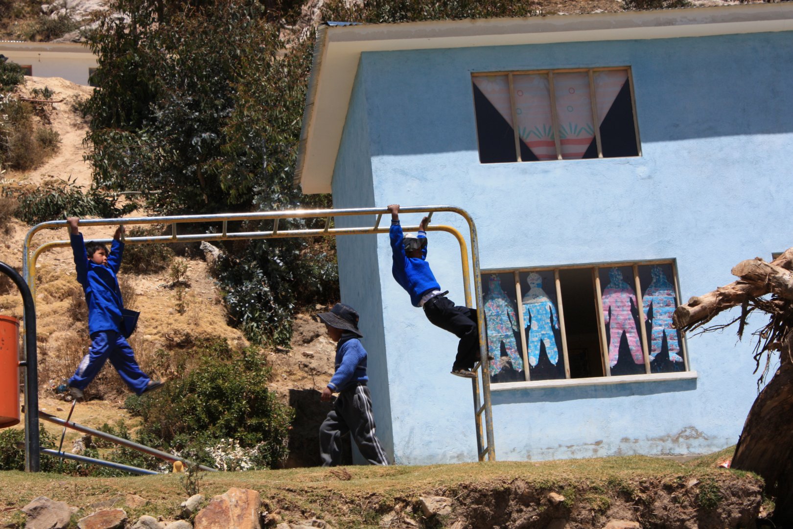
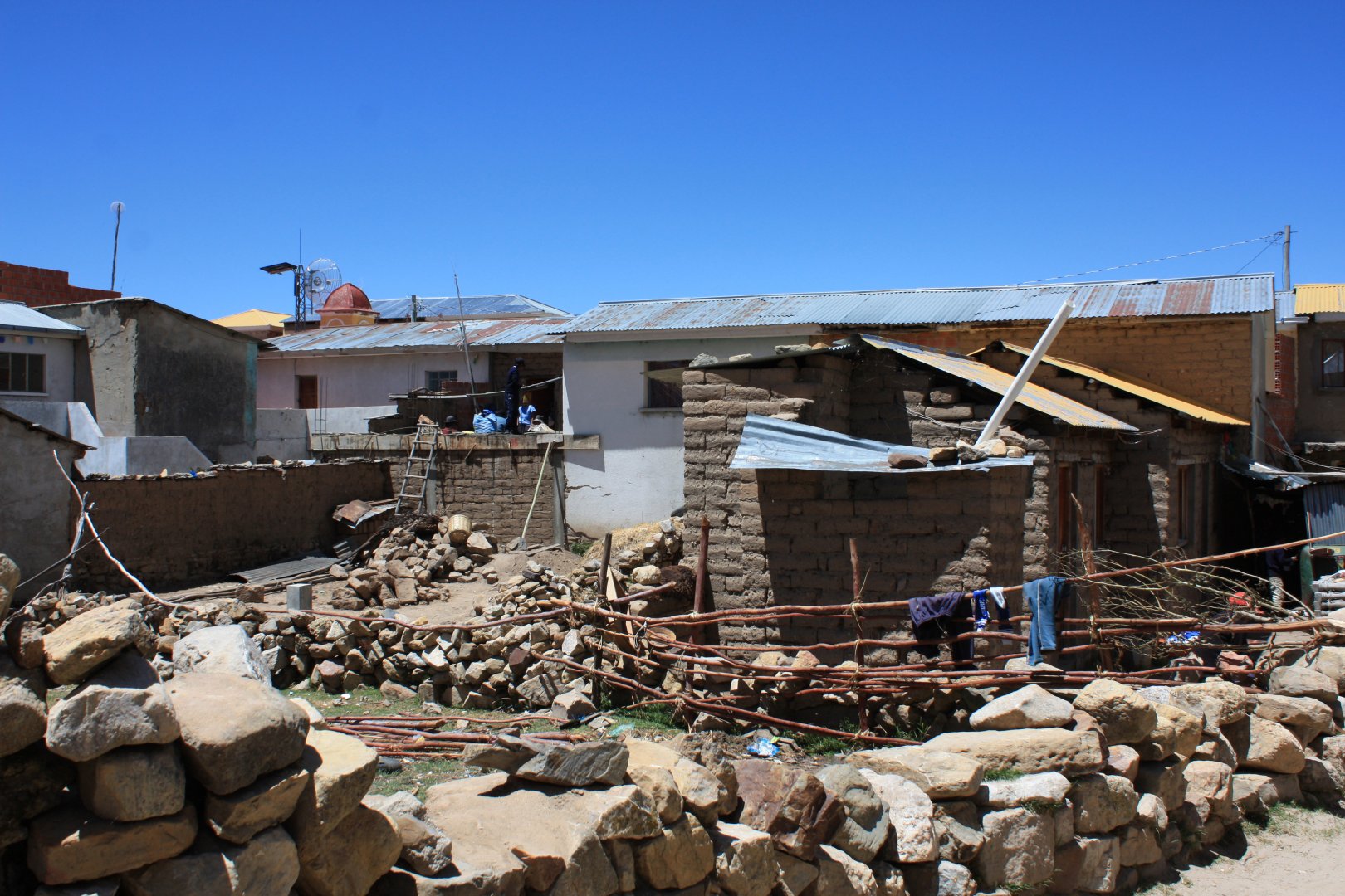
As we walk past the houses of the locals we watch masons slapping what look like bricks out of the dirt and then stacking them on top of each other on the floor of a new house, farmers trying to get something green out of the rocky soil, and of course young children at the school. People are really relaxed on the island (like everywhere else in Bolivia), mostly chewing or drinking coca. They sell dried fish or souvenirs, but they don't force anything on tourists. The peaceful atmosphere of the island is enhanced by the fact that there is no motorized transport on the island.
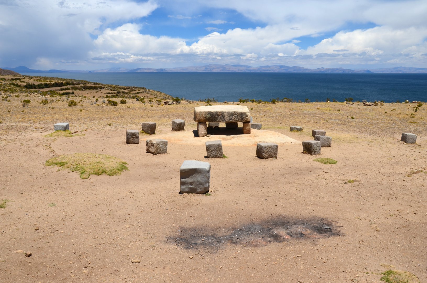
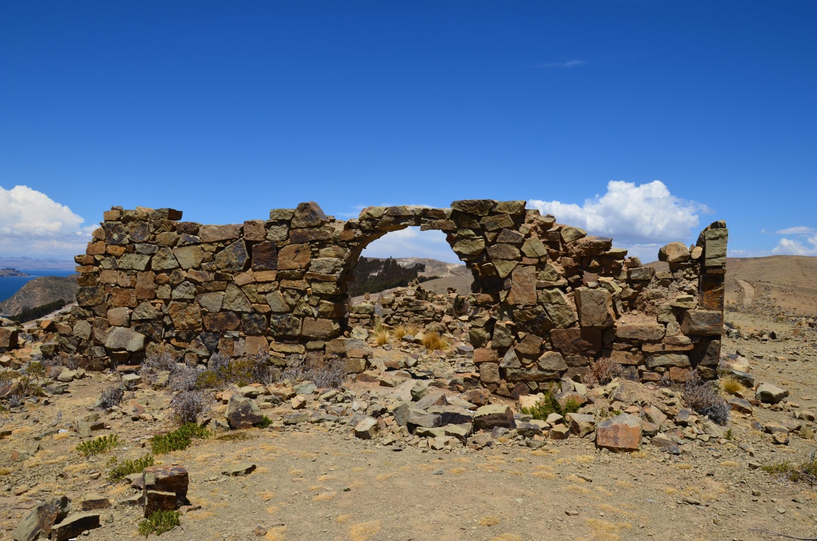
There are no cars or motorbikes. Only mules and llamas are used as means of transport on the island of the sun. We soak up the atmosphere at the sacrificial site, the ruins of the old temples and the whole area around the mythical Lake Titicaca, where one of the greatest empires of this beautiful continent - the Incas - originated. We then sail from the port back to the mainland to the town of Copacabana (this is not the famous Copacabana beach - that is in Brazil).
Difficulty
The trip is not difficult and can be done even by an untrained person or a child, just in a longer time. The trail is at a high altitude (around 4,000 m above sea level), so it may be harder to endure for people without acclimatization or coca.
Because of the high altitude, we rated the hike as difficulty two, where the lower density of oxygen in the air makes all the physical activity greater for an untrained person. Coca (or chewing leaves or tea) is legal in Bolivia, but cannot be taken across the border. Coca has effects like a stronger energy drink - it kicks you up a notch.
Water availability
Water can be purchased before setting sail or at the shops in the marinas. For us 1,5 l of bottled water per person was enough.
Mountain peaks
From the peaks of Cerro Tikani 3 936 m above sea level, Cerro Palla Khasa 4 065 m above sea level and Cerro Chequesani 4075 m above sea level, there are amazing views of Lake Titicaca and the surrounding six-thousanders.
Danger
The route on the island is clear (it is impossible to go off-trail, the island is quite small) and relatively easy, technically undemanding (wide path, no technically difficult passages). Thus, the only problem is the high altitude and for a poorly acclimatized person it can cause difficulties.
It is good to have plenty of fluids and to acclimatise gradually. We arrived from Chile to Isla del Sol in one day, covering over 3,000 metres of elevation gain. Two of my friends were not feeling very well and were experiencing headaches (paralen helped).
Food
Refreshments in the port "restaurants", a Mila bar was enough for us. The restaurants usually serve fish and various kinds of pancakes. They only have bottled beer (local and well-known brands). Prices are very reasonable (you can eat well on Isla del Sol for under 100 CZK - 2012).
Attractions
Lake Titicaca in the Central Andes, at an altitude of 3,812 m, is the largest alpine lake and the highest lake with regular boat traffic on earth. It covers an area of 8,562 km², is 204 km long and up to 283 m deep. Inca legend has it that Viracocha, the bearded god who created the universe, emerged from the waters of Lake Titicaca and created the sun on this spot. Life on the island is peaceful with no motorised traffic or litter on the streets (which is rare for Bolivia)..
Photos