Mountain range, region / State
/ Austria
Season
Spring
23. 03. 2023
Difficulty
1 / 5
Elevation
↑ 279 m
↓ 279 m
Length
6.8 km
3 hours
Altitude
max. 776 m n.m.
min. 653 m n.m.
Tourist map of the Lohnbachball waterfalls in Austria
An easy trip to the Lohnbachball cascades and a climb to the Lower Austrian Dachstein
Starting point
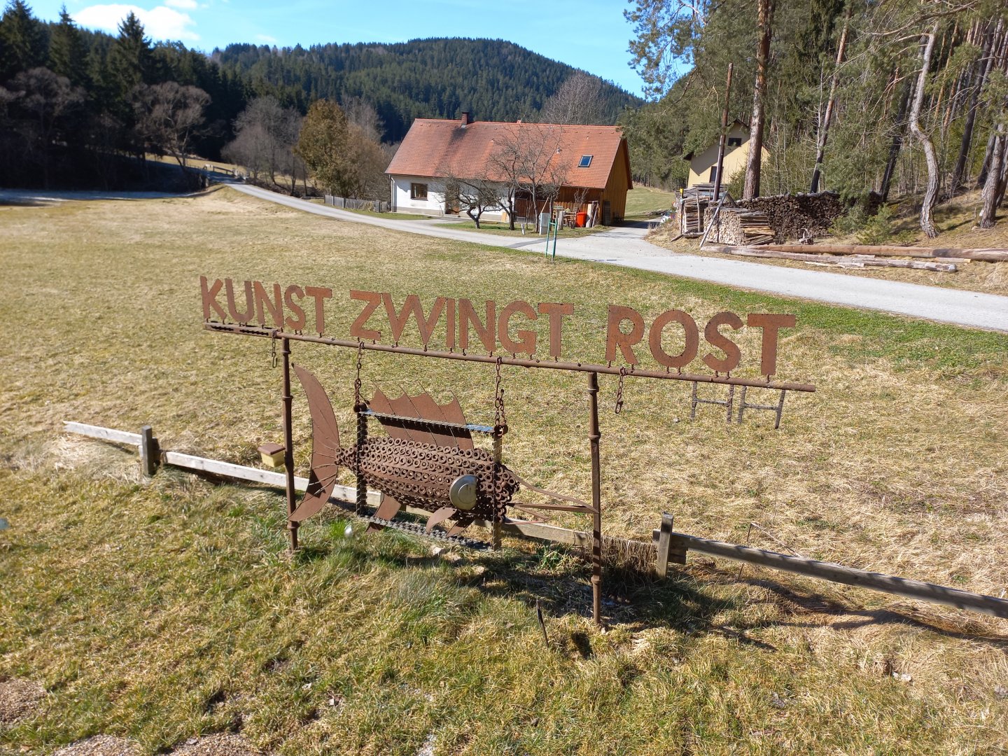
Free parking at the open-air sculpture exhibition Kunst zwingt Rost, near Lohn.
Description of the hike
After a visit to the Lower Austrian castle Rappottenstein, we were tempted to discover other pearls of the Waldviertel. Below the castle flows the river Kamp, into which the Lohnbach stream flows a few kilometres to the south. A short distance from its mouth, the stream flows through a gorge and forms the cascades of the Lohnbachfall.
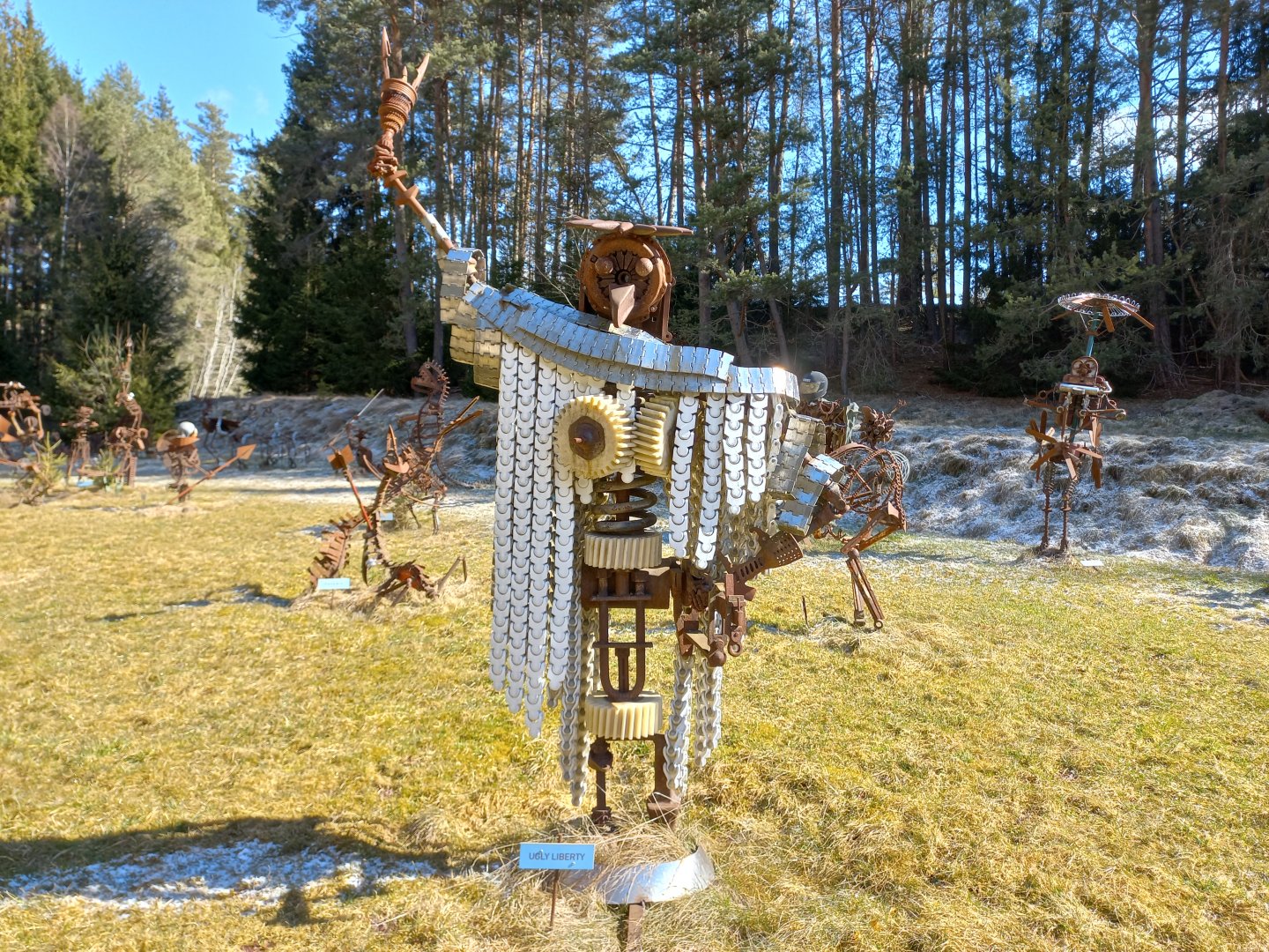
The bear trail also continues here. Leave the car below the village of Lohn, in the car park of the open-air sculpture exhibition "Kunst zwingt Rost". Dozens of sculptures, made of metal parts covered in rust, are installed on the sides of the road. We walk on the grass among the sculptures and enjoy the captions - there's a phoenix bird, Ugly Liberty's Statue of Liberty, wrestling boxers, a tortoise rider and even the artist's version of the Lord's Last Supper, aptly titled Last Party.
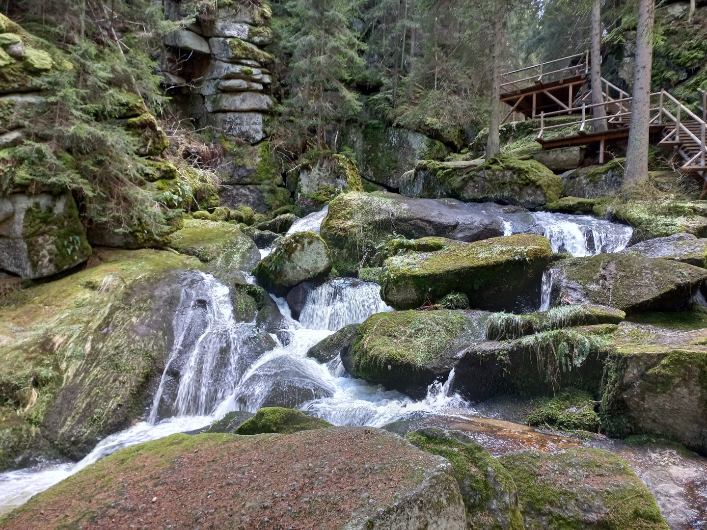
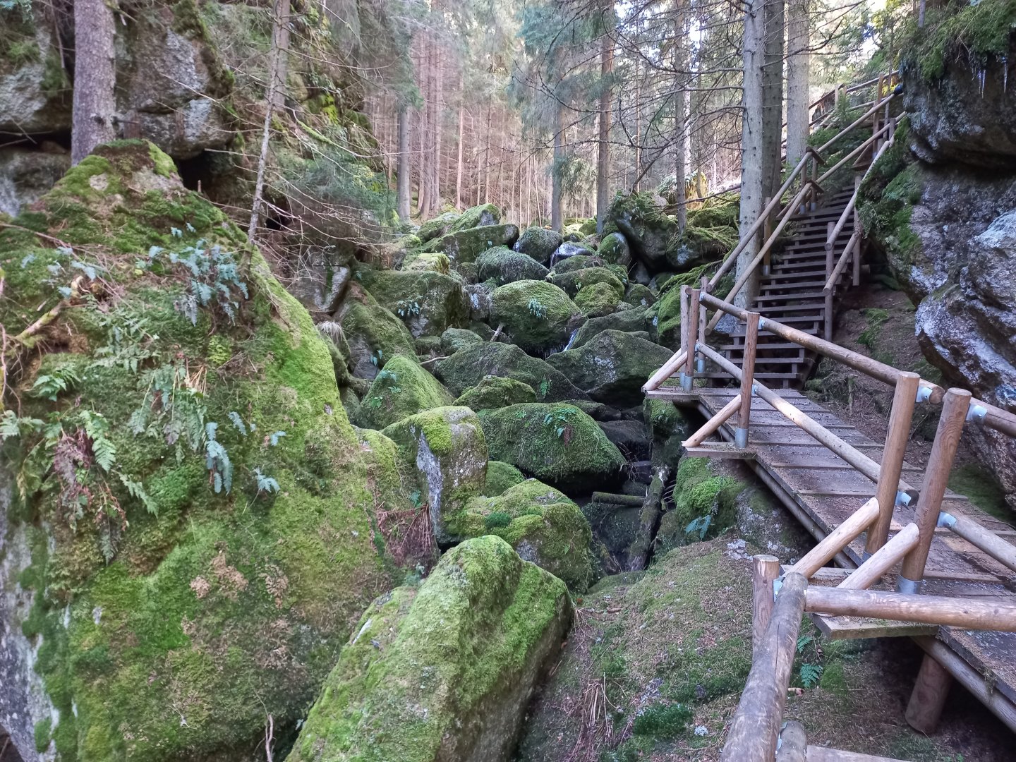
After a while, we continue on through the Lohnbach stream valley. Just beyond the forest boundary, the terrain rises into a ravine and the creek forms its first small waterfalls. We go down a few meters to the water, it is necessary to make sure that it is still wet :-) We climb over the moss-covered boulders and work our way to the top of the gorge, where there is the Lohnbachfall, several metres wide.
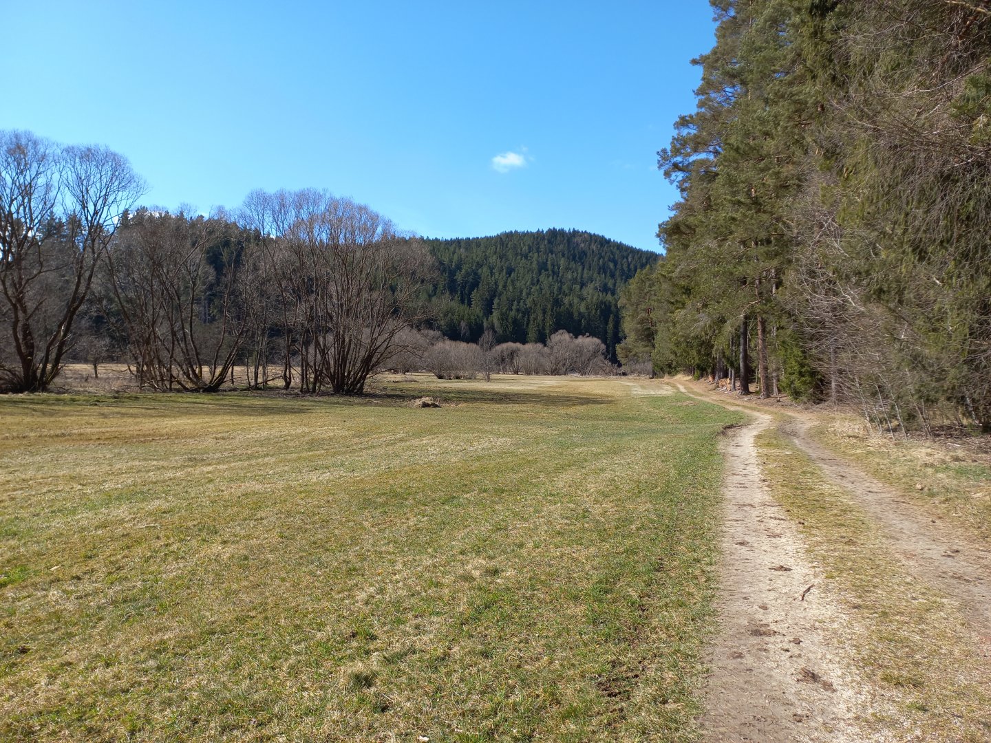
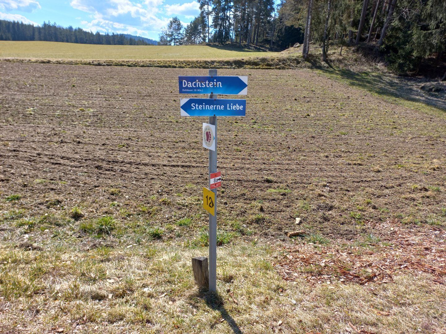
We go around it from the right on wooden stairs. Behind the viewing platform the stream disappears under the rocks. But it reappears behind the gorge, wider and calmer, meandering through the spruce forest. At a fork, turn right and climb towards Pretrobruck. Nearby is the Dachstein rock (no, it is not the Dachstein glacier, but a local rock) and we cannot miss the climb up the rock of this name.
Beyond the forest, on the path between the meadows, we arrive at Steinerne Liebe (Stone Love), two boulders leaning against each other in a kiss. Around the draws we then hurry eagerly to Dachstein. Around a bend in the road, we finally see it. Although it is much smaller than its almost-three-thousand-foot namesake, the rock with its stone canopy (Dach=roof, Stein=rock) is a delight. So we climb to the top of the Dachstein and then rest on a bench in the sun to replenish our strength for the journey ahead.
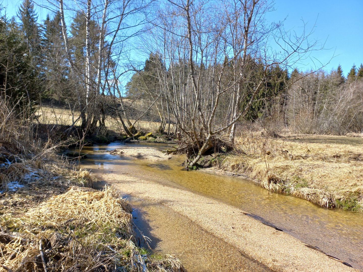
We cross the meadows back to the crossroads above the waterfalls. We don't want to go all the way to the footbridge, the sun is shining, so we ford a stream on the shallow sand and climb uphill to the village of Lohn. Above the village is another attraction - Schalenstein - a stone with a hollow full of water (and leaves and pine needles). They say that whoever drinks it will be immortal, but we don't want to try. We walk out of the forest and past the village of Lohn, we follow the asphalt road back to the parking lot.
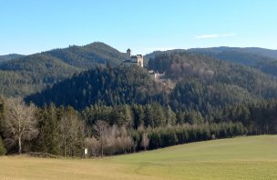
On the way back home we stop at the nearby Arbesbach. The ruins of a watchtower on top of a granite rock can be seen in the distance. The Waldviertler Stockzahn - Waldviertel Stool (Stockzahn - stool - tooth) was a small castle with a distant view, which was supposed to protect Rappottenstein Castle from attacks by Slavs, especially Czechs from the north. Unlike the impregnable Rappottenstein, the hill was captured and destroyed.
At the end of the 19th century the castle was repaired and the tower was rebuilt into the Alexanderwarte lookout tower. When the weather is nice, you can see the Alps up to 150 km away. At a nearby bakery/sweetshop we resist the wide range of regional goodies, pick up a key (entrance fee €2 adult, €1 child) and climb to the castle (arrow Ruine). We climb the wooden stairs to the tower, unlock it, push the sliding door at the top and then just admire the Waldviertel and the Alps from 900m above sea level - the Schneeberg, Ötscher and Hochschwab shine to the east, the Gesäuse to the south, the Totes Gebirge to the west and even the "real" big Dachstein.
Difficulty
This is an easy walk suitable for families with children (no prams, there are steps on the path).
Water availability
There is a well in the car park - a self-servic estore from which you can get cold drinks and drop money into the cash box. In nearby Arbesbach there is a pub and a wonderful bakery-sweetshop with regional delicacies - poppy seed and apricot cakes, homemade cheeses.
Mountain peaks
On this route you will climb the peaks of Dachstein in Lower Austria, Arbesback - Stockzahn, Alexanderwarte viewpoint.
Danger
The route is not dangerous, suitable for older children. Just be careful on the rocks near the waterfalls in wet weather, they will be very slippery.
Food
We had food with us, in Arbesbach there is a bakery - cafe, Zwettel (about 20 km) - restaurants, supermarkets.
Attractions
Arbesbach Beararium https://www.baerenwald.at/ pen from about April.