Mountain range, region / State
Hostýnsko-vsetínská pahorkatina / Czech Republic
Season
Fall
13. 10. - 15. 10. 2023
Difficulty
2 / 5
Elevation
↑ 1279 m
↓ 1117 m
Length
36.7 km
3 days
Altitude
max. 893 m n.m.
min. 364 m n.m.
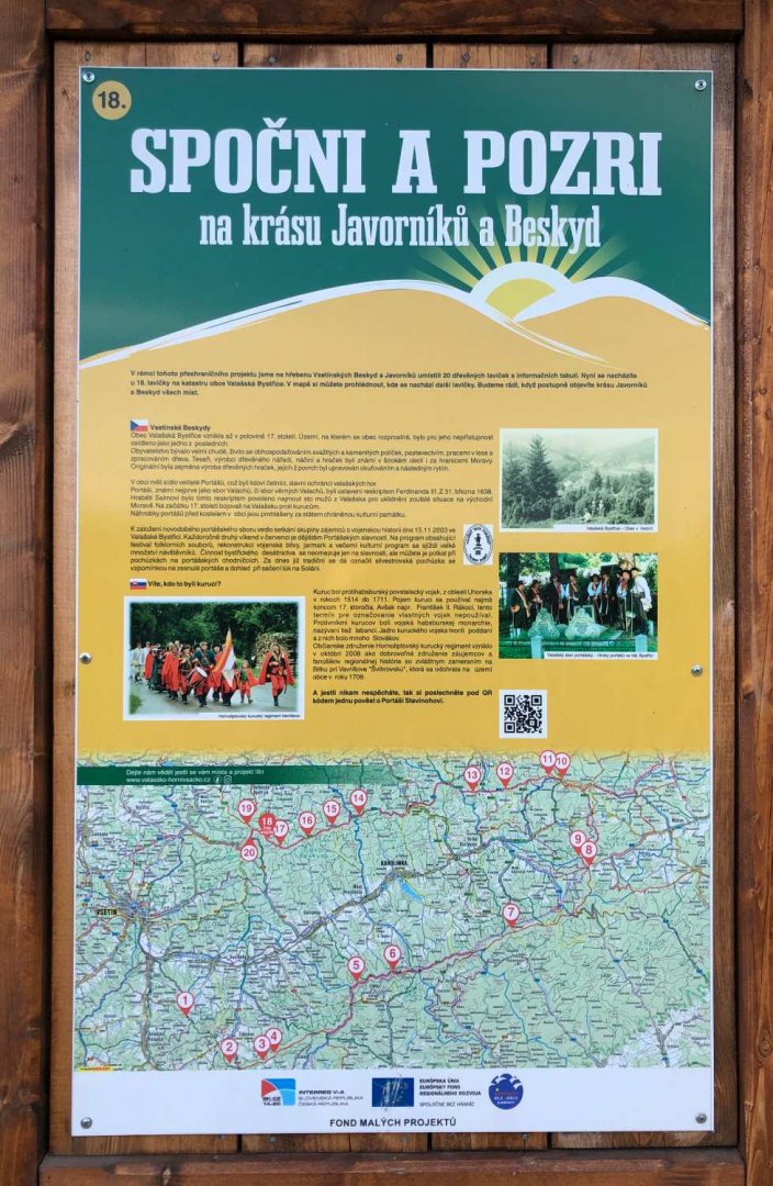
Tourist map of the Hostýn-Vsetín hill area
Tips for hikes in the country Czech Republic

A short hike with children to the Žižkov Memorial at Trocnov

Two-day crossing of a part of the Javorníky Mountains with children

A trip to Psana Rock and the Slapy reservoir viewpoint
Two-day trek from Vsetín via Cáb, Tanečnici and Soláň
Starting point
I leave my car in Vsetín on Mládí street. The advantage is that it's right on the red sign where I start the trek and there are no more paid zones like in the centre of Vsetín. From the train station, where I'm going to return in two days from Velké Karlovice, it's to Mládi street about 0.5 km.
Description of the hike
1. day
I arrive in Vsetín on Friday evening. I end up leaving the car outside the centre, where there are paid zones, on Mládí Street - which is a short walk from the red tourist sign I intend to follow. The climb up the red is already pretty steep in Vsetín.
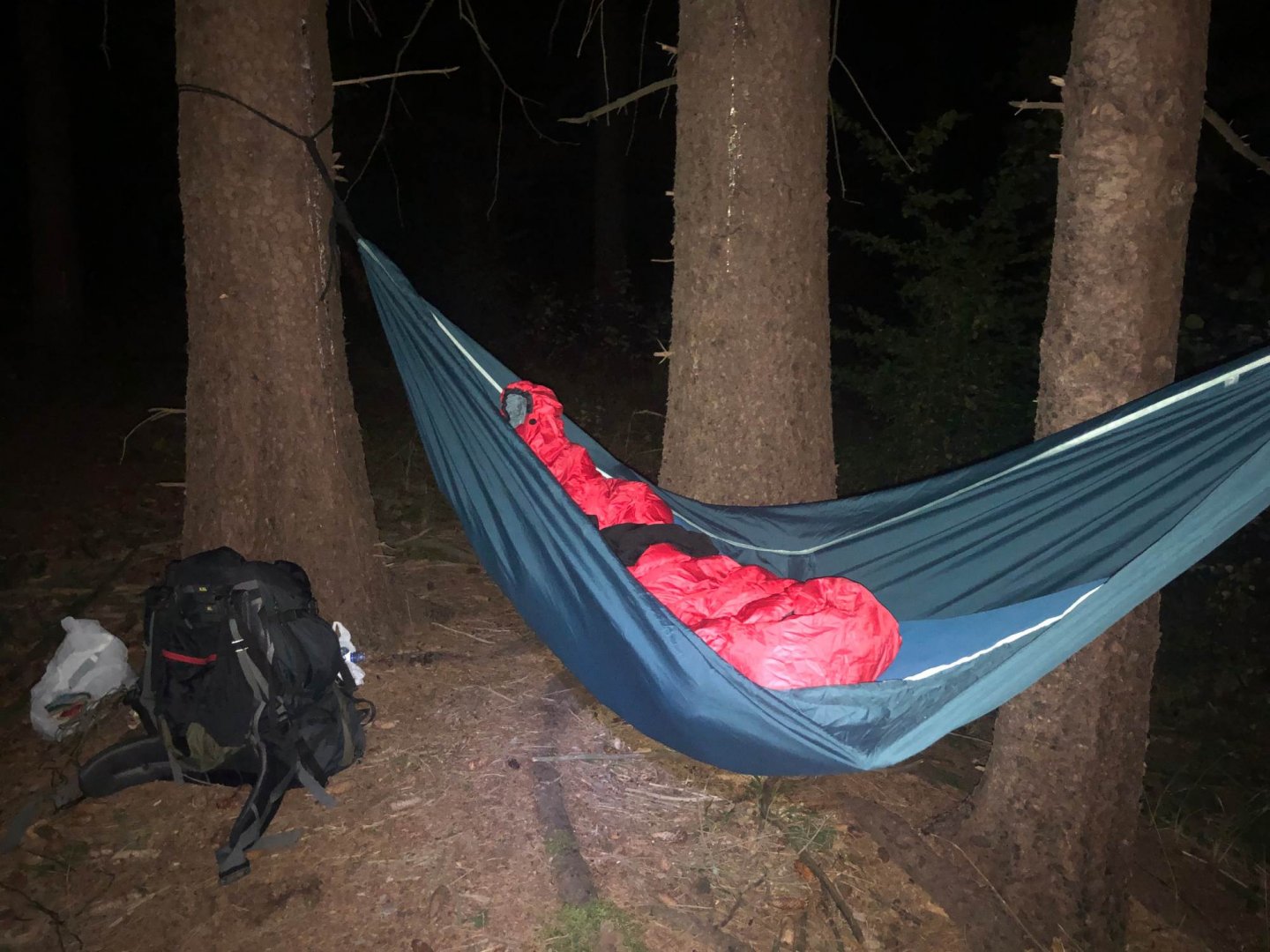
Soon I reach the forest, it's already dark (about 8 pm). I walk in the dark for about an hour to the top of Klášteřisko 588 m above sea level. I find a place to hang my hammock and sleep there (it was a nice 10°C at night, but it was blowing hard).
Data for the first day - 243 m climbed, length 3 km
2. day
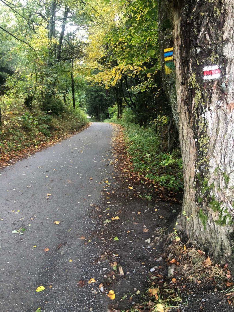
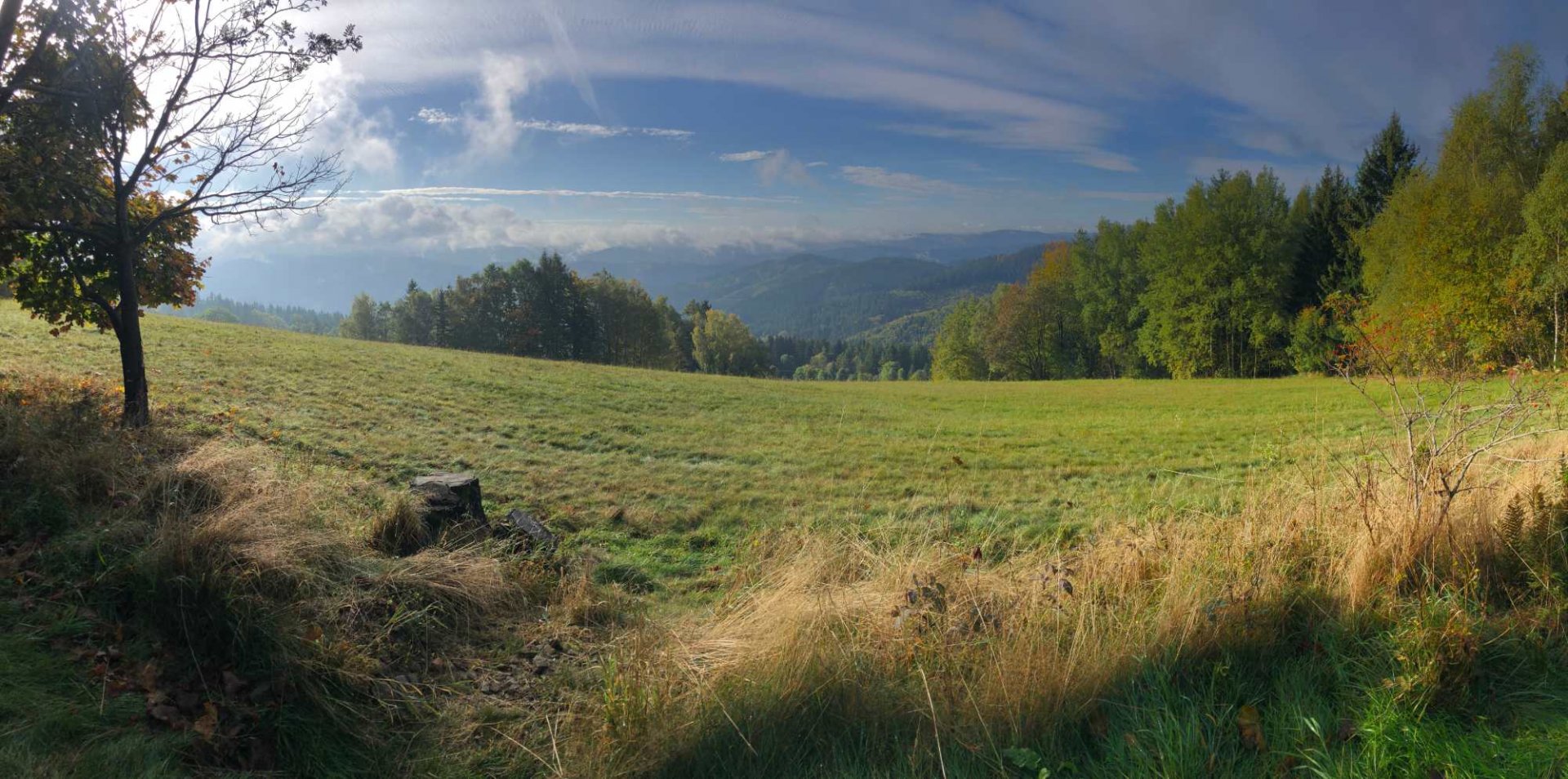
I'm packing the hammock on Saturday morning and clean up the traces of my overnight stay. I'm leaving at 8:00 for the red light. The road is a wide paved dirt and forest path. In places I meet cars, Czechs and Poles. I'm quite surprised, I wouldn't expect so many cars here. When I get to the crossroads under Dušna, it is clear to me - the Rally Vsetín 2023 is taking place here from 9:30 :) ... so that I can get off the track by following the blue trail through the village of Putýrka to the yellow tourist trail, which passes the peak of Dušná 731 m above sea level.
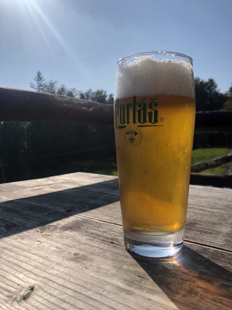
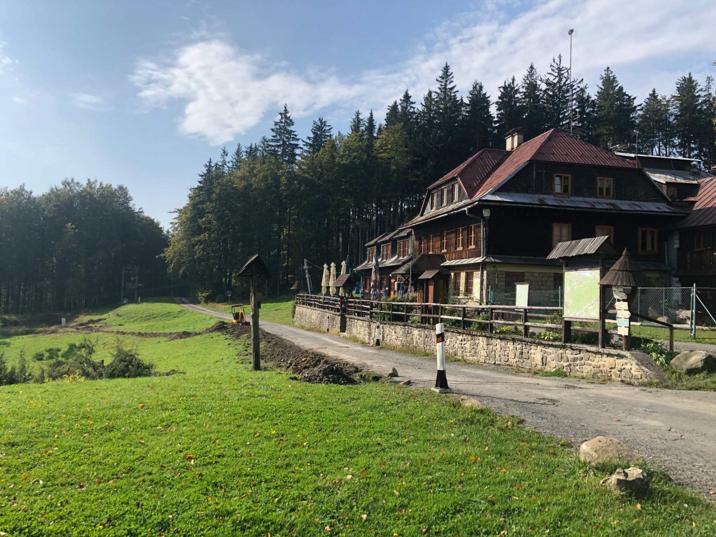
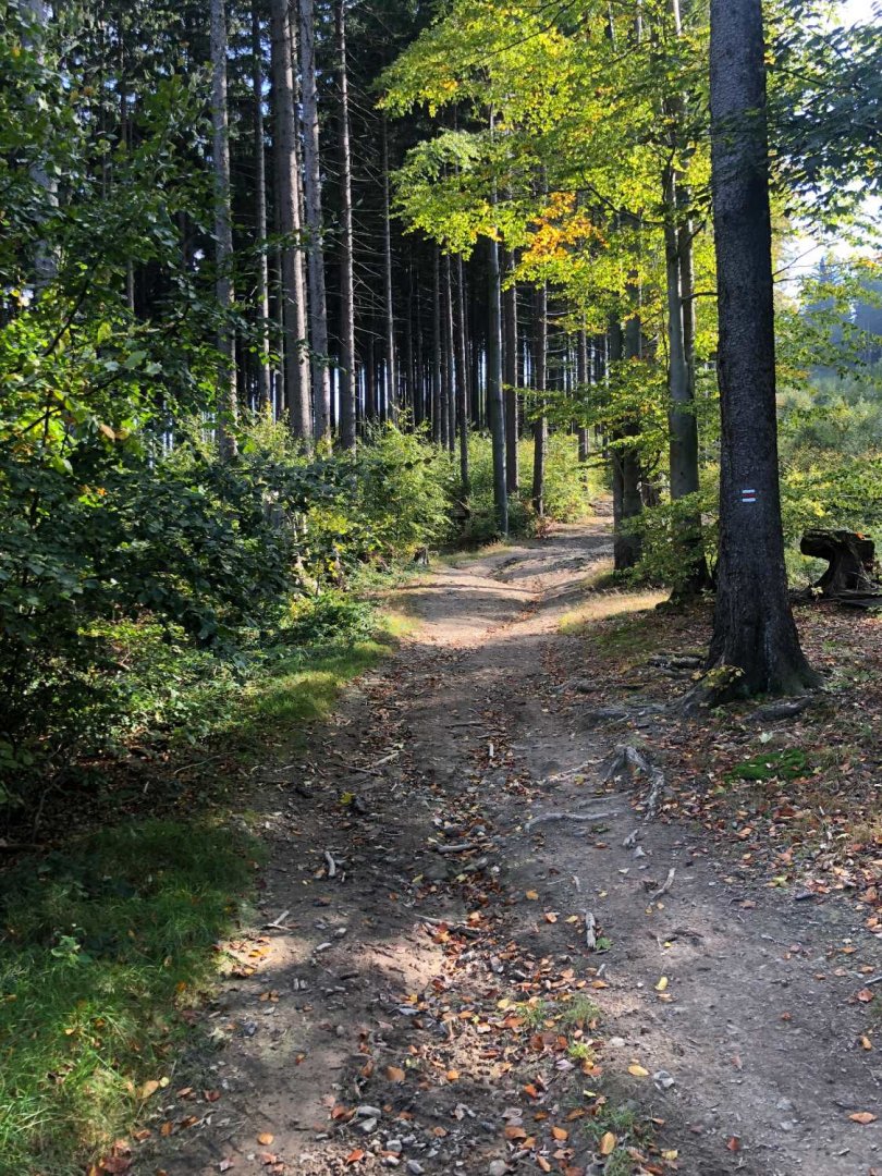
From the yellow trail I join the red trail again near Lopunice and follow the asphalt road up to the Vsacký Cáb mountain 841 m above sea level. The asphalt is not much for the legs, it is a famous cycle path here. I'm looking forward to going down to the forest path, which is a little bit behind the restaurant Vsacký Cáb, which is just below the peak - I'm having a beer :)
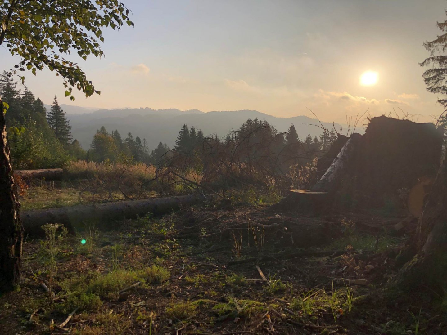
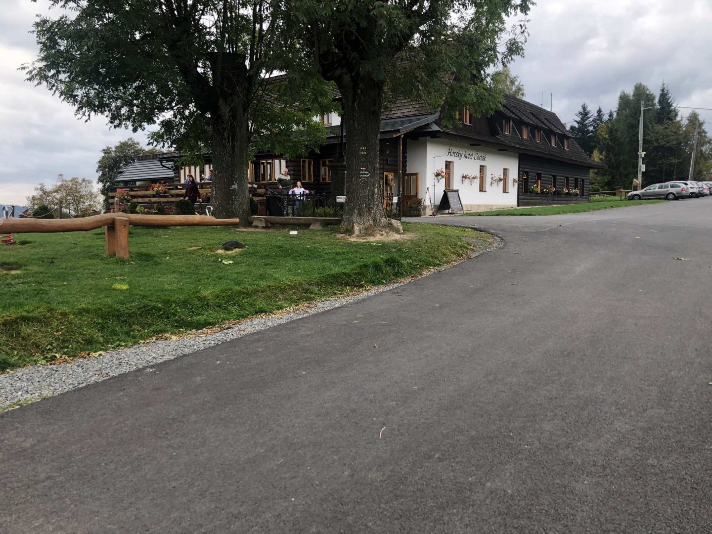
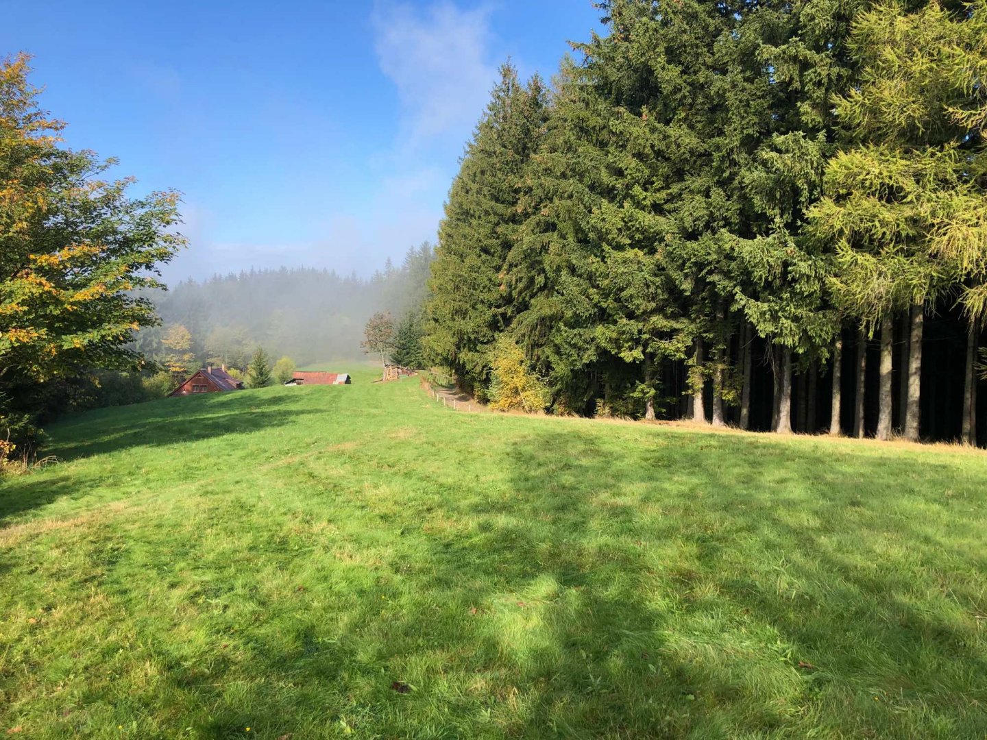
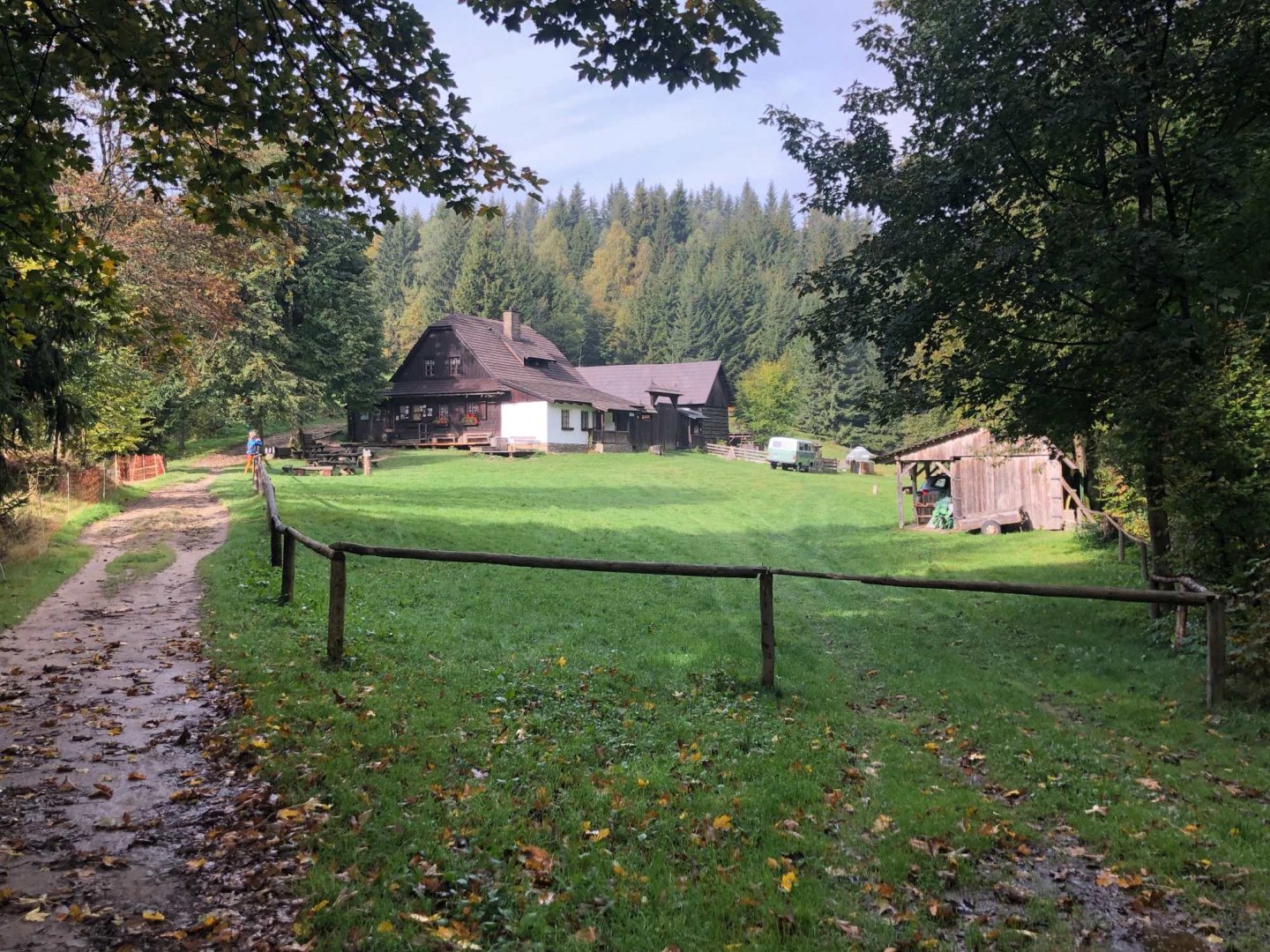
From the restaurant Vsacky Cáb to Tanečnici it is more comfortable to follow the forest path, still following the red marker. Shortly before Tanečnice I have a late lunch at Šerhovna. The whole way along the red trail goes along the ridge, but there are few views, mostly through the forest. From Tanečnice it is then a short 4 km to the Hutiska-Solanec saddle, where there is a ski resort and also the mountain hotel Čarták, where I will stay this night. It is supposed to rain at night and cool down to zero. I did very well in the end, the downpour I watched from the window lasted 4 hours.
Data for the second day - climbed 851 m, length 26 km
3. day
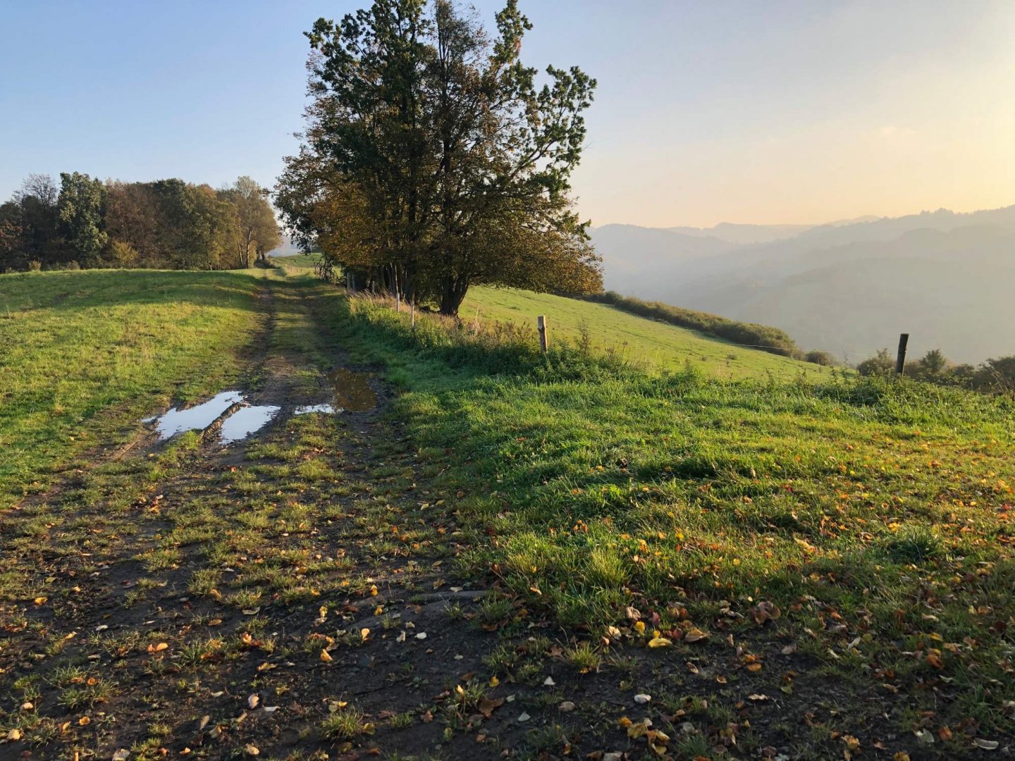
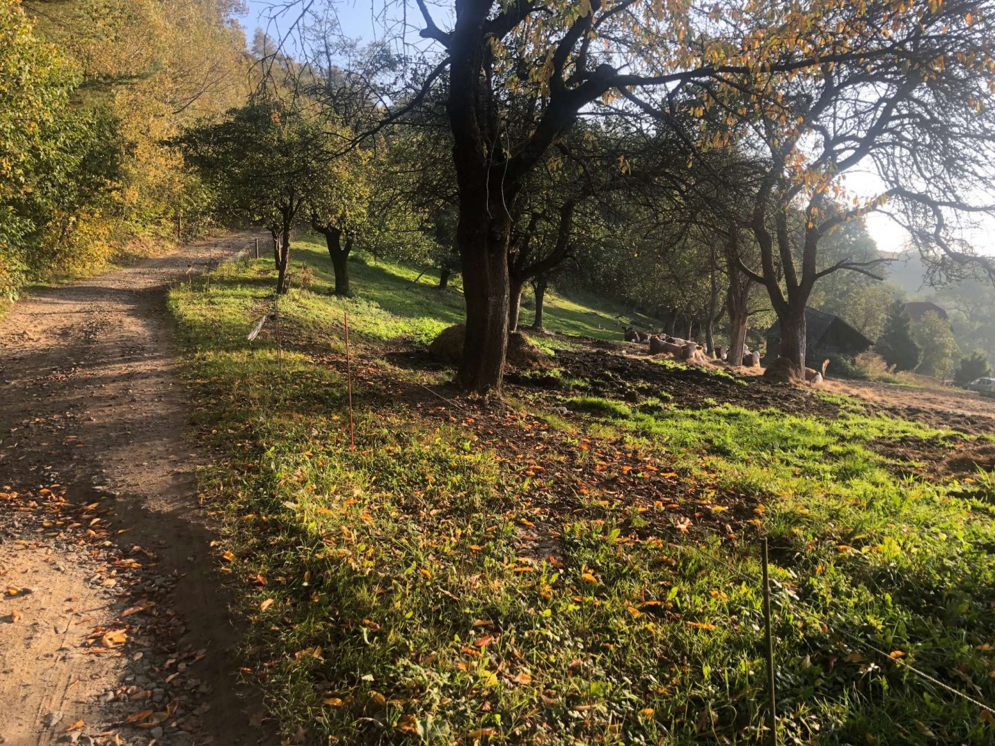
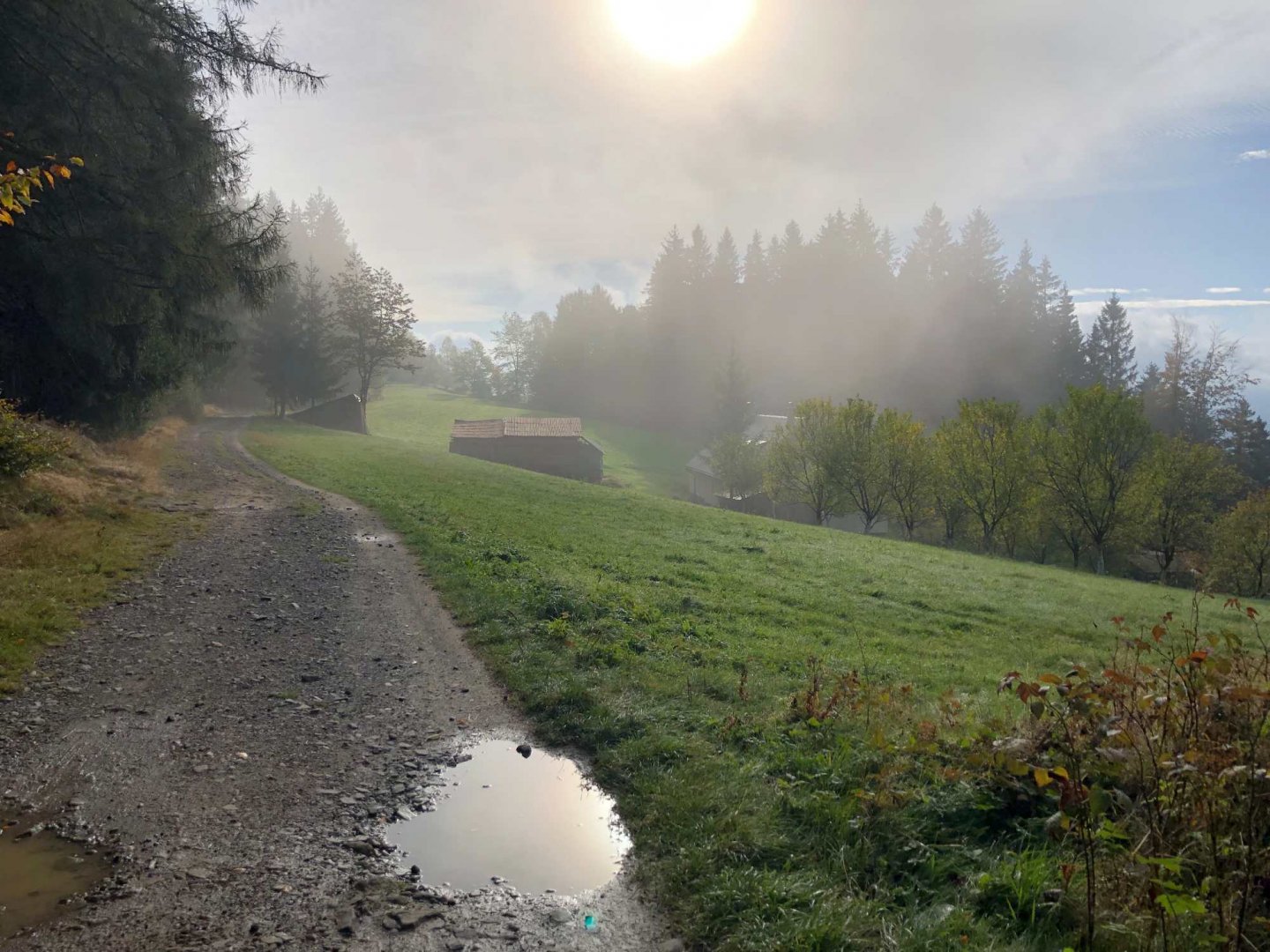
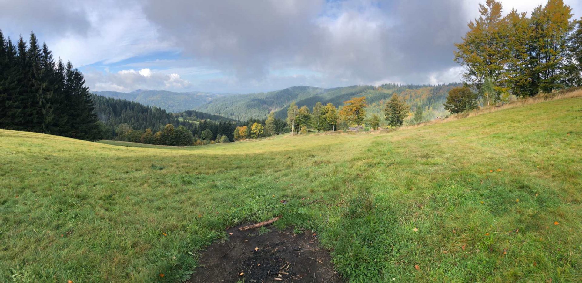
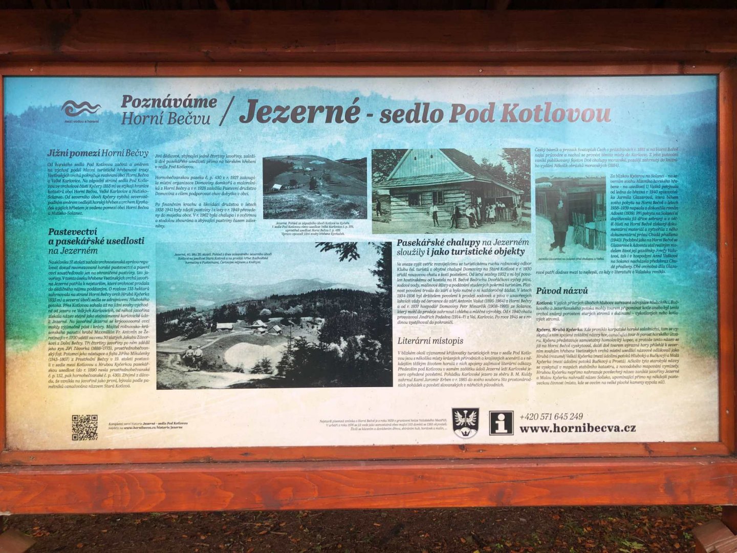
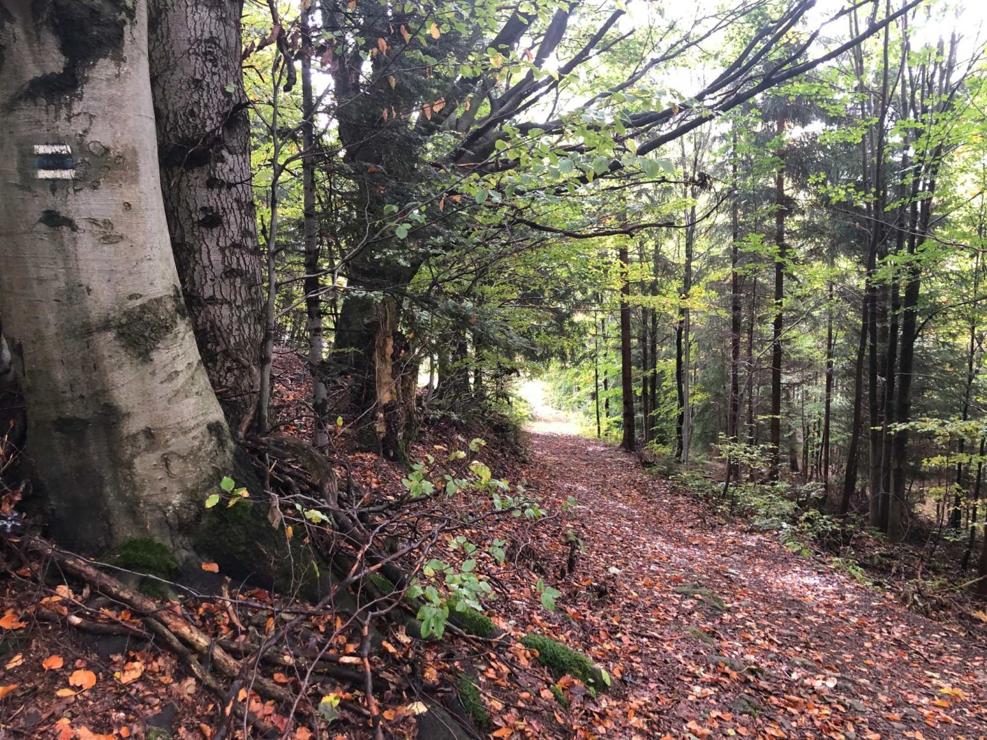
On Sunday morning I set off from Čarták, invigorated after a rich breakfast. It is only a short walk along the asphalt road to Soláň - still following the red hiking trail "Via Czechia - central" and here also following the nature trail "Over the Soláň ridge". I am on Soláň from Čarták in about 30 minutes and I continue mostly on forest paths until I reach the fork below Kotlova.
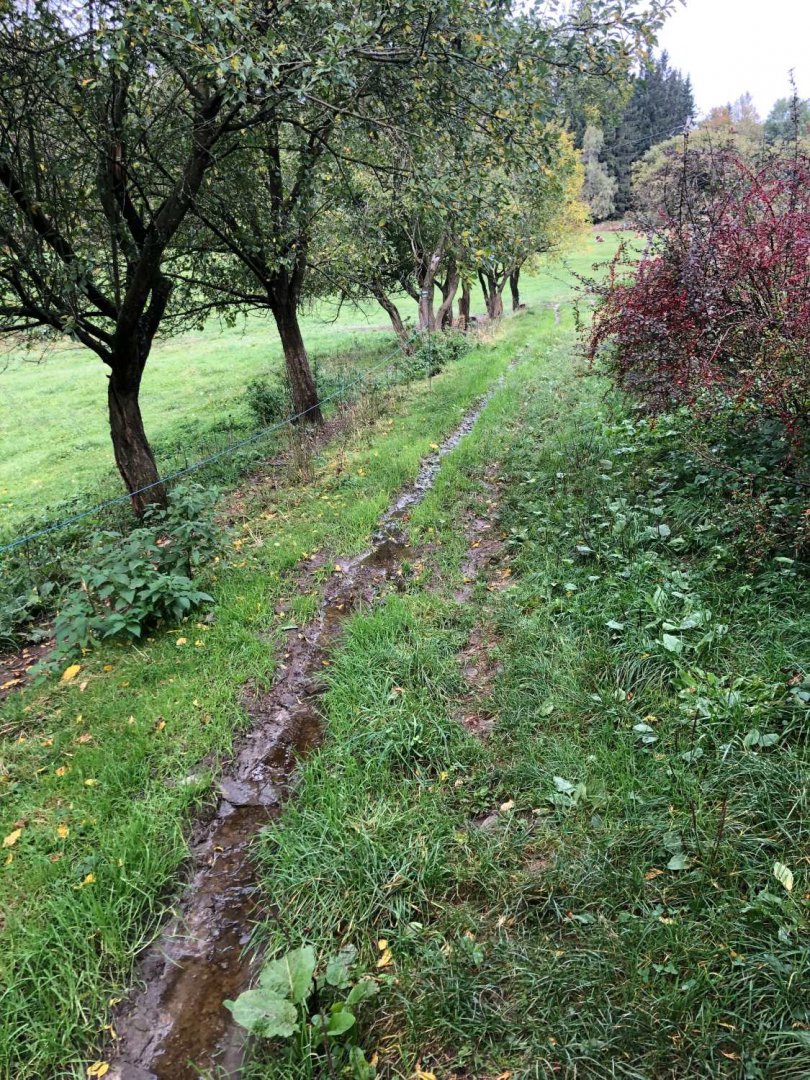
There is a possibility to refresh yourself in the so-called Wallachian window in the summer season - today in mid-October they are closed. From Kotlová I walk to the Pálenice crossroads, where I disconnect from the red sign to the blue one. After the blue one I descend from the ridge mostly by forest or dirt road to Velke Karlovice. Here I have a meal in the restaurant Potocký - I strongly recommend it. The daily menu of sirloin and broth was at the limit of edibility. After lunch, I take an alternative transport for the train back to Vsetín.
Data for the third day - climbed 200 m, length 10 km
Difficulty
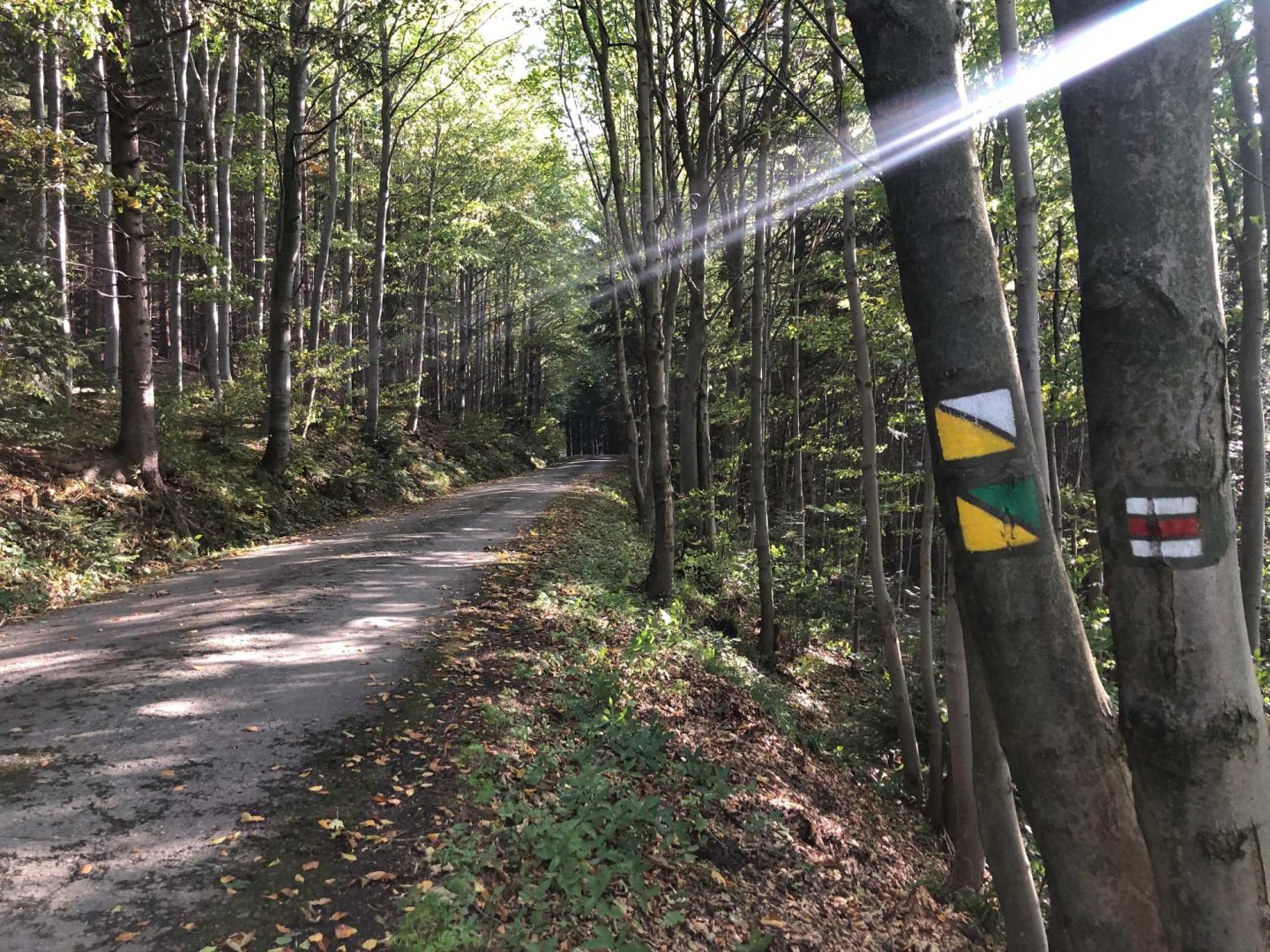
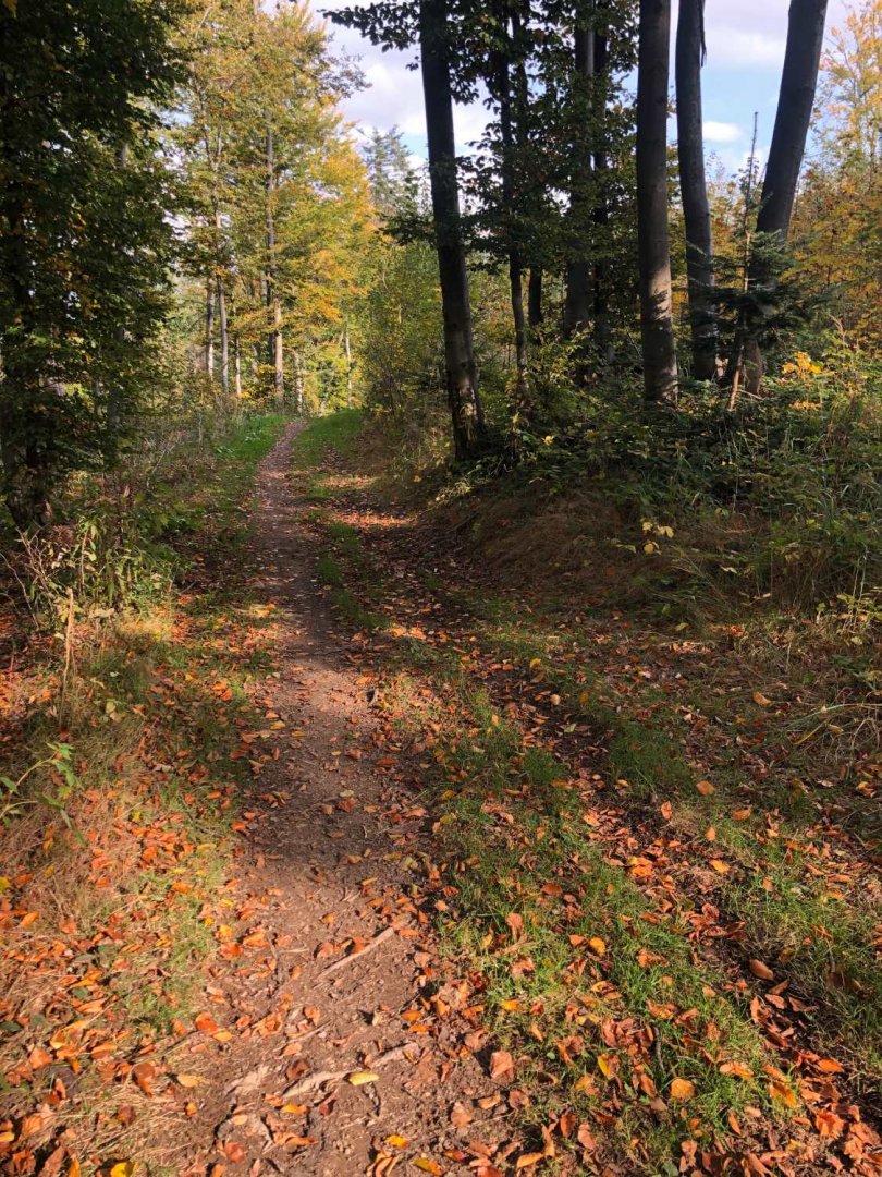
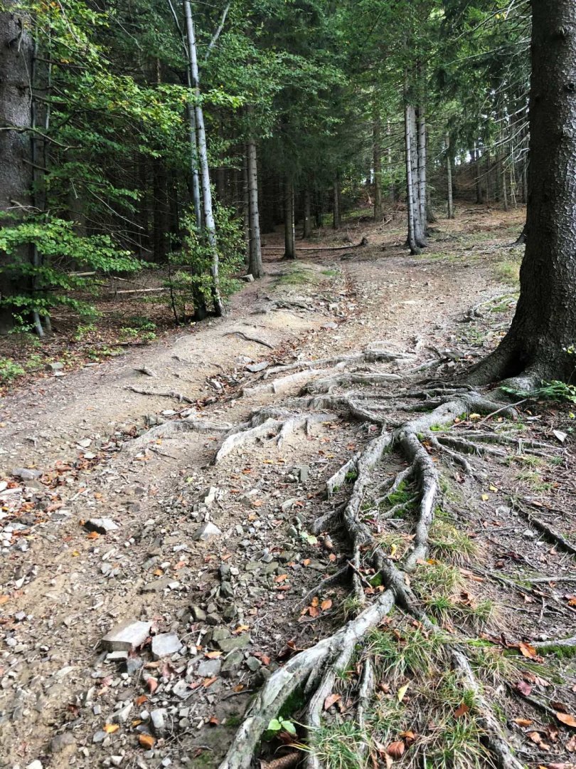
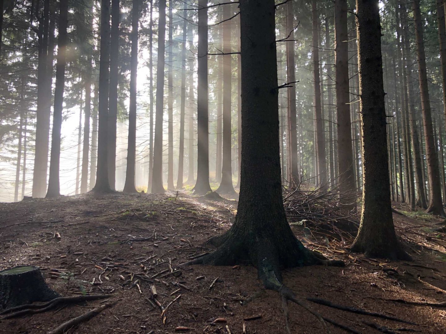
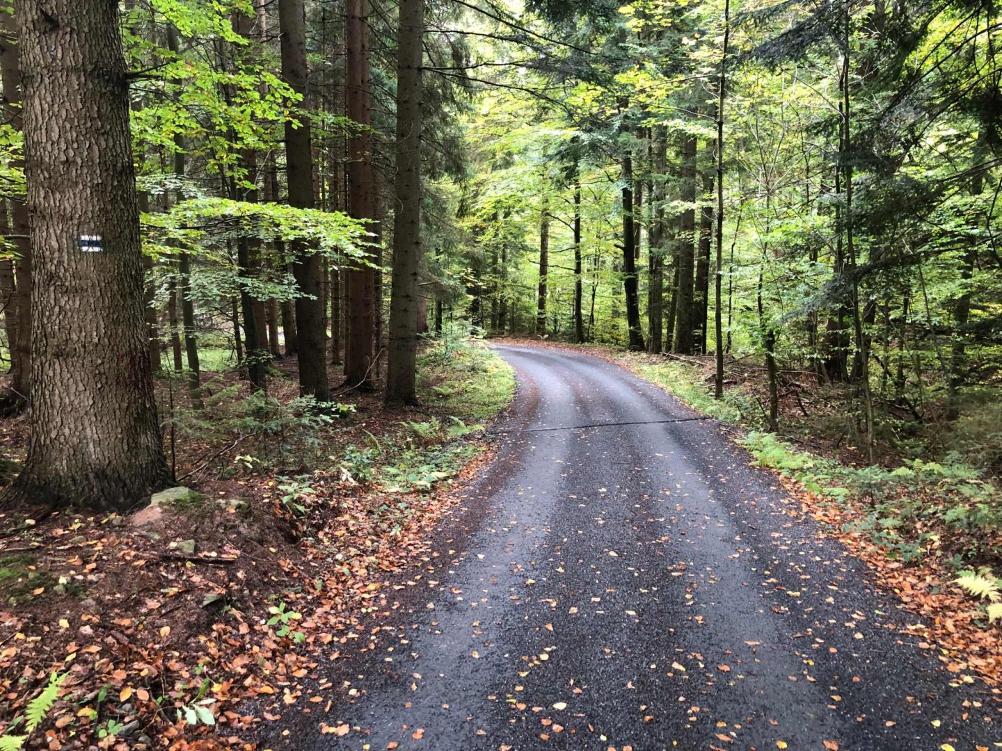
The entire trek is on forest and dirt roads or on asphalt. It is actually a popular cycling trail, but it is also worth walking. Don't expect any exposed or extremely steep climbs. From Vsetín you can climb up to the ridge via Klášteřinky and then it's easy.
Even school-age children could manage the hike. It is not suitable for strollers because some sections in the forest are full of roots and stones (maybe a sports stroller and a dad who wouldn't mind carrying the stroller occasionally would be fine).
Water availability
There are no wells on the ridge. There are, however, mountain hut Pod Vsackým Cábem and the mountain hotel Čarták, where it is possible to replenish liquids. It was enough for me to have 1.5 litres of water with me for each day, as I also refreshed myself at the huts.
Sleeping options
On the ridge you can stay in two huts Vsacký Cáb and Čarták. Respectively in the Hutisko-Solanec saddle there are more options - e.g. the mountain hotel Soláň, but here you will pay about 4 000 CZK per person per night. Čarták cost 850 CZK with breakfast - I can only recommend it.
Mountain peaks
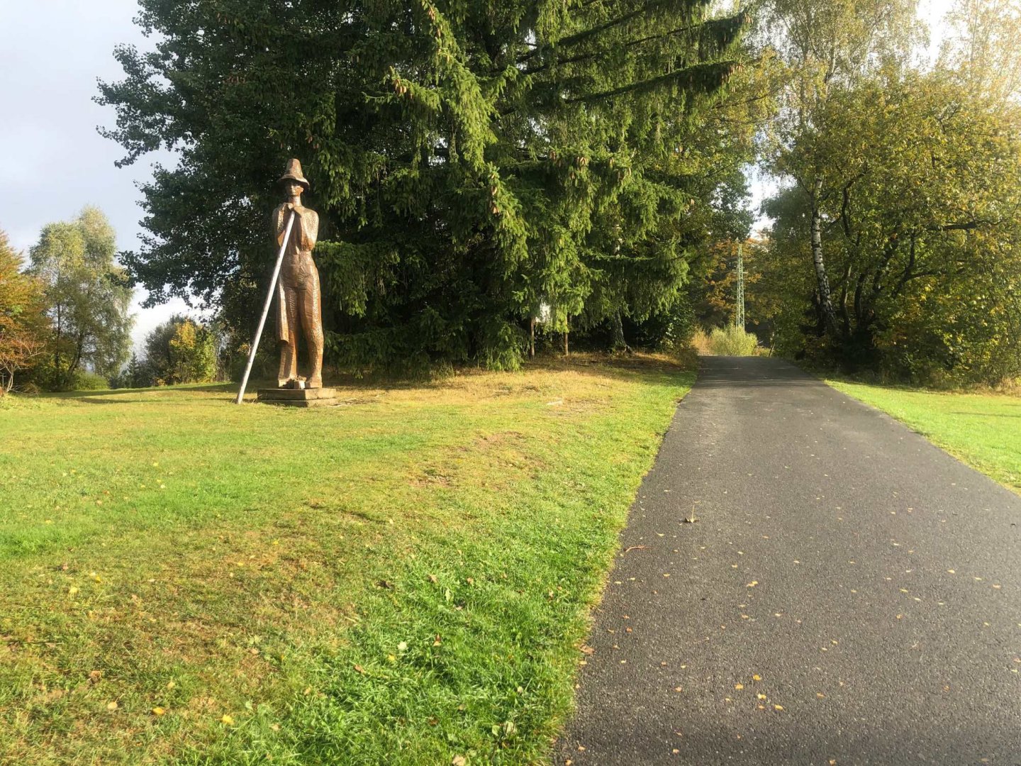
On the way along the ridge of the Hostýn-Vsetín hills you can climb from the red marker to many peaks, which are always only a few hundred metres away from the ridge. In the direction from Vsetín these are: the Vsacký Cáb 841 m above sea level, the Ptáčnice 830 m above sea level, the Lušovka 875 m above sea level, the Skálí 850 m above sea level, the Vsacká Tanečnice 912 m above sea level, the Leští 899 m above sea level, the Soláň 861 m above sea level, the Kotlová 869 m above sea level.
The views are then from a few places both on the Slovak Javorníky and towards Lysá hora on the Moravian-Silesian Beskydy.
Danger
There are no objective dangers on this hike except for possible weather deterioration. You may come across signs around Tanečnice with information about the presence of wild beasts such as lynx, wolf and bear, but it is usually such a busy road that the chances of encountering a beast are minimal in my opinion.
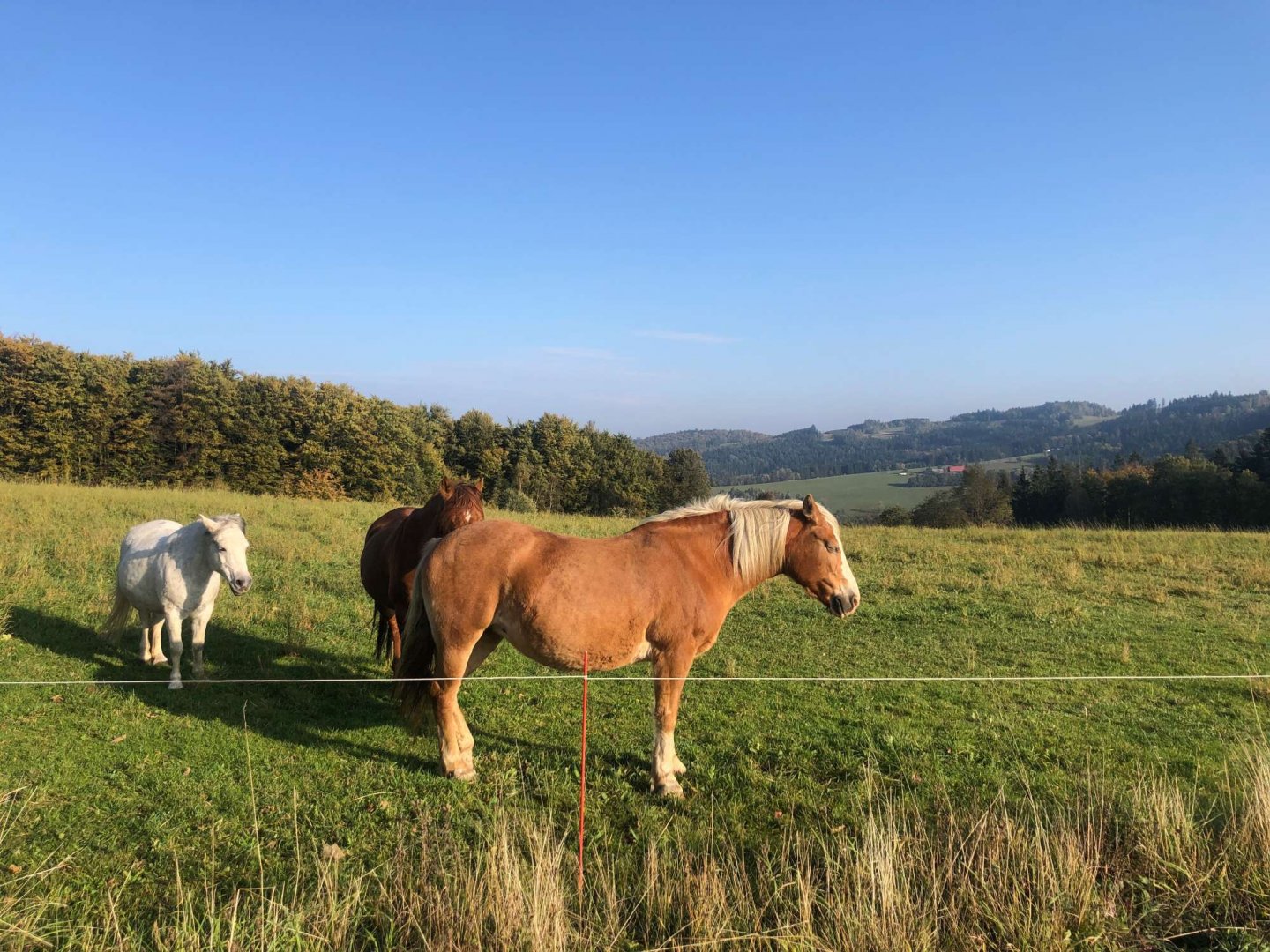
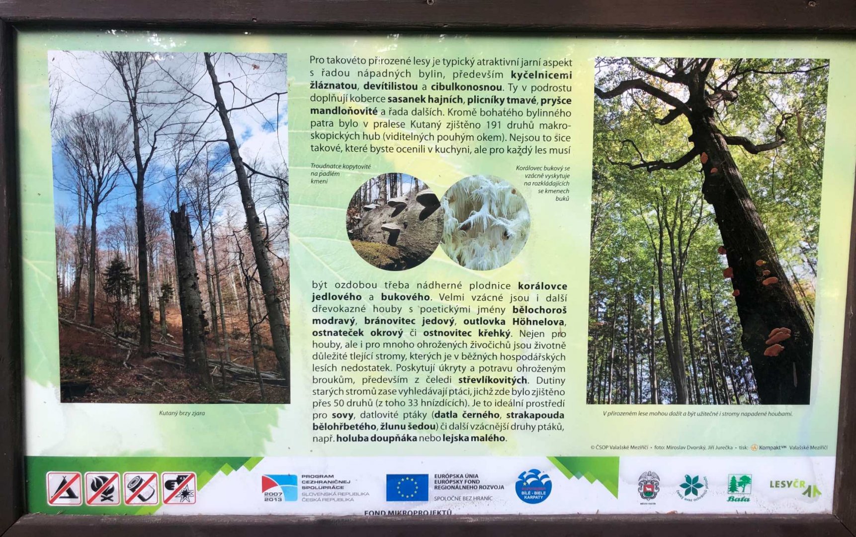
Photos