Mountain range, region / State
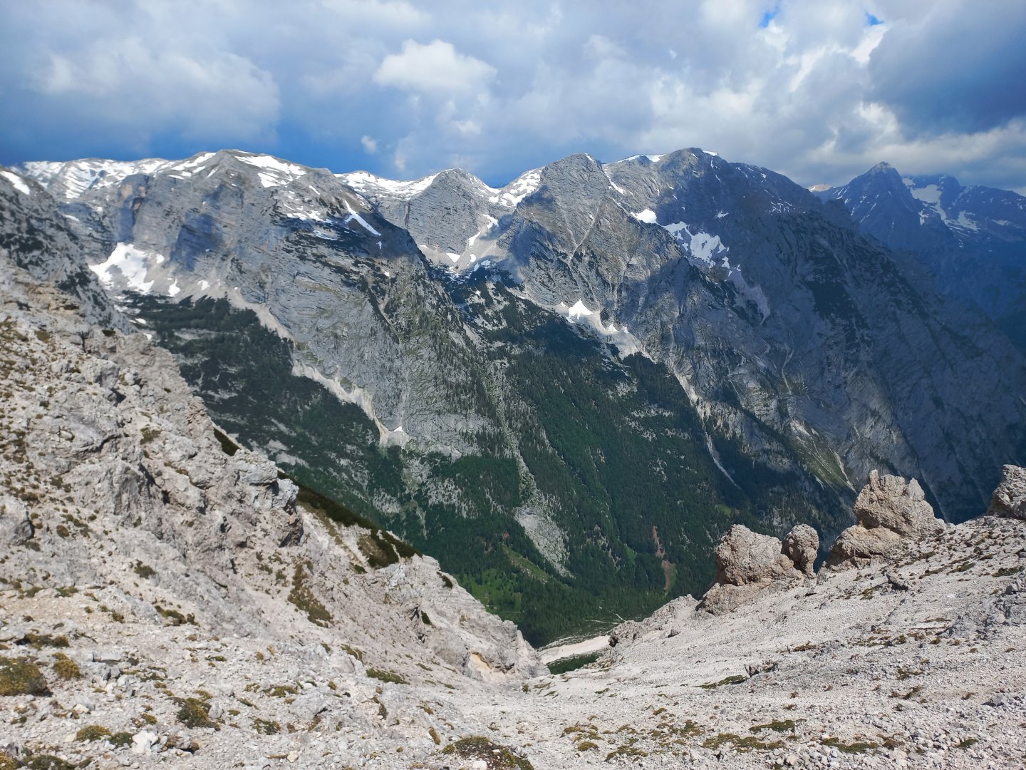
Totes Gebirge / Austria
Season
Spring
17. 06. 2023
Difficulty
3 / 5
Elevation
↑ 1431 m
↓ 1431 m
Length
21.4 km
8 hours
Altitude
max. 2106 m n.m.
min. 917 m n.m.
Tips for hikes in the mountain range Totes Gebirge
Short sports hike route to Traweng in Totes Gebirge
Circumnavigation to the Almkogel in the Totes Gebirge
Starting point
Free parking about 2 km outside Tauplitz, direction Gnanitz Alm.
Description of the hike
Difficulty
A nice scenic trek along marked hiking trails. Medium difficulty, no dangerous sections. The whole way is on mountain trails and paths. A classic alpine trek. There is some elevation gain on the route, so good fitness is definitely recommended.
Water availability
Water can be replenished from streams at several points along the way.
Sleeping options
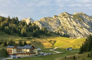
Almshouses should not be camped on freely, it is a protected area. Apparently there is also a possibility to stay overnight in the huts on the almshouses. Plenty of accommodation in the valley.
Mountain peaks
Climb to Almkogel, views of Grimming, Totes Gebirge and Enns
Danger
The route follows marked hiking trails, there is no danger. In summer, beware of thunderstorms.
Food
Food to go, refreshments available at the almshouses (self-service drinks + cash box).