A trip to the icefalls of the Doubrava River and around Chotěbor
Mountain range, region / State
Bohemian-Moravian Highlands / Czech Republic
Season
Winter
04. 02. 2023
Difficulty
2 / 5
Elevation
↑ 386 m
↓ 386 m
Length
19.1 km
5 hours
Altitude
max. 546 m n.m.
min. 426 m n.m.
Tips for hikes in the mountain range Bohemian-Moravian Highlands

Family trip to the rock town of Toulovcovy Maštale

A trip from Borová to Lucký vrch in the Highlands

A trip with views to Pernštejn Castle in the Highlands
Winter trip to the valley of the Doubrava river in the Highlands
Starting point
The trip starts in the town of Chotěbor, parking is near the railway station (free of charge).
Description of the hike
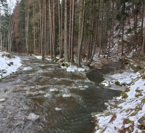
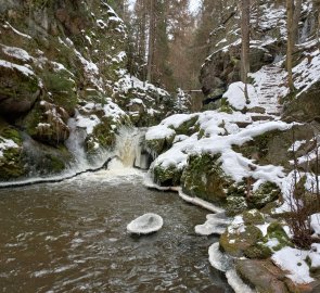
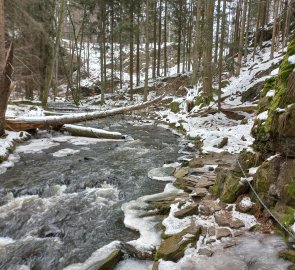
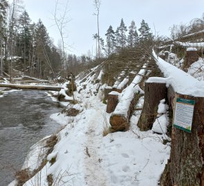
The Doubrava Valley is romantic in every season. In autumn, the route has already been described, in winter you can admire the icefalls in freezing weather. I leave the car in Chotěbor near the railway station and head along the narrow asphalt road towards Bezděkov. After a while the road descends in serpentines into the Doubrava valley. Originally I wanted to join the red sign here, but the path through the forest is almost impossible. The forest has been heavily infested by bark beetle and the woodcutters are destroying dry trees here. So I follow the asphalt to Horní mlýn, where the nature trail through the Doubrava valley begins.
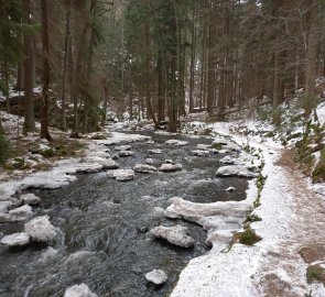
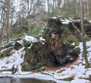
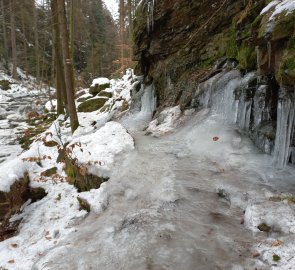
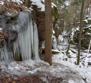
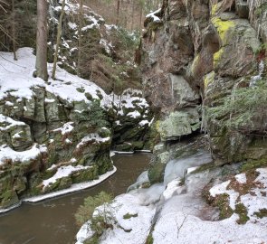
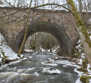
The trail is about 5 kilometres long and runs right along the river the whole way. The path is narrow, sometimes rocky, in several places there are metal bridges or stone stupas. The river is still wide at the beginning of the valley, finding its way through the trees. Not far from the Lower Mill is an interesting natural phenomenon called the Twisting Whirlpool - the river hits a terrain fault here, the water turns in the pool out of inertia and then continues over a low gorge. There is a private cottage by the pool. The tourists I meet here tell me that it used to be a sun bath and a popular forest bathing spot. Further upstream, the Doubrava narrows into a narrow canyon with steep cliffs all around. Meltwater flows down from the slopes above the river, which freezes into beautiful icicles at night. Ice stalactites hang on the rocks above the river, but there are also fences on the trail. It is ideal to use bearskins, they will prevent accidental slips. Several places are secured with chains for extra safety. About halfway along the trail, there are turn-offs to two viewpoints - right to the Devil's Table rock and left to the place where Sokolov Castle used to stand. Not much remains of the castle, but the view a few dozen metres down into the river valley is nice.
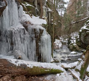
A few hundred metres further is probably the most beautiful place on the trail - the Koryto Gorge. The water flows through a narrow place between the rocks and forms a small waterfall. The trail goes around the rocks uphill and behind the gorge there are beautiful icefalls. The ice organs are several metres high. The locals say that when the frosts are severe, the ice columns are half a metre in diameter. I admire the icicles of different sizes and shapes for a while and then continue on. The river calms down again here, and occasionally I come across a wooden cabin. At the end of the valley there is a large quarry. The Forest Service intentionally leaves the felled trees here to provide fertile ground for the next generation of forest.
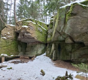
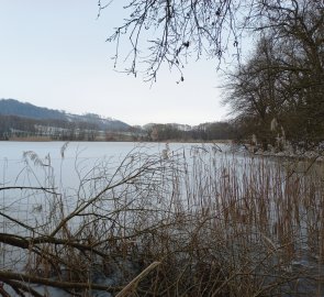
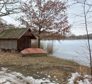
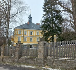
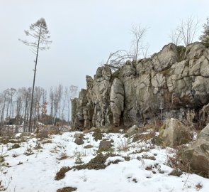
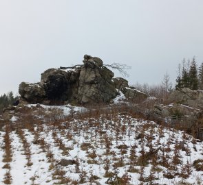
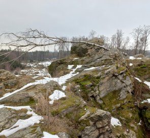
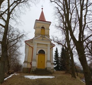
From the village of Bílek I continue along the yellow trail. The path leads through an undulating landscape between fields and meadows. A short stretch through the forest is highlighted by the Jalovecká rock. Behind Hařilová Lhotka there are several ponds in the landscape. Today they are frozen, but the sight of oak trees and dried reeds on the shore is a delight. The Iron Mountains rise on the horizon. My original intention was to climb at least the first hills and look around the landscape, but a cold drizzle and a ten-centimetre layer of snow makes me turn back at Štepánovský zámek. At Bezděkov there is a small natural swimming pool next to the road, freely accessible. I sit by the shelter, rest and replenish my energy. After a while, I continue along the dirt and forest roads, returning to Chotěbor. From Dolní mlýn I climb up the forest path up the slope to the rocks near the town. From the Domino and Koukalka rocks, thanks to the cut forest, there is a partial view of the Iron Mountains. There are short training routes for climbing and bouldering on the rocks. From Koukalky, you can follow the linden avenue to the Chapel of St. Anne above the town. The chapel was built as a thank you for finding a boy who was lost in the forest and healing him with water from a nearby well. From the chapel it is only a few metres back to Chotěbor.
Difficulty
A trip around Chotěbor. The route passes through the romantic valley of the Doubrava River, where there are icefalls in winter. Further through the undulating landscape of the Highlands along field and forest roads. Near Chotěbor there are nice rock climbing areas for practice climbing with views of the Iron Mountains. The path leads along marked hiking trails.
Water availability
Water and food to go, no refreshments in winter.
Sleeping options
I wasn't looking, it's a short trip. There are more accommodation options in Chotebor, for example in Hotel Vysočina on the square.
Mountain peaks
The route offers views of the nearby Iron Mountains.
Danger
The trail in the Doubrava valley is icy in frost, so well suited for snowshoes. Some sections were completely covered with ice. Iron steps and footbridges have been installed in several places for better walking.
Food
Be sure to take your food with you, the restaurants are in the town of Chotěbor.
