Mountain range, region / State
/ Czech Republic
Season
Fall
20. 11. 2021
Difficulty
1 / 5
Elevation
↑ 485 m
↓ 485 m
Length
5.9 km
3 hours
Altitude
max. 962 m n.m.
min. 529 m n.m.
Tips for hikes in the country Czech Republic

A short hike with children to the Žižkov Memorial at Trocnov

Two-day crossing of a part of the Javorníky Mountains with children

A trip to Psana Rock and the Slapy reservoir viewpoint
A trip for a great inversion on Ondřejník
Starting point
Parking at the Opálená ski resort. Access is from Čeladná. It is also possible to use the train and get off at the stop Čeladná.
Description of the hike
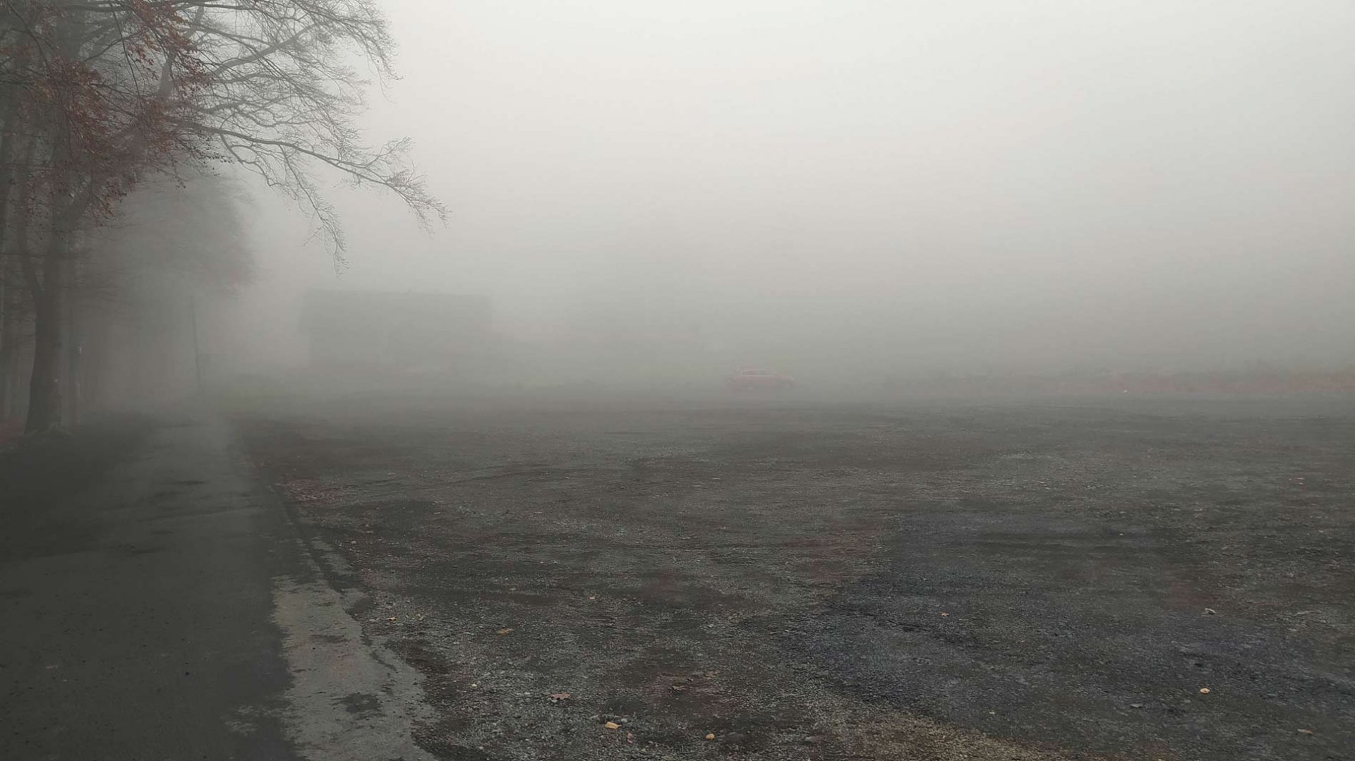
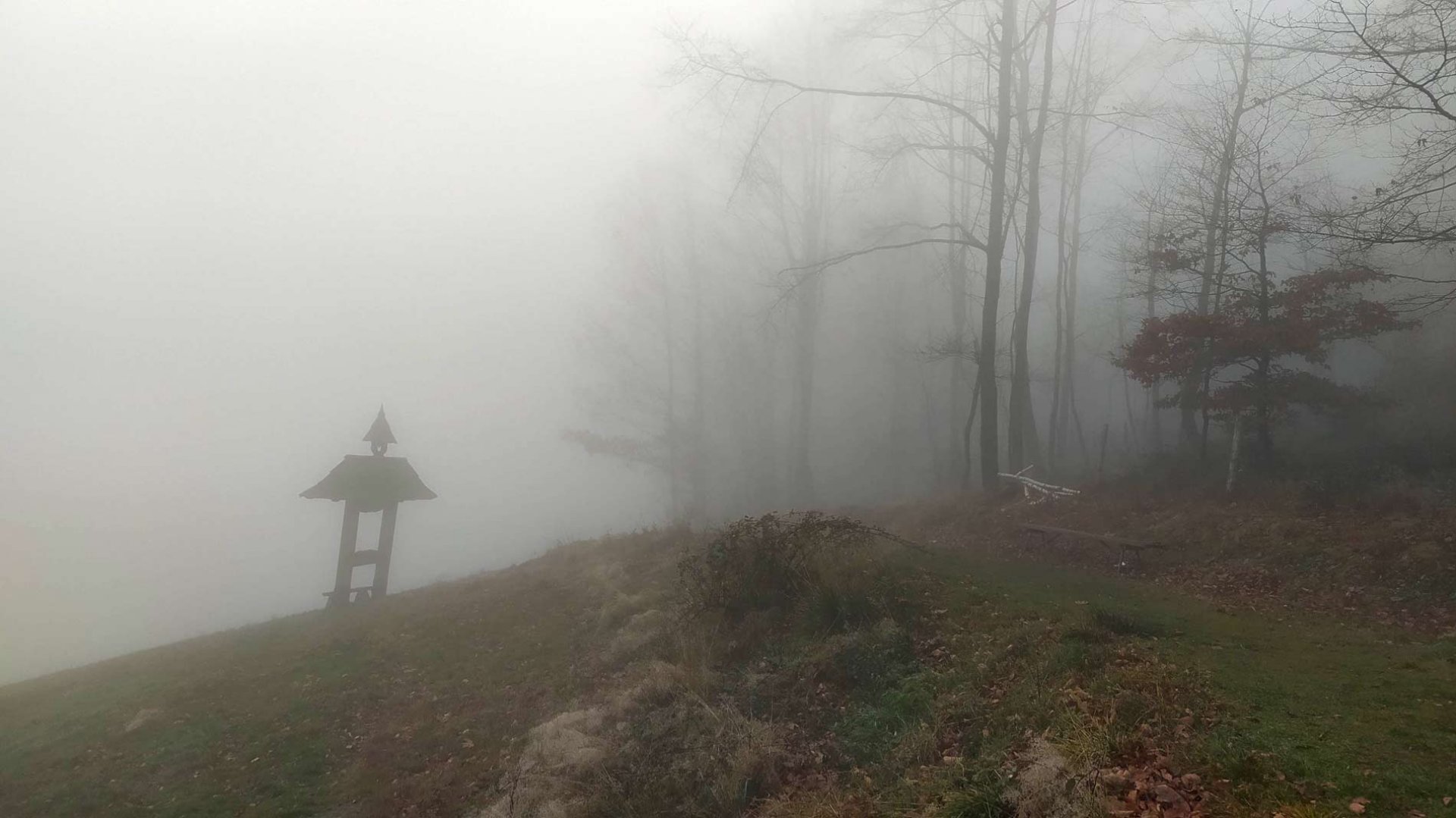
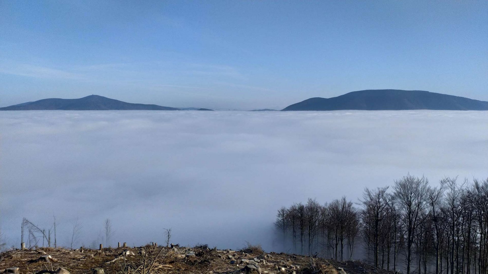
Arriving at the parking lot of the ski resort, I was greeted by thick fog. Which was a good sign and I could hope that the sun would shine on the Ondřejník ridge. Full of energy, I set out to meet the sun. I walked along the asphalt road to the Opálená restaurant. At the restaurant I turned off and started to climb steeply up the slope. Visibility was still about 20 meters. Above the slope I continued upwards on the yellow marker. I passed the rest shelter and continued to climb up the Ondřejník ridge. There are quite a lot of felled trees in these places and overall orientation was worse in the thick fog. Eventually I reached the Skalka saddle. The fog was still not receding, but it seemed lighter. I continued up the ridge steadily and after a few dozen meters I reached it. I came out of the cloud and fantastic views of the Beskydy Mountains and a cloudless sky opened up. After a wide path I reached the top of Skalka.
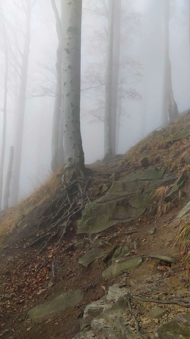
After enjoying the awesome views, I headed back. I chose a slightly different route, following the blue trail. I enjoyed the inversion for a while, but after the paragliding meadow I entered the forest and the fog again. I continued to descend the ridge on the forest trail. Eventually I joined the forest tarmac path, which I followed back to above the ski area. I then followed the ski slope back to my car in the parking lot.
Difficulty
A short, but quite hard trip. The elevation gain is more than 400 meters, so it is good to have at least a little fitness. Technically it is an easy hike. The route follows marked paths or trails. The trail back from the summit is slightly rocky. On the other hand, getting to the top was again a bit of a problem with orientation, as there was thick fog and part of the trail goes between logs. So sometimes I lost not only the sign but also the trail.
Water availability
The tavern is near the Opálená ski slope, and I was pleasantly surprised by the forest bar at the top of Skalka. There were soft and alcoholic drinks. Payment by bank transfer. On the other hand, the well under Skalka was dry. 1.5 litres of water was enough for me.
Mountain peaks
The peak Skalka 964 m above sea level offers great views of the highest peaks of the Beskydy Mountains and the surrounding countryside.
Danger
The route is perfectly safe. There is no trouble spot. Most of the time it is on wide roads or trails.
Food
The restaurant is right at the beginning of the Opálená ski slope. From here on, just take your own supplies.
Photos