Mountain range, region / State
Javorníky / Slovakia
Season
Winter
30. 12. 2022
Difficulty
1 / 5
Elevation
↑ 224 m
↓ 224 m
Length
5.6 km
3 hours
Altitude
max. 1072 m n.m.
min. 924 m n.m.
Tourist map of the Javorníky Mountains
Tips for hikes in the country Slovakia

Trek in Malá Fatra with ascent to Velký Kriváň

Trek to Velký Rozsutec via Jánošík's holes
Winter ascent to Velký Kriváň in Malá Fatra
Easy hiking trip from Kasárne through Velký Javorník and back
Starting point
We start from our accommodation at the Bačkarka cottage in Kasárny. This is already the Slovak part of the Javorníky Mountains. The chalet is right at the bottom of the Kasárna ski slope (Kasárne in Slovak) and is located in the Kysuce Protected Landscape Area.
Description of the hike
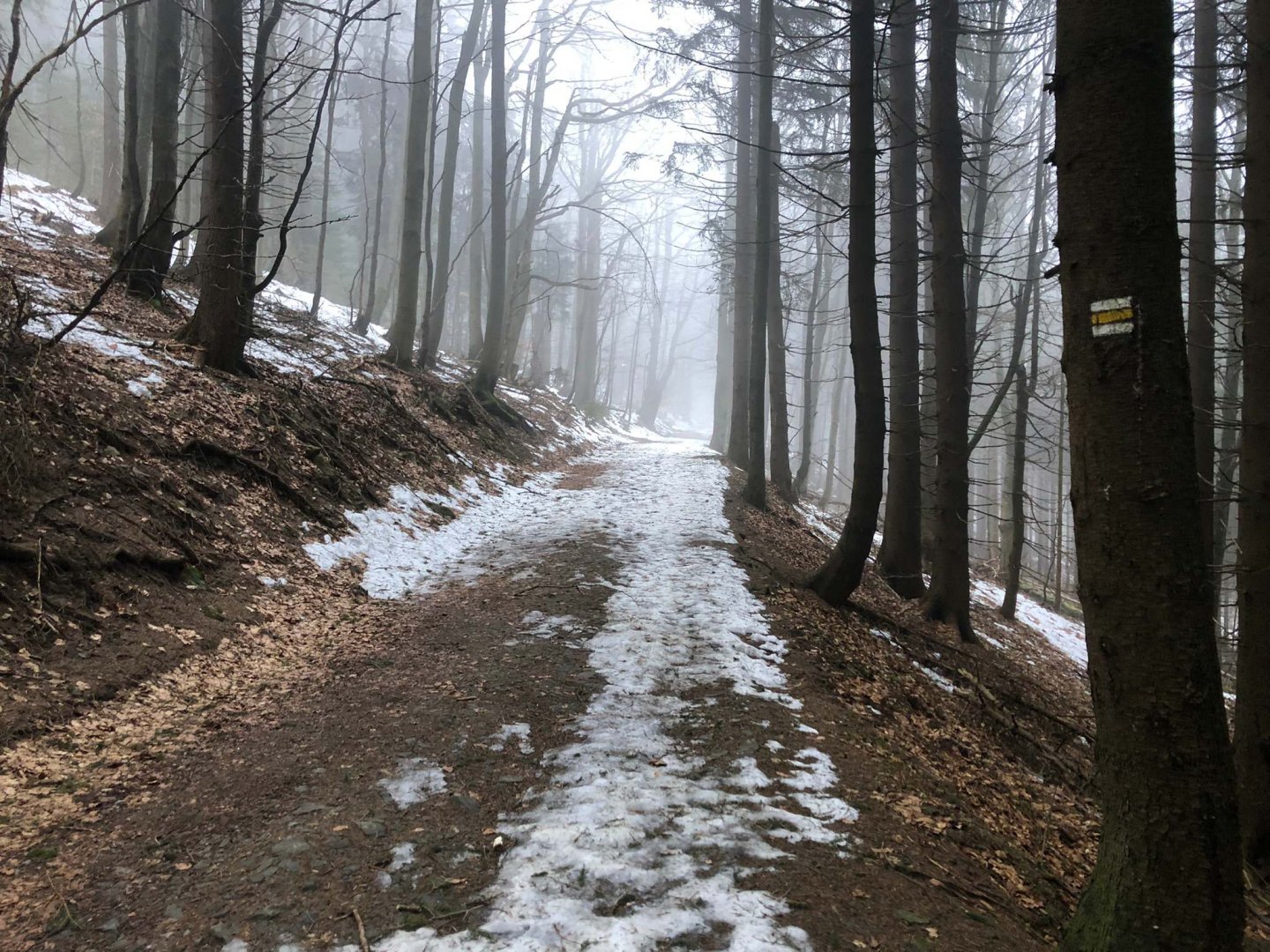
From the Bačkárka hut we go up a steep hill until we come across a yellow tourist sign that traverses the slope. It is a forest path partially covered with snow at the end of December.
Shortly after the slope we meet the Prales well, where you can refresh yourself with fresh water from the spring. The yellow trail actually goes under Velký Javorník - you can shorten the path about halfway up the yellow trail to the Gežov saddle, but keep going.
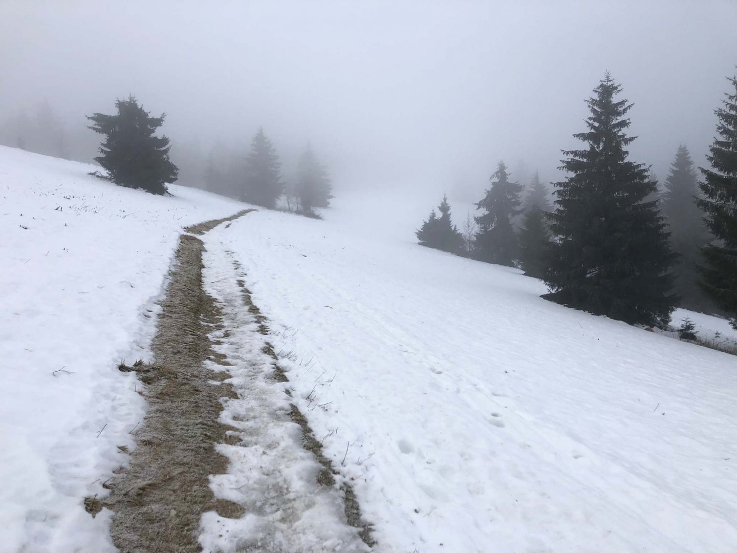
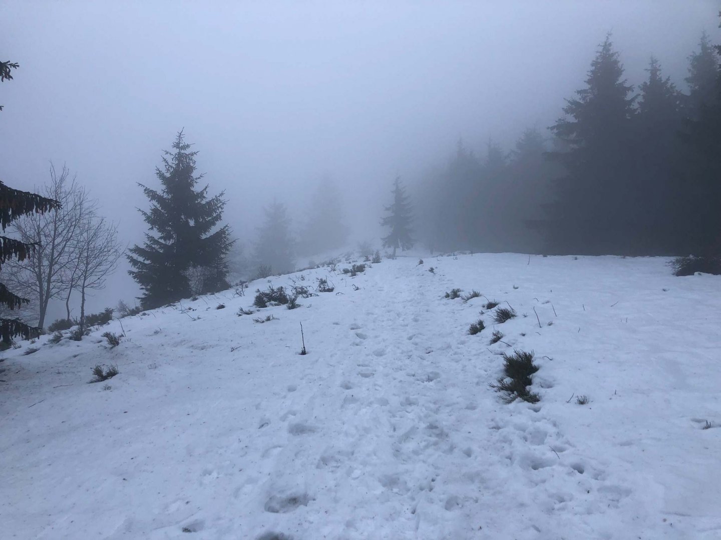
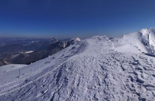
We continue on the yellow loop from the forest to the clearing, where the Gežov saddle is already 1 040 m above sea level, where there is also a small tourist shelter. From the saddle we return in the same direction we came, only a little higher, following the red trail that leads directly to Velký Javorník 1 072 m above sea level, which we reach after about 15 minutes.
On the top of Javorník there is a double-armed cross with two cross-bars. We take the obligatory summit photo and continue along the red trail back to Kasárne. It will take us a little over half an hour from the top along the forest path. In the area of the Barracks we return to the hut along the asphalt road that crosses the area.
Difficulty
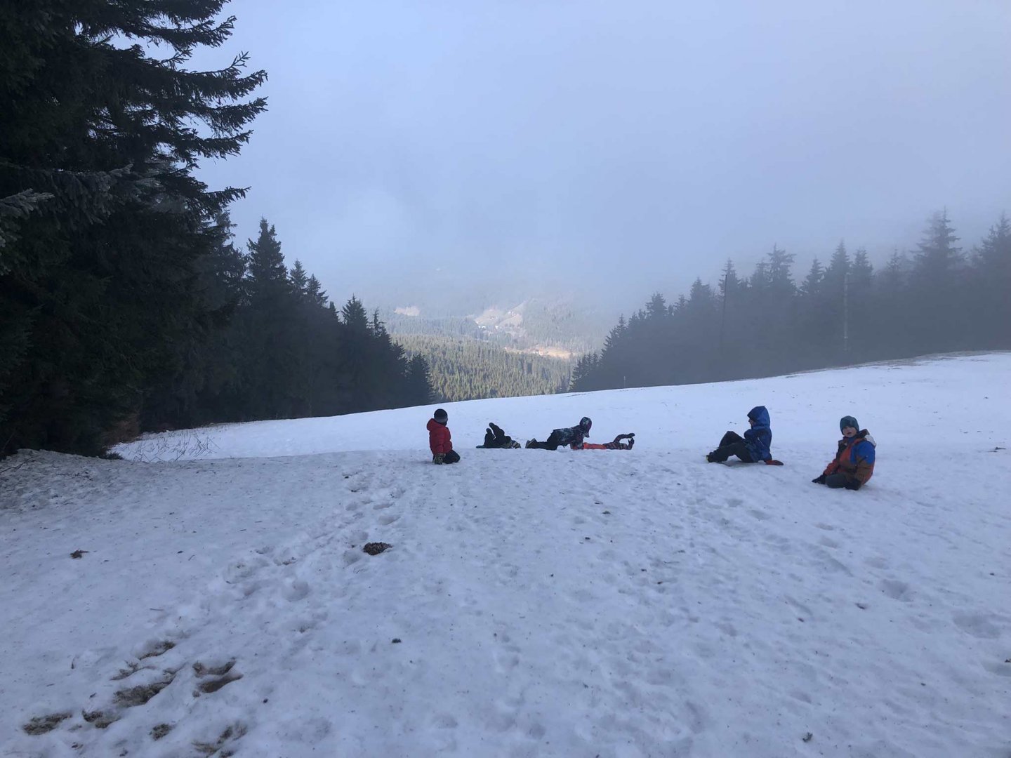
This is a very simple and easy hike in the mountains, which we did with small children aged three to seven. Only the initial passage is a bit steeper, as we walked from the hut directly down part of the slope (about halfway) to the yellow marker. The trail is not suitable for strollers.
Water availability
You don't need to worry about water at all during this trip. It is only 6 km, which everyone can walk without water. Moreover, there are several huts open all year round, including Bačkarka, at the starting and finishing point.
Sleeping options
You can spend the night in the mountain hut Bačkárka directly on the slope. There are many other accommodation options in the area, just choose - Pension Javorník, Mountain Hotel Hájenka.
Mountain peaks
We will climb only one peak on the route, but it is the highest mountain of the Javorníky Mountains, Velký Javorník 1 070 m above sea level. From the top there is a partially limited view of the server, due to the forestation to the east and not much can be seen. Even so, you can see most of the Beskydy hills, including Lysá hora.
Danger
It is a smooth and safe journey. The steepest slope is only on the downhill slope, but even in wet conditions it is easy hiking. All paths are safe even in winter. In the Javorníky Mountains you may encounter a lynx or a wolf, but these are shy animals that are not a natural threat to humans.
Food
Thanks to the fact that the whole trip can be done by fast walking in two hours, slow in three, so there is no need to deal with any hearty food. Just a small snack for the kids.
Photos