Mountain range, region / State
Moravian-Silesian Beskydy / Czech Republic
Season
Spring
18. 05. - 21. 05. 2023
Difficulty
3 / 5
Elevation
↑ 3095 m
↓ 3175 m
Length
74.1 km
4 days
Altitude
max. 1075 m n.m.
min. 423 m n.m.
Tourist map of crossing the Beskydy Mountains on the border with Slovakia
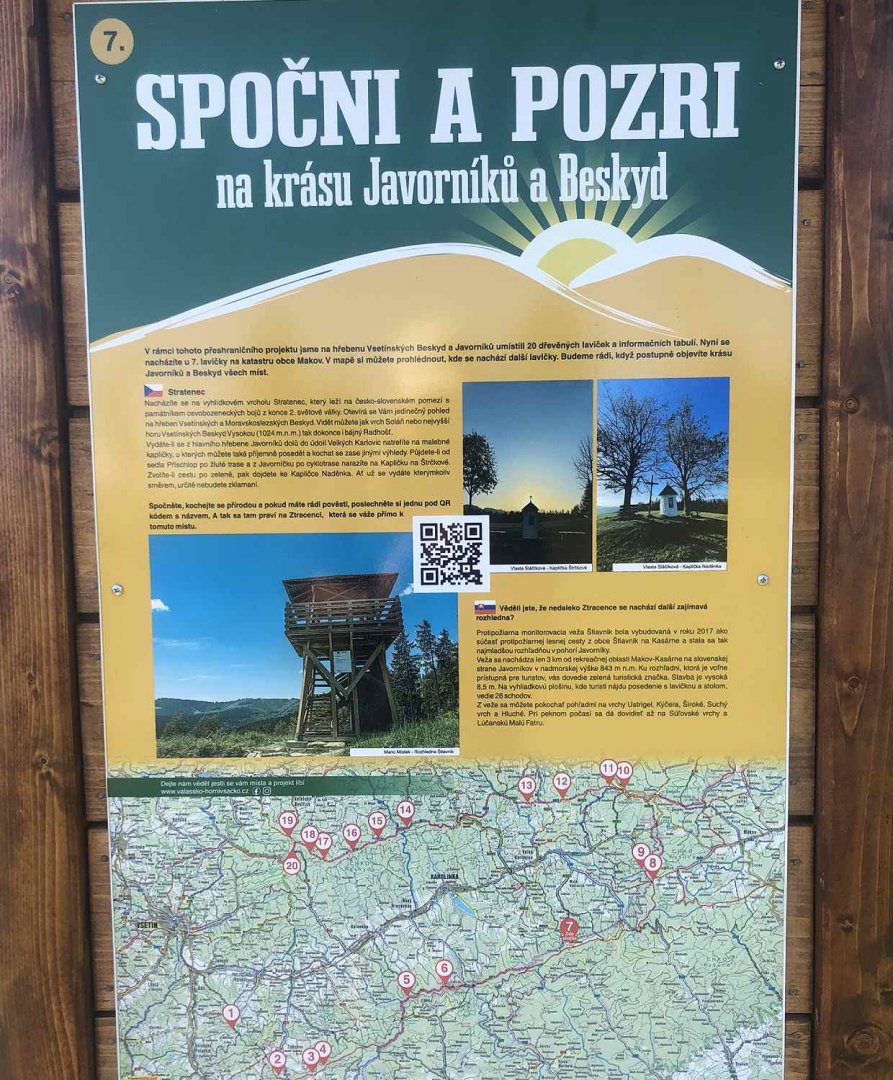
Tips for hikes in the mountain range Moravian-Silesian Beskydy
Trip to Prašivá mountain chalet in the Moravian-Silesian Beskydy Mountains
Sightseeing family trip from Ostravice to Hotel Sluníčko
Family hike from Visalaje to Bílý Kříž and Sulov in Beskydy
Crossing the Beskydy Ridge from Most u Jablunkova to Halenkov
Starting point
I start the trek right after getting off the train in Mosty u Jablunkova. Right from the train station there is a red trail leading to Kyčera and Severka.
Description of the hike
1. day
Date of the day, (Thursday): 2.3 km, 264 m ascent
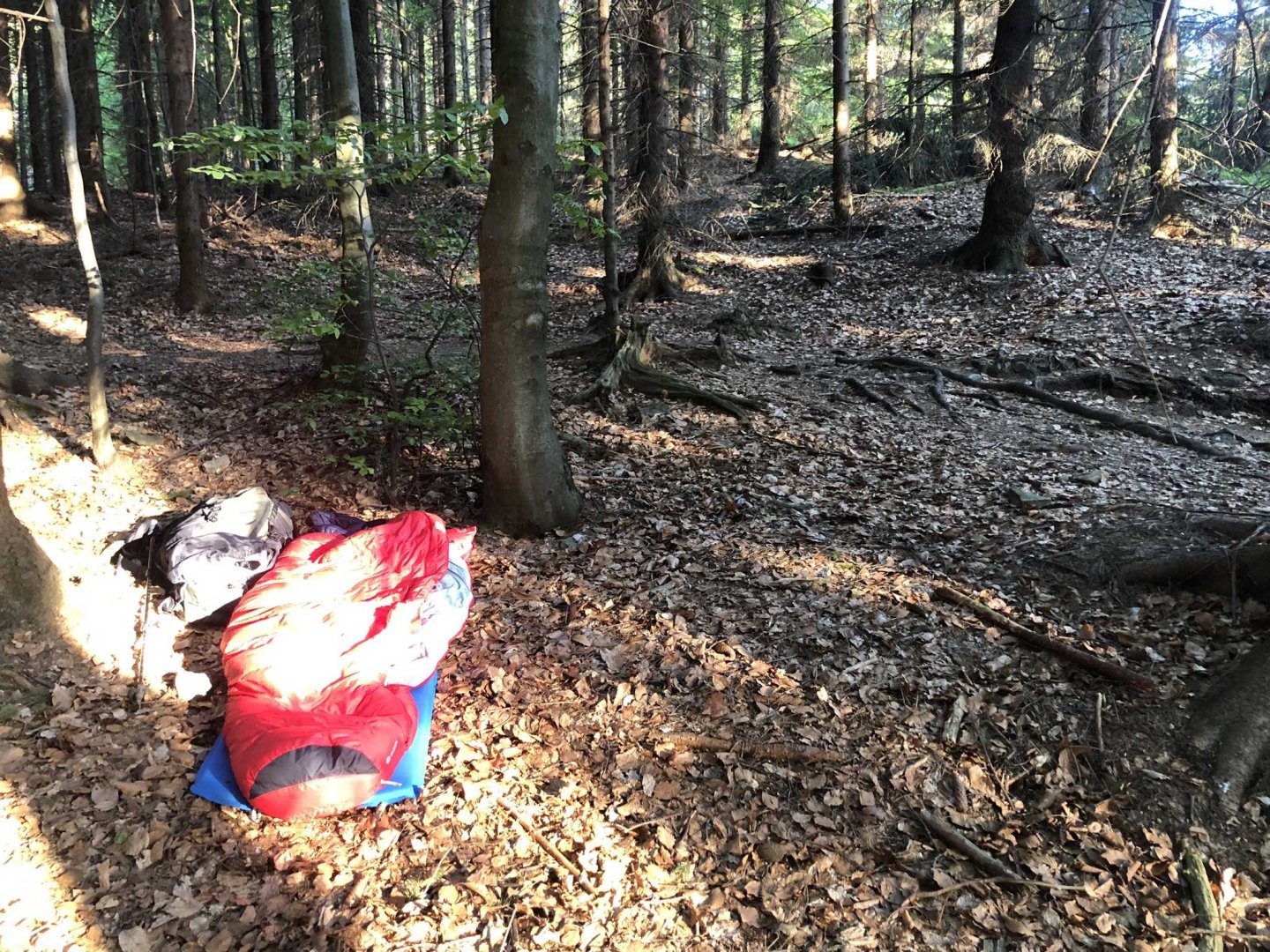
Around 8 o'clock on Thursday evening I arrive by train in Mosty u Jablunkov. Immediately I follow the red marker towards Kyčera and sleep under a tent in the forest near the village of Podlesí.
2. day
Date of the day, (Friday): 33,5 km, 1 247 m elevation gain
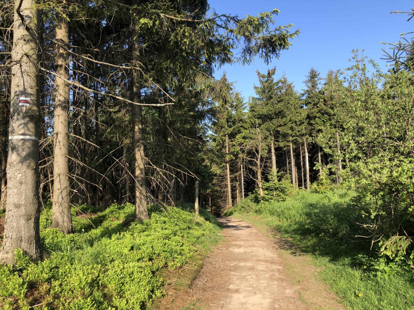
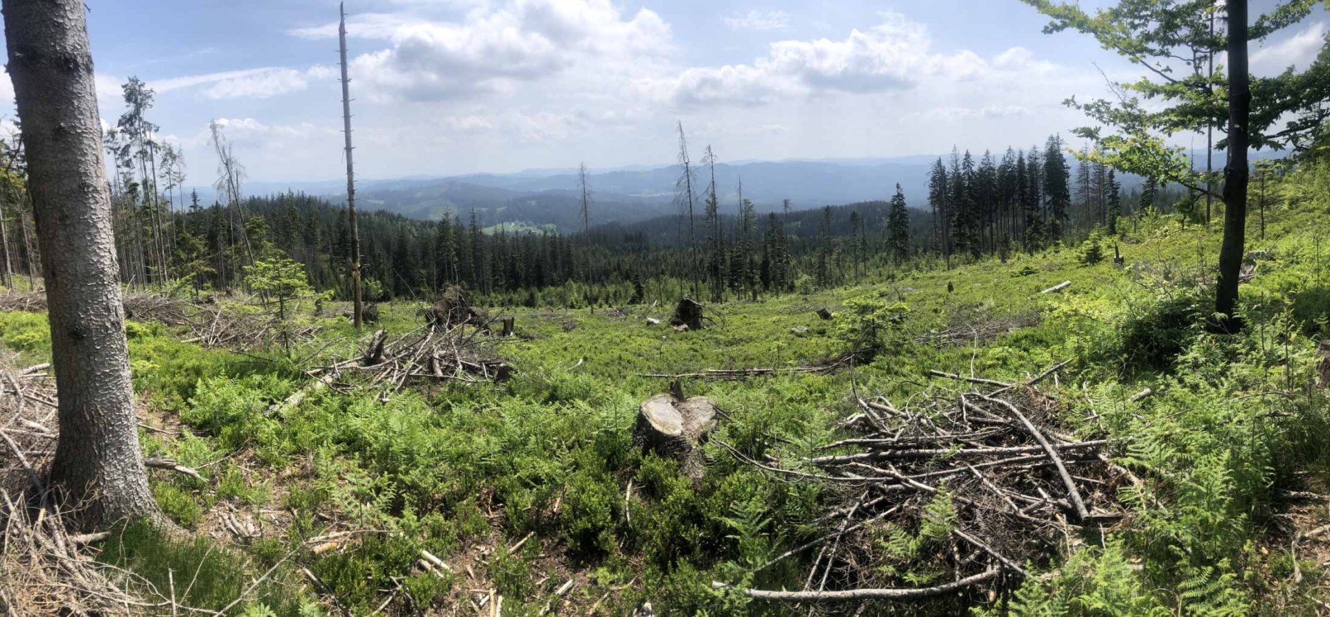
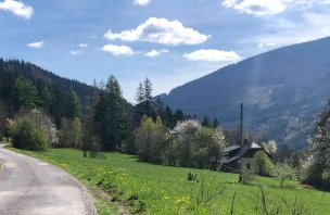
The next day I wake up around 7am, and after a short breakfast I start immediately in the direction of Severka 957 m above sea level. The trail is still following the red hiking trail. In this section (up to Bílý Kříž) I meet very few people. Often you walk along narrow paths where you can see that not many people are walking. Soon I pass the still closed Kamenná hut and continue towards Velký Polom 1 067 m above sea level.
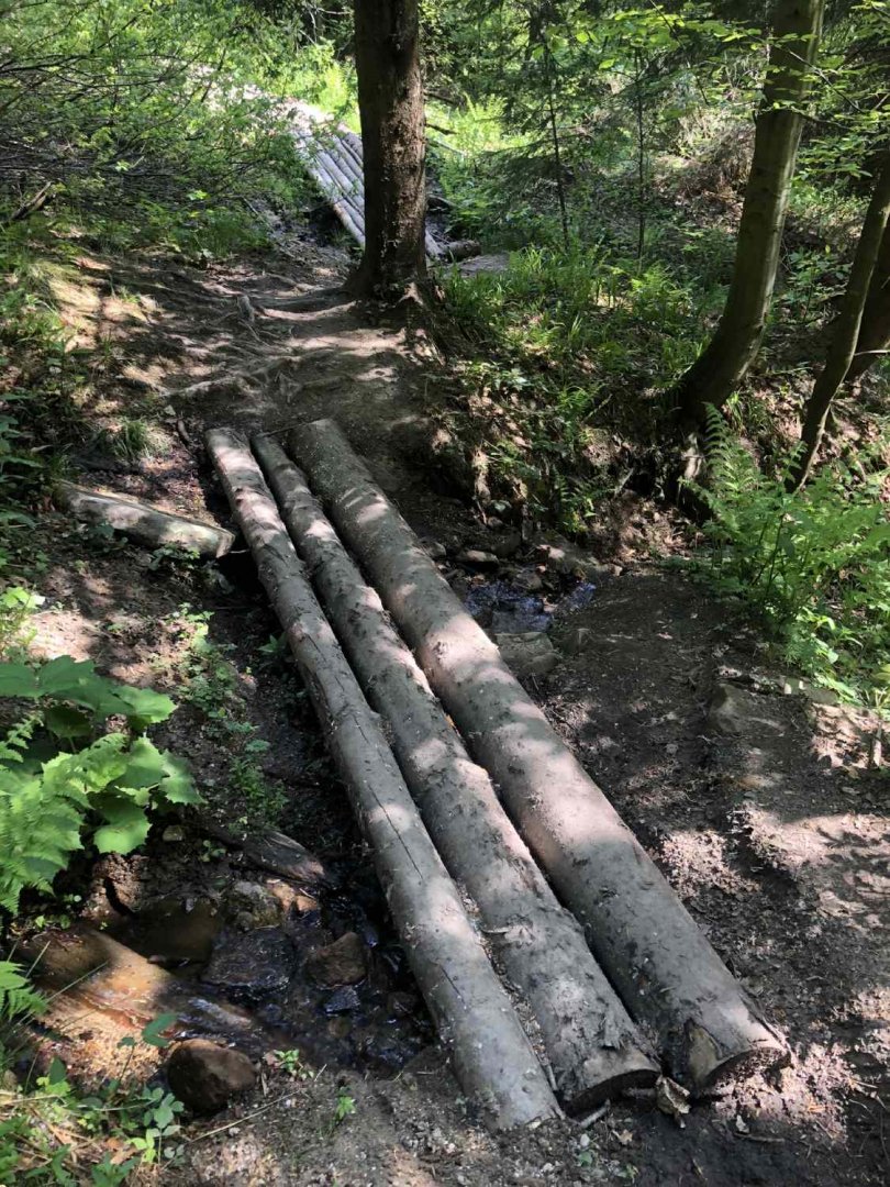
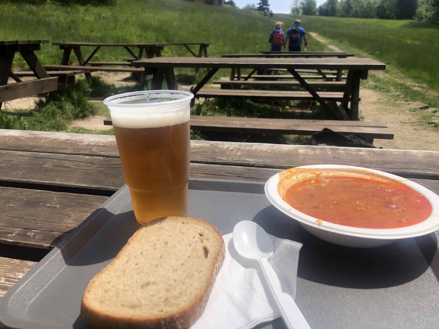
By then the red marker actually follows the state border with Slovakia. The sign then traverses Malý Polom 1 061 without a summit, so those who want to go up must go down from the sign - the views are not great, there are logs everywhere :)). In another half an hour I arrive at Sulov 943 m above sea level and have a well-deserved beer and cabbage soup in the refreshment room at the White Cross. It's a beautiful day, the sun is shining, so after lunch I take a nap in the grass for half an hour.
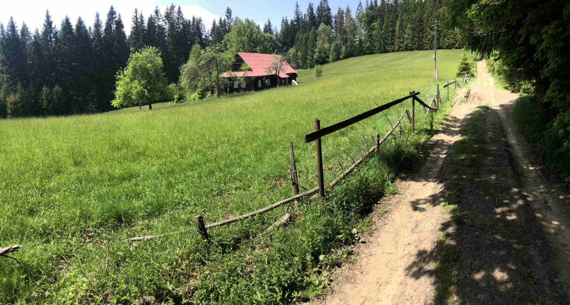
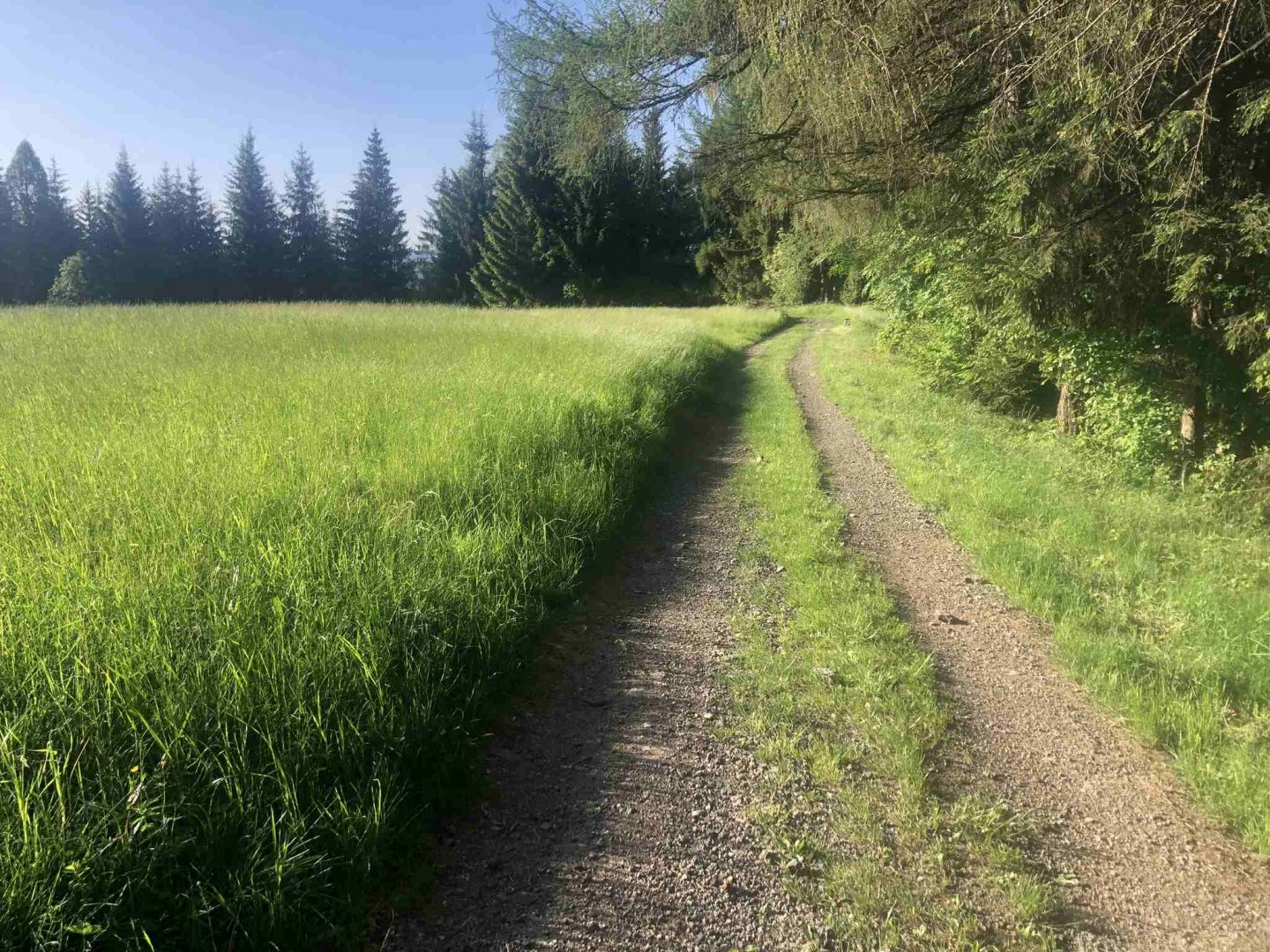
After a rest I throw my backpack with its 14 kg on my back and continue along the red road to the border crossing Bílá / Klokočov. It is a pass where the road No. 484 leads, so I have to descend and then immediately ascend about 200 vertical meters. The stretch from the village of Konečná is very pleasant on the ridge. There are wide forest or dirt paths that lead through the settlements of a few cottages U Škorníka, U Smažáků up to the buffet on Beskyd, which is closed, which bothered me a bit.
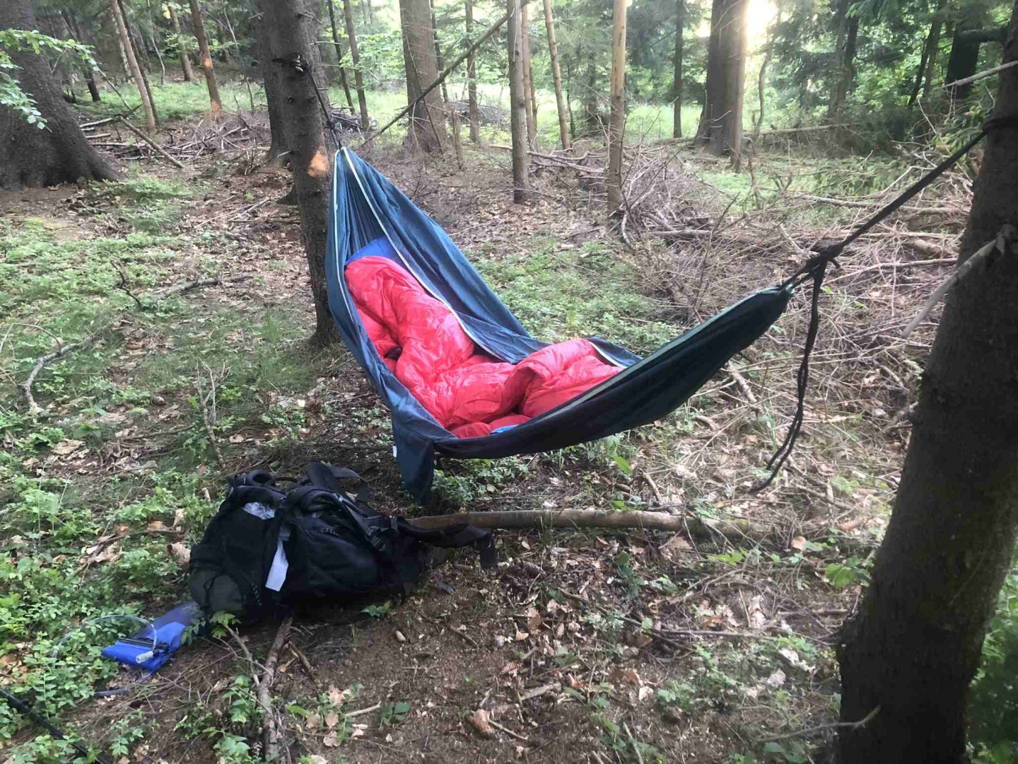
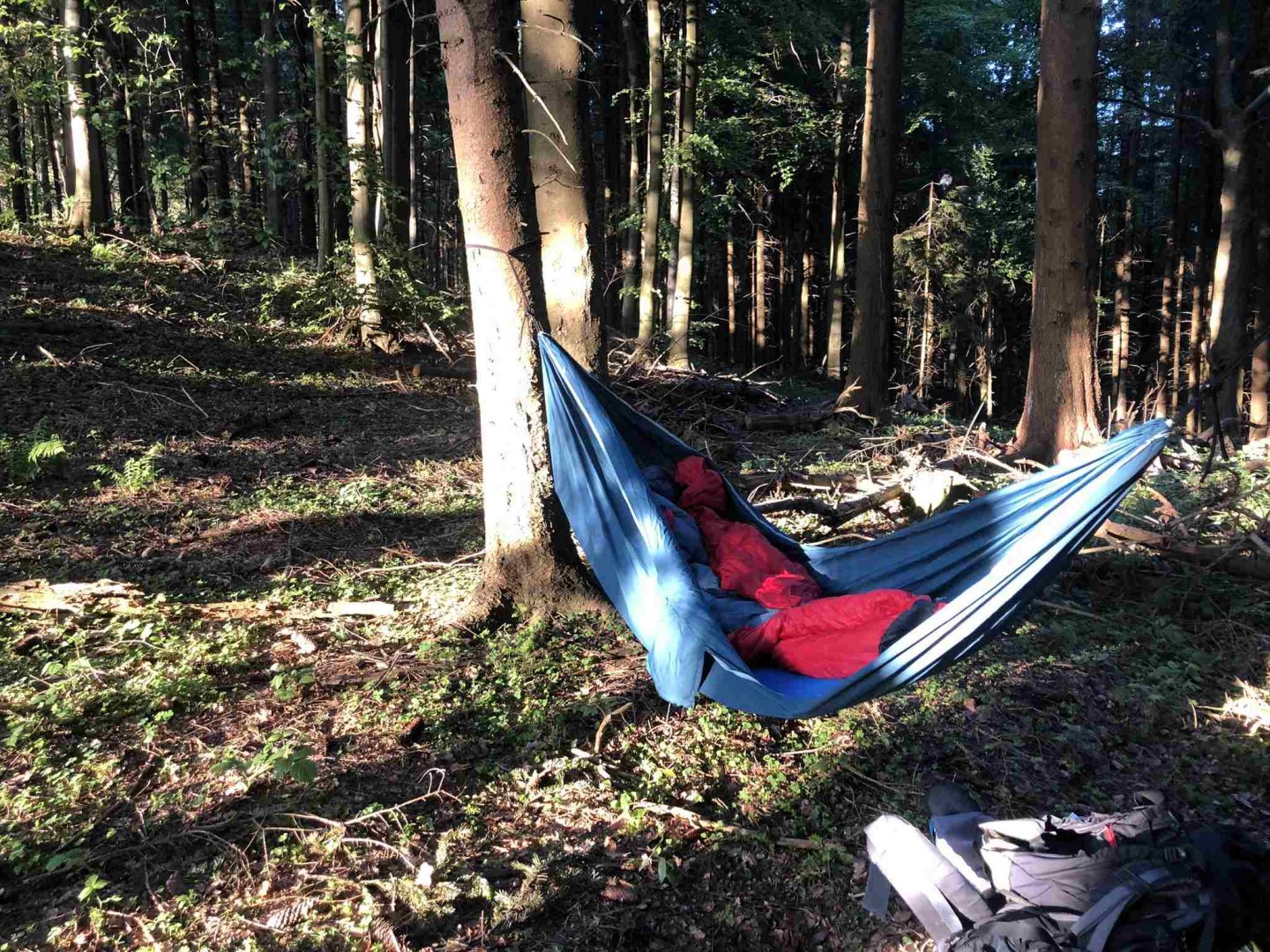
I ate from my own supplies at the viewpoint on Bobek hill 871 m above sea level, where it was blowing nicely. Actually it was already dinner, because it was about 5 pm and I had done more than 30 km on hardly. After Bobek I started looking for a place to sleep, this time I fell asleep while rocking lightly in the hammock.
3. day
Data of the day, (Saturday): 35,5 km, 1 253 m elevation gain
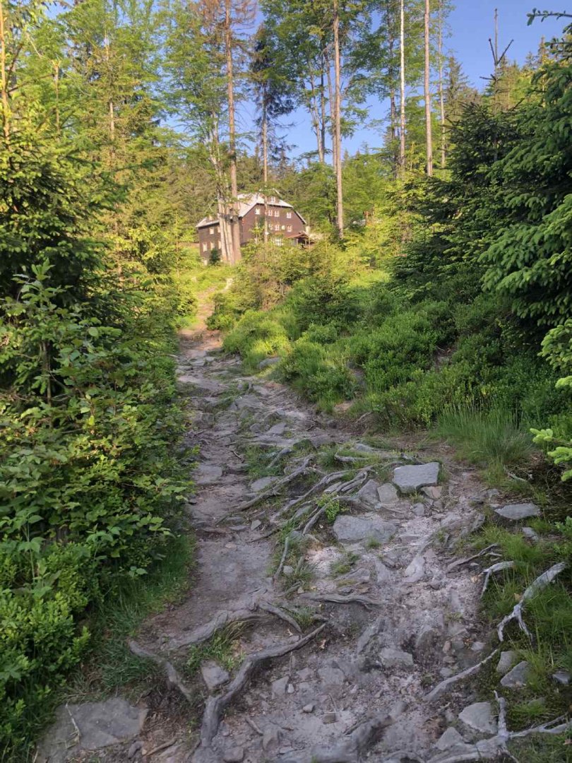
Again I get up quite early around 7 am. I slept almost 10 hours. This time without breakfast, I packed my hammock and set off immediately. The sun was shining beautifully since morning. I had a plan to have breakfast at Masary's hut near Bumbalka. And this plan worked perfectly :) - I arrived at the cottage around 9 am, just as breakfast was finishing there, so I ordered scrambled eggs right away.
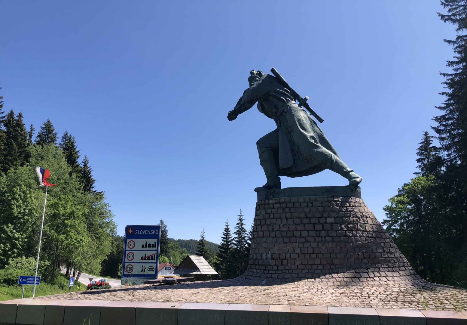
After breakfast I went through Bumbálka to Trojačka 938 m above sea level and from there I took the yellow trail over the source of Vsetínksá Bečva, where there were quite a lot of people, thanks to the fact that it is a short drive from Bumbálka. From the spring I went along the yellow line to Makovské pass, from where I took the red line back to the ridge, this time in the Kysuce Protected Landscape Area.
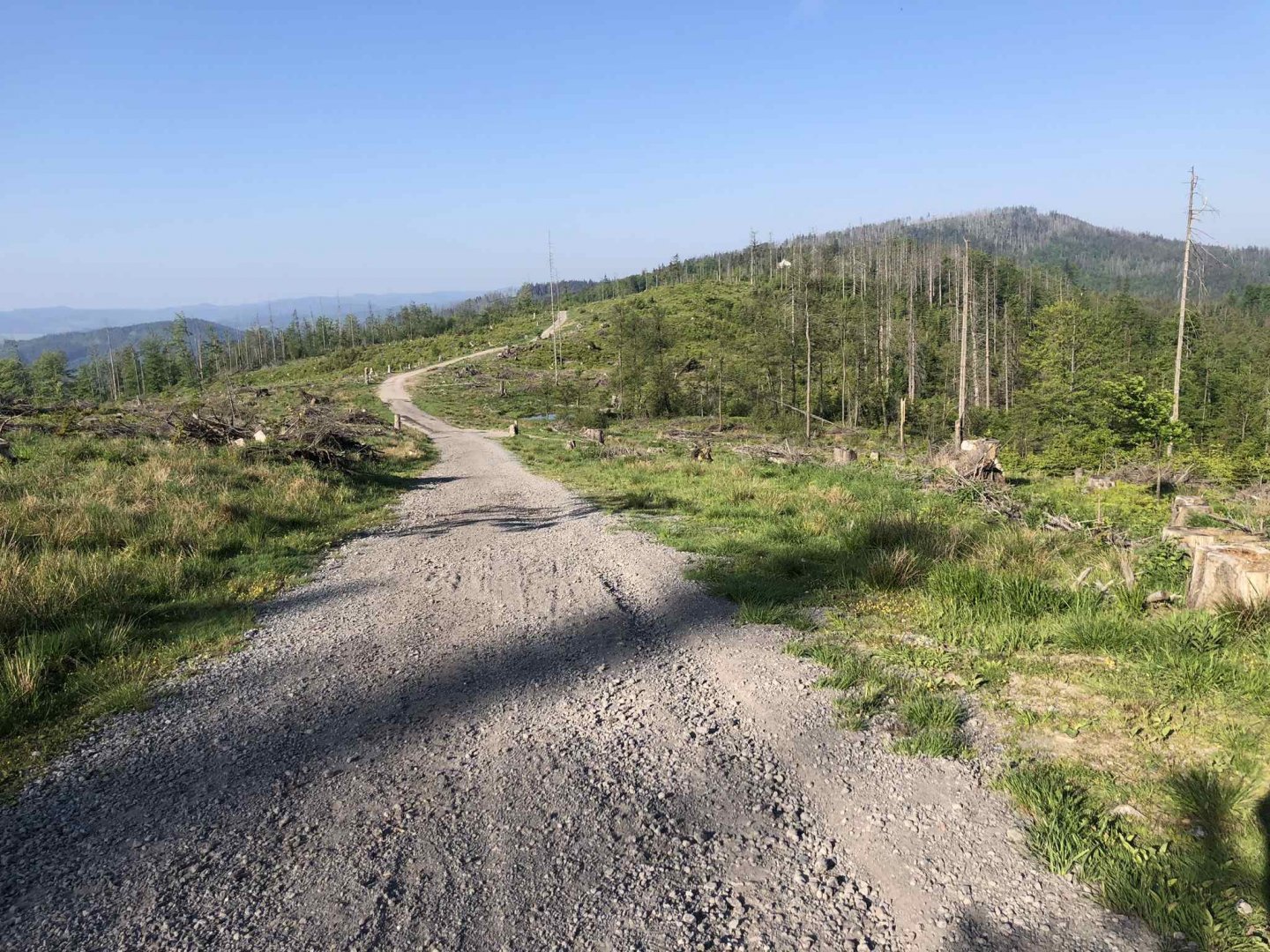
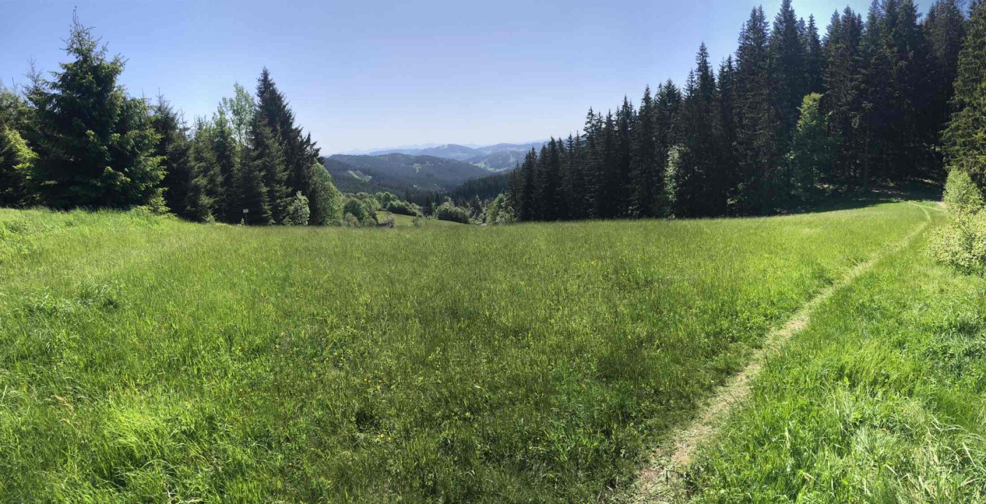
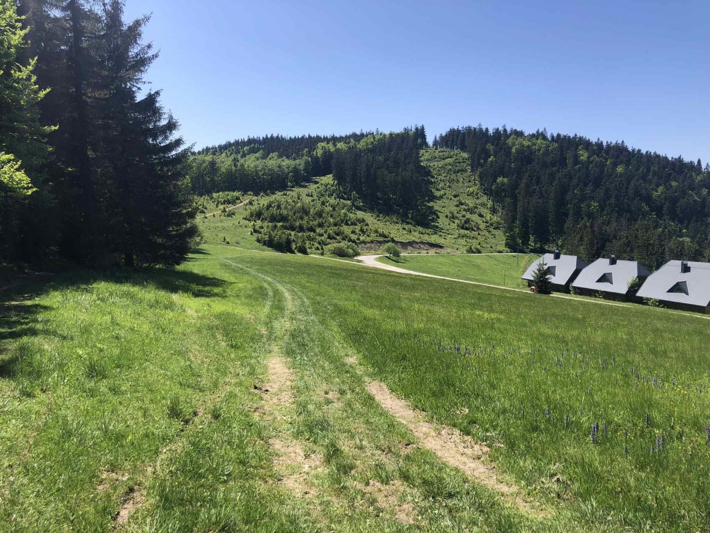
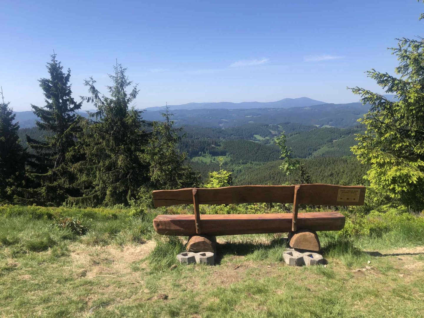
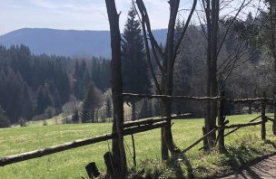
From the Kasárne resort on the Slovak side, where you can refresh yourself, for example, at the Bačkárka cottage, a beautiful section of the ridge hike begins with the peaks Veľký Javorník 1 072 m above sea level and Malý Javorník 1 019 m above sea level - there are beautiful views of the entire Beskydy Mountains, narrow paths that undulate beautifully along the ridge. For this reason, you will often meet many cyclists here in summer, who often use the ridge.
In the afternoon I arrive at the Portáš hut, where after another 30 km or more of hard riding I really need to replenish my energy. Fortunately, they have great beer and food here, so I eat properly and go a little further in search of sleep. I walk up to the Provazná crossroads, where the green sign turns to Halenkov. I find a place for my hammock just a short distance from the crossroads and immediately lie down in it - it's almost 8 pm anyway.
4. day
Date of the day, (Sunday): 7.6 km, 86 m ascent
In the morning I pack up quietly and thanks to the fact that I sleep right at the crossroads with a green sign that leads directly to Halenkov, I have a clear direction and can't go wrong. Descending into the valley is always boring, but at least the sun is shining. In Halenkov I take the train, which has a lockout - so I end up arriving in Vsetín by bus.
Difficulty
It is a moderately difficult trek, especially due to its length - more than 30 km daily with a full field and a daily elevation gain of about 1,200 m. There are no difficult or exposed features on the route. Due to its length on the trek you walk on all possible types of paths (forest and field paths, paved forest paths, asphalt paths...) in various situations dry and wet.
Even school children could manage the route with fewer daily kilometres. For them, however, it is better to realize this trip with sleeping in cottages, which are really many on the ridge of Beskydy and Javorníky on the border with Slovakia. This would eliminate the need to carry your sleeping gear, which is about 2-4 kg extra.
Water availability
I had about 2 liters of water in my bag for each day of hiking. There are several water fountains where you can refill your fluids. However, there are also many hiking huts open in May, and you will find several of them every day where you can refresh yourself.
Sleeping options
The advantage of this Beskydy border crossing with Slovakia is that in the season there are many open huts right on the ridge. So for those who don't want to carry things for sleeping outdoors, there is a possibility to go with a lighter backpack and sleep in the huts = Skalka, Doroťanka, Kmínek, Masarykova chata, Bačkárka, Portáš or Kohútka. The route is therefore also popular with cyclists with Hippo bikes.
Mountain peaks
Thanks to the length of this four-day hike, you can climb a lot of smaller and larger mountain peaks - not all of them have a sign, some of them you have to descend from the red sign for a while, but it is always only a few hundred meters: Severka 957 m above sea level, Velký Polom 1 067 m above sea level, Muřinkový vrch 978 m above sea level, Burkův Vrch 1 032 m above sea level, Malý Polom 1 061 m above sea level, Polomka 984 m above sea level, Sulov 943 m above sea level, Čudácka 827 m above sea level, Bobek 871 m above sea level, Korytovo 881 m above sea level, Lemešná 950 m above sea level, Velký Javorník 1 072 m above sea level, Malý Javorník 1 019 m above sea level, Kohútka 913 m above sea level.
Danger
Even though it is a long and demanding route, it is a safe hike. Although there are bears in the Beskydy area, but there are fewer of them than in Malá Fatra or other Slovak areas - just in case, I brought my bear alarm bell (because I went alone), but it was quite useless.
Only the first two days were longer stretches without people. The next two days there were quite a few people on the ridge. As for dangers in terms of exposed spots, there are none.
Photos