Mountain range, region / State
Bohemian-Moravian Highlands / Czech Republic
Season
Winter
10. 03. 2024
Difficulty
1 / 5
Elevation
↑ 178 m
↓ 178 m
Length
5.0 km
2 hours
Altitude
max. 737 m n.m.
min. 597 m n.m.
Tips for hikes in the mountain range Bohemian-Moravian Highlands

Family trip to the rock town of Toulovcovy Maštale

A trip from Borová to Lucký vrch in the Highlands

A trip with views to Pernštejn Castle in the Highlands
Trip from Javurk to the rock Prosíčka near Jimramov
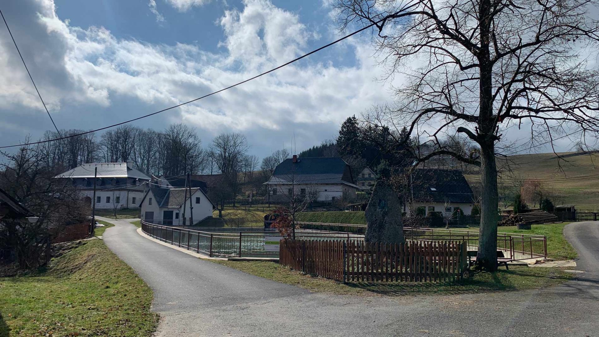
Starting point
A small parking lot in the village of Javorek. The parking lot is free of charge and there is a hiking trail leading from it.
Description of the hike
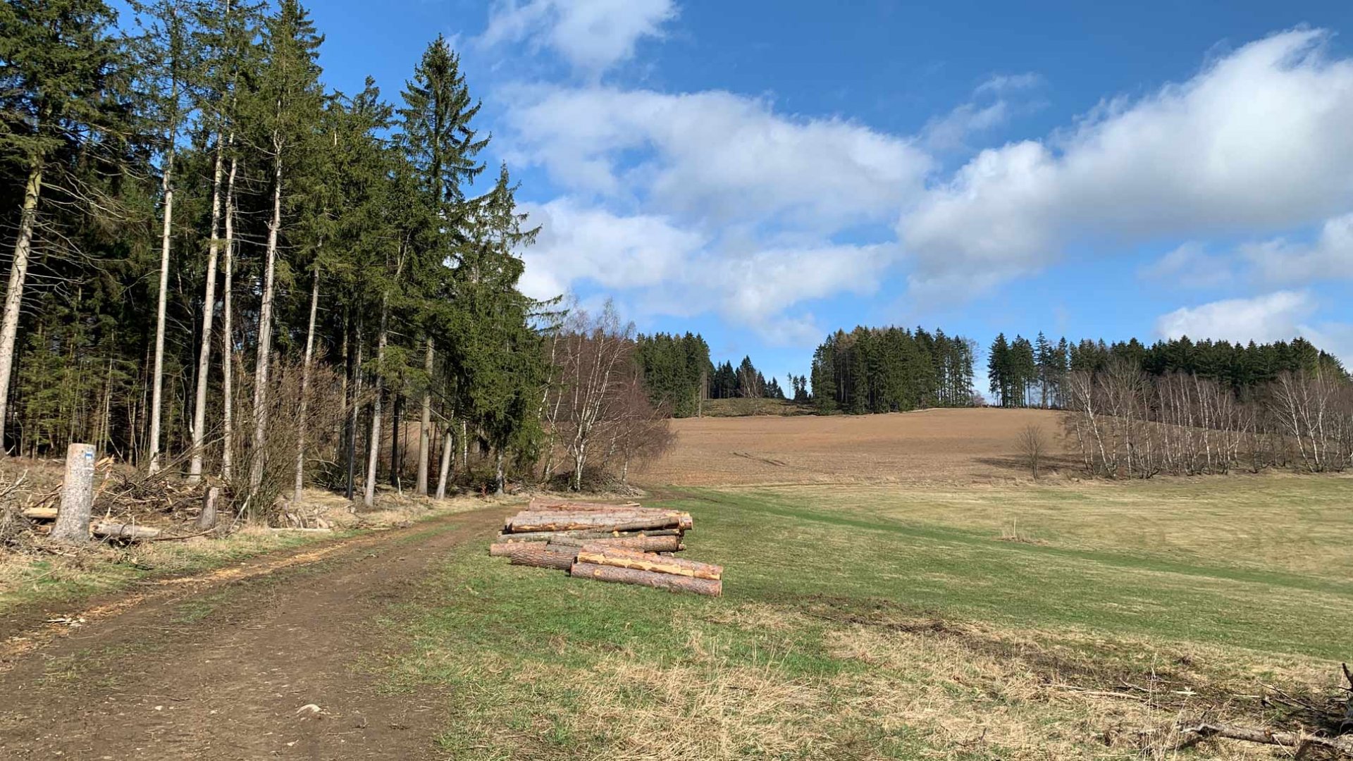
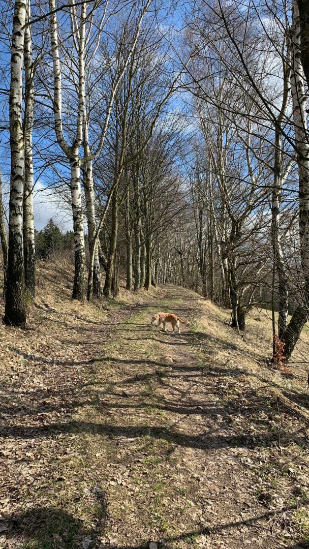
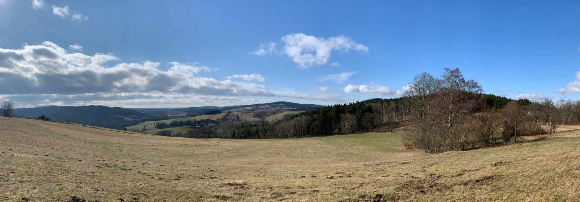
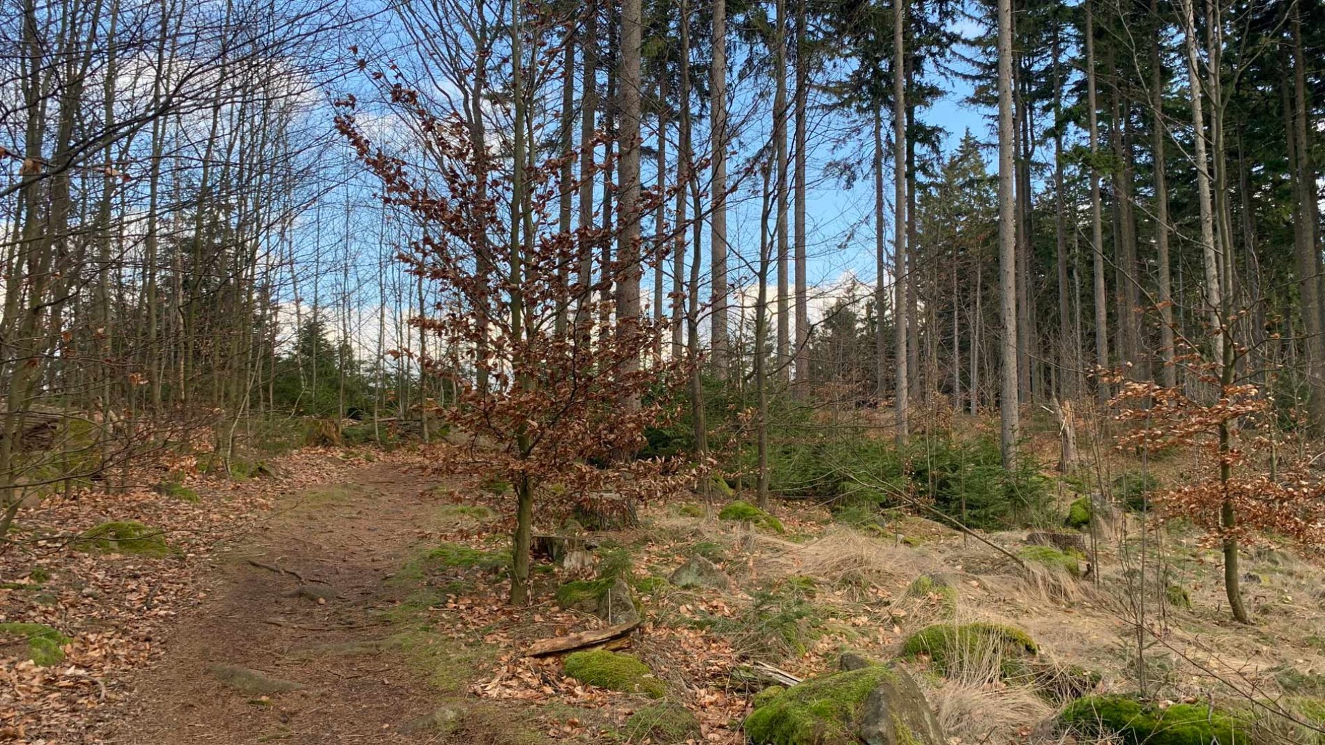
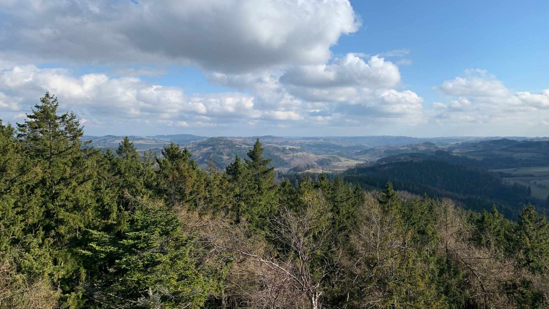
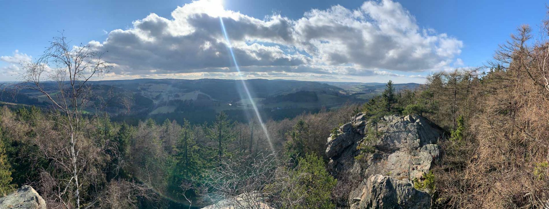
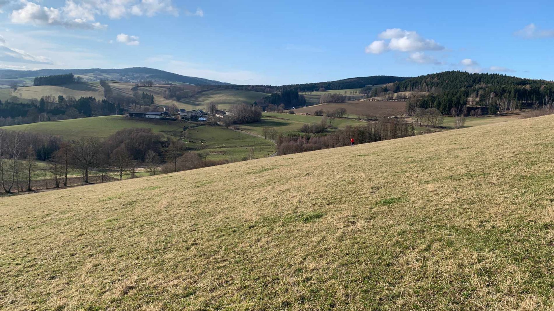
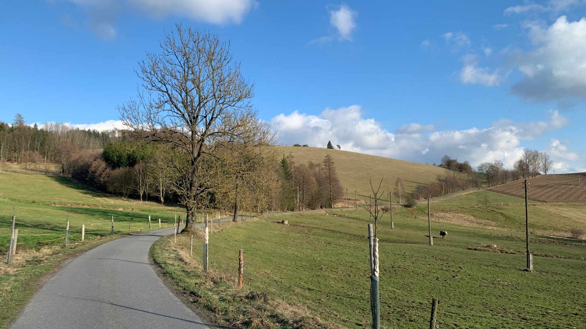
From the village of Javorek we set off along the blue hiking trail. Soon we left the village and climbed up a wide dirt road above it. Immediately we were offered beautiful views of the surrounding countryside. It is more hilly in these parts of the Highlands and the views are so great. After a wide path we reached the secluded village of Doly. We were sorry to enter the forest and leave the views, so we left the marked path for a while and continued along the edge of the field. The views were great. Eventually we entered the forest and soon rejoined the blue trail. We continued along the wide path. It still climbed slightly, but only slightly, so it was good going. Eventually we came to the rock of Prosíčka.
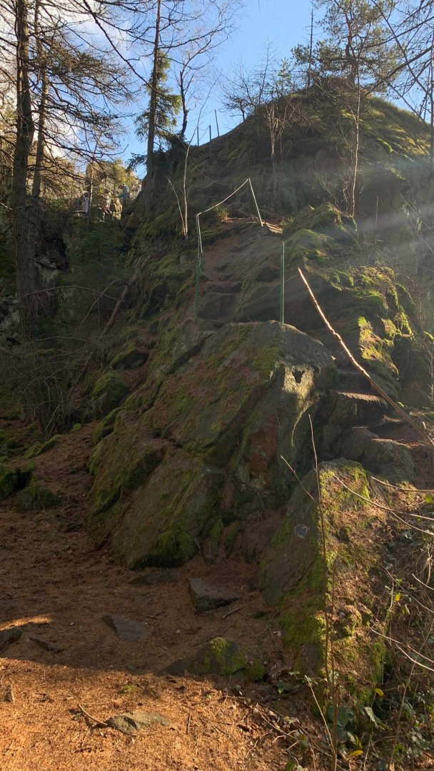
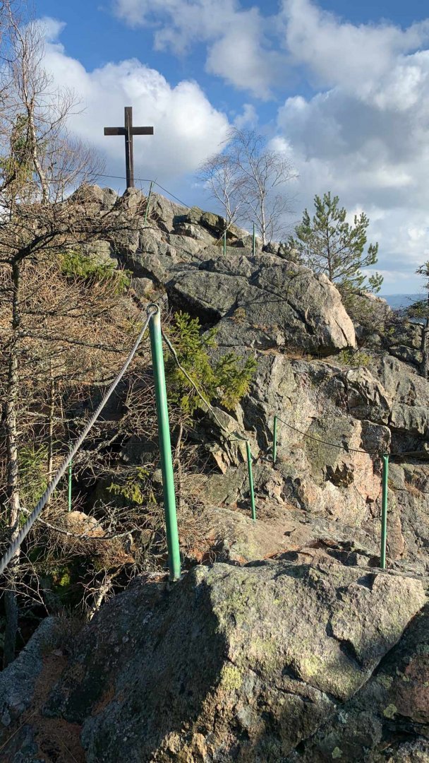
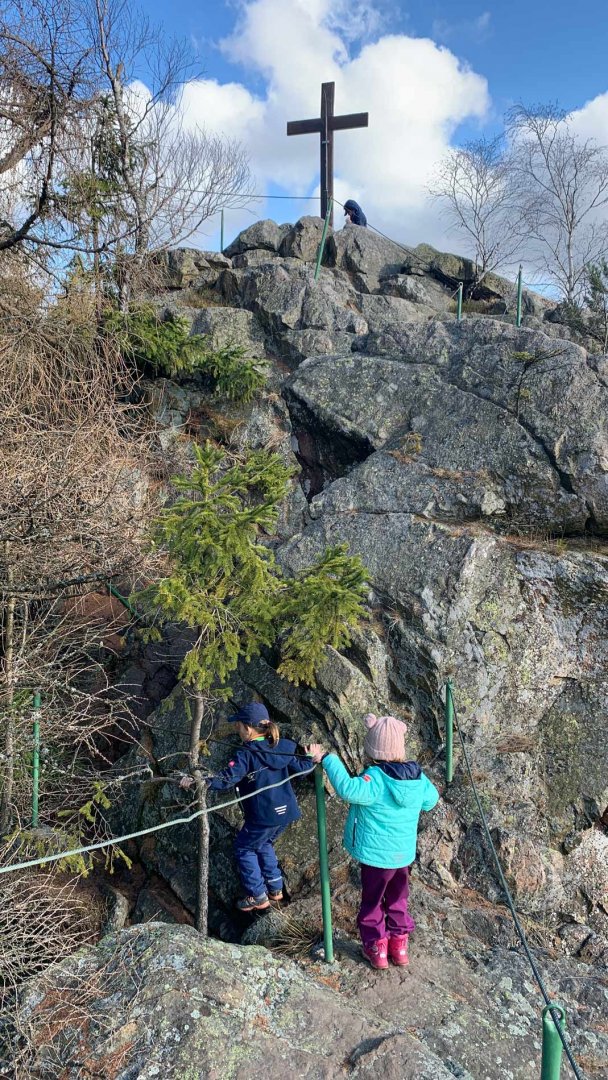
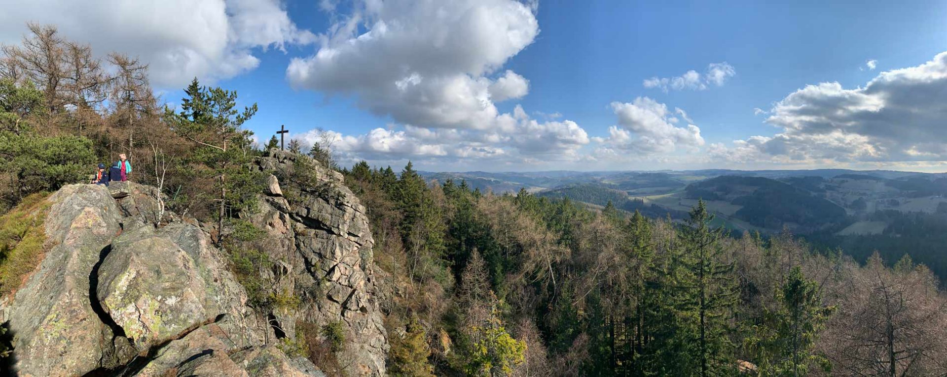
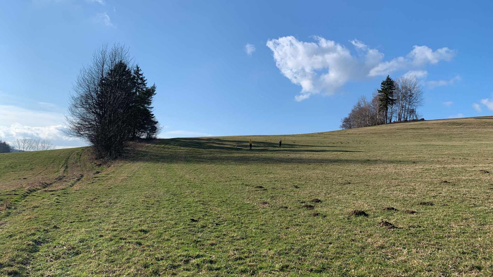
The steep to the viewpoint is more difficult. However, it is secured from the beginning by a railing. Even so, you have to be careful, the rock is quite narrow. The views from the summit cross are beautiful. We were also lucky to have great weather. We stayed on the rock ridge for a while. Eventually we returned to the base of the rock. We went back the same way. Soon, however, we turned left and began a steep descent down a forest path. Here there was no longer a hiking sign. The path led us to beautiful meadows, which we followed back to Javurk. At the end we descended steeply onto a narrow asphalt road and followed it back to the car.
Difficulty
An easy hike in a hilly landscape. The whole time you walk along wide forest or dirt paths. There is not much elevation gain on the route. Only the ascent to the rock of Prošíčka is more difficult. It is led in rocky terrain, it is necessary to use your hands. The route can be easily managed by children and less trained hikers.
Water availability
We didn't come across any water source on the route, we had our own supplies. At least 1 litre per person.
Mountain peaks
From the rock Prosíčka there are nice views to the south, east and west.
Danger
The way to the rock Prosíčka is very simple and easy. The ascent to the summit cross is not so easy. You walk along the rock. There is a handrail for a more secure step. The rock is quite high - about 17 metres. It is also necessary to use your hands to walk on the rock.
Food
The pub is in the village of Javorek. We had a small snack for the trip.
Photos