Mountains High Tauern
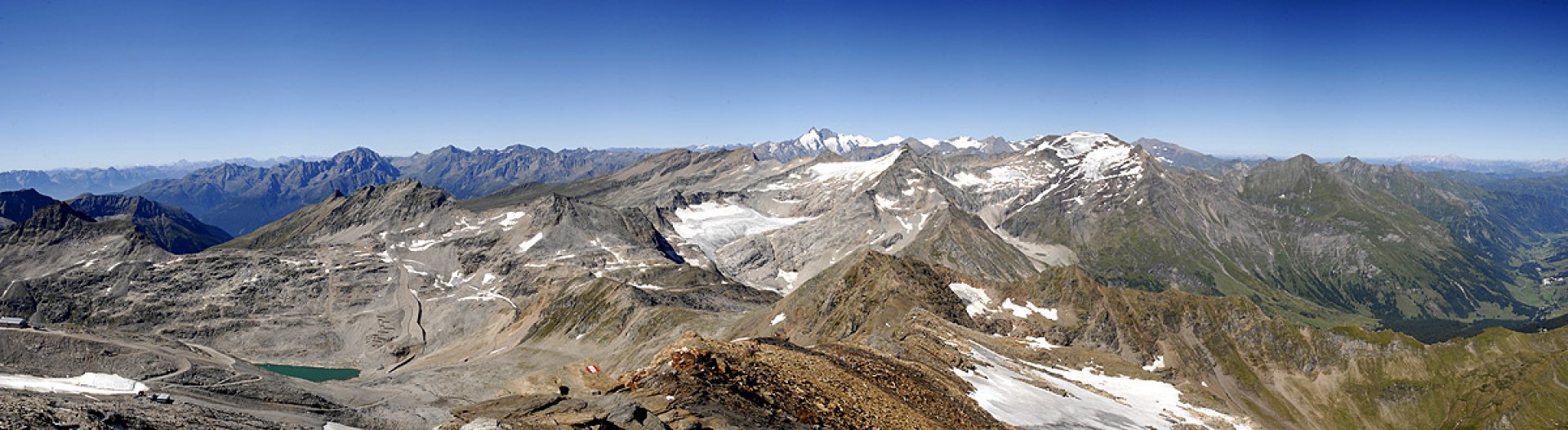
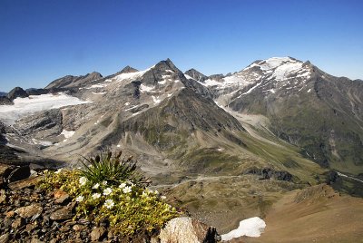
The High Tauern (Hohe Tauern in German) are the longest mountain system in Austria with a length of 200 km. They are situated on the borders of the federal states of Carinthia, Tyrol and Salzburg. Due to their massiveness, they are divided into several groups. The easternmost part of the Ankogel Group is connected to the Low Tatras. The highest peak is the Hochalmspitze 3 360 m above sea level.
The Goldberg Gruppe follows this group with the highest peak Hocharn 3 254 m above sea level. The Sonnblick 3 105 m above sea level with its meteorological station is particularly well known. This group is followed by the Glockner Gruppe with the highest peak in the whole of Austria, Grossglockner 3 798 m above sea level, and the Granatspitzen, whose highest peak is Grosser Muntanitz 3 232 m above sea level.
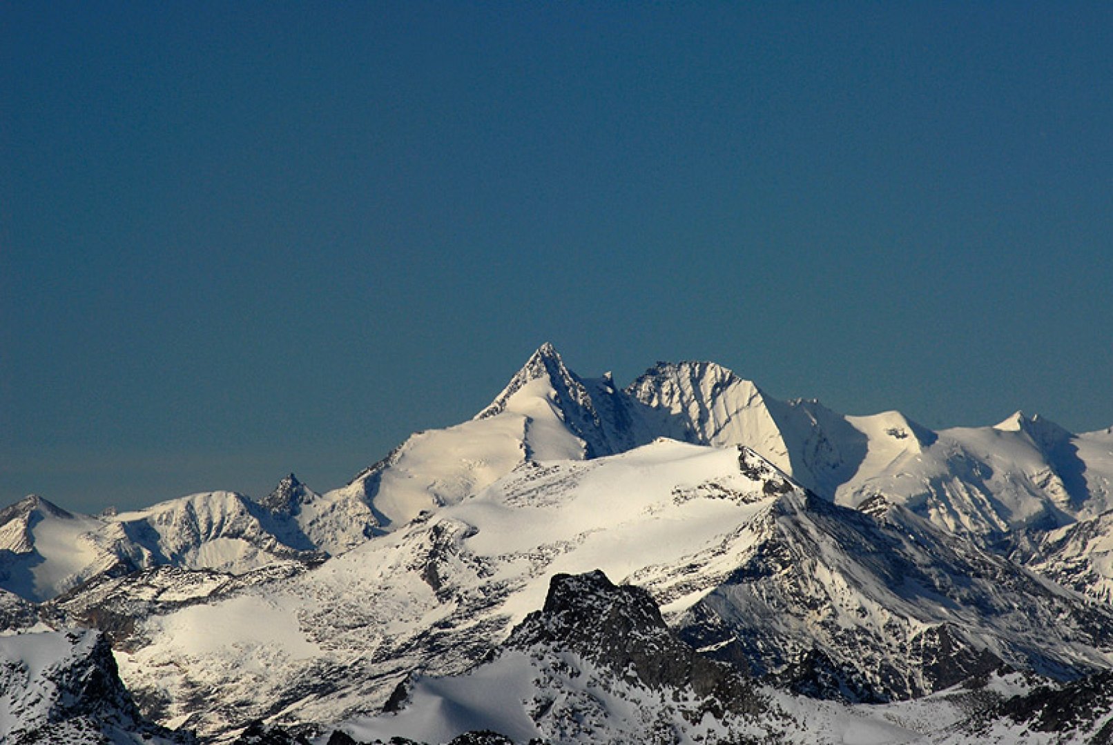
The highest mountain
Grossglockner 3 798 m above see level
List of major mountain peaks
Grossvenedirger 3 666 m above see level, Grosses Wiesbachhorn 3 564 m above see level, Hochalmspitze 3 360 m above see level, Ankogel 3 246 m above see level, Sonnblick 3 108 m above see level.
High Tauern is divided
Ankogel Gruppe; Goldberg Gruppe; Glockner Gruppe; Granatspitze Gruppe; Kreuzeck Gruppe; Rieserferner Gruppe; Schober Gruppe; Venediger Gruppe; Villgraten Gruppe
Protected areas
High Tauern National Park
More information
It's part of the system: Central Crystalline Alps
It is in the countries: Austria
Prevalent rocks: granite; schist