Mountain range, region / State
Dachstein / Austria
Season
Summer
08. 07. 2021
Difficulty
C
Elevation
↑ 1490 m
↓ 1489 m
Length
13.6 km
9 hours
Altitude
max. 2050 m n.m.
min. 925 m n.m.
Tips for hikes in the mountain range Dachstein
Trek through the lunar landscape of the eastern Dachstein
Trek across the Kufstein and Kleiner Miesberg mountains near Dachstein
Easy climbing the mountain of Stoderzinken in Austria Alps
Circuit trek with klettersteig to the top of Großer Donnerkogel
Starting point
Vorderer Gosausee car park. A road leads to the car park from the town of Gosau, which lies to the north-west of the Dachstein massif.
Description of the hike
Difficulty
Moderate difficulty. Total elevation gain approx. 1 500 m. Hour-long ascent through forest serpentines, wandering due to reconstruction (see text). Ferrata climbing with set required, via an attractive ladder to the top. Circular steep descent without belay.
Water availability
The usual 1.5 litres and topping up at the Stuhlalm hut. There is no spring or well on the way.
Sleeping options
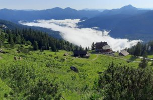
Accommodation is available at the Gablonzer Hütte, which is located at the top station of the cable car.
Mountain peaks
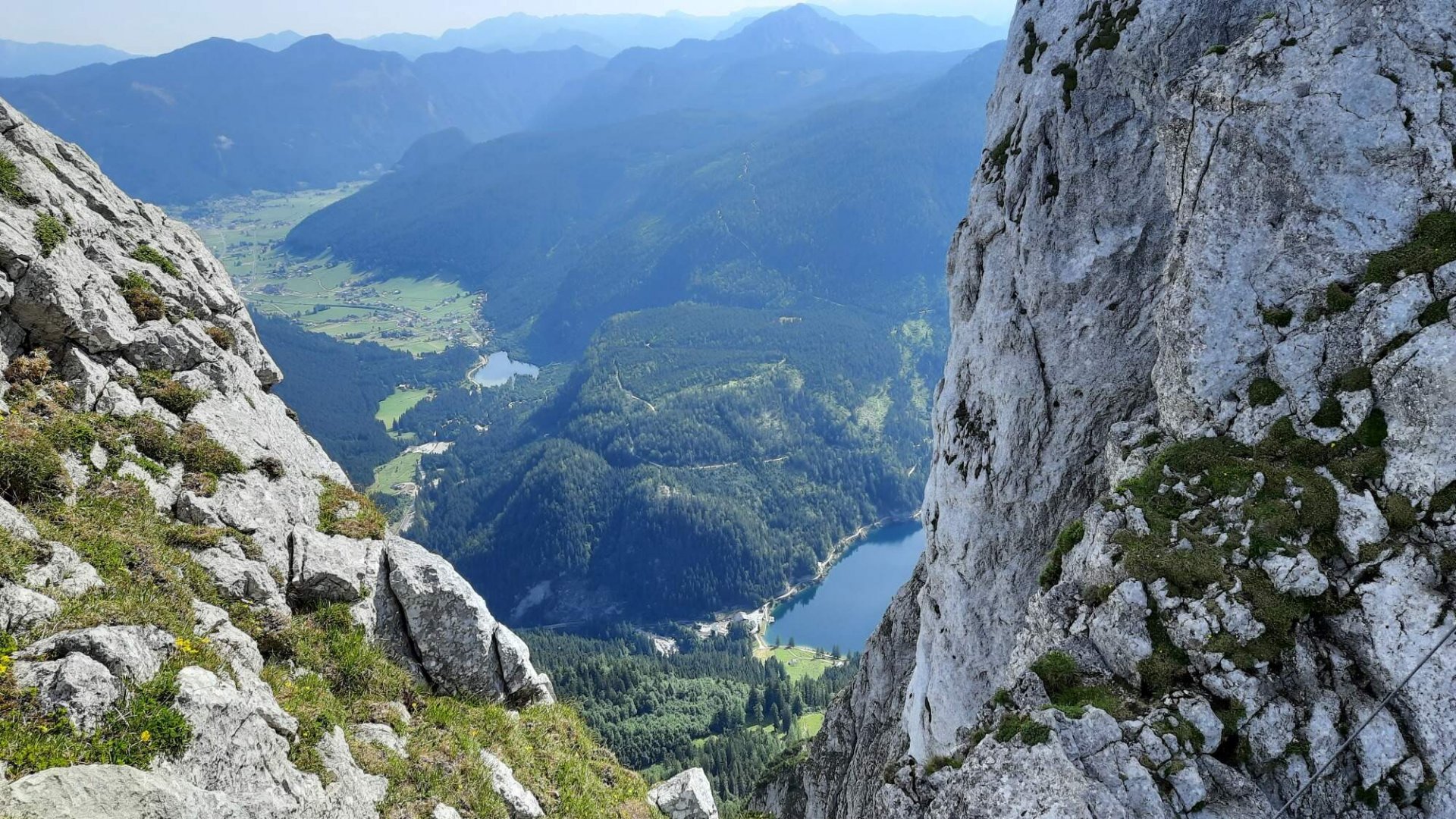
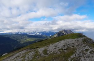
The route passes the Grosser Donnerkogel 2,050 m above sea level and the Steinriesenkogel 2,008 m above sea level. The views are great e.g. on Dachstein, Tennengebirge or Hochkönig.
Danger
Cows are probably the biggest problem in the lower parts...there have been several cases where they have attacked and injured tourists. The klettersteig itself completes the C/D difficulty. Necessary equipment for via ferrata. The descent without belay is quite steep, you have to use your hands.
Food
Bars, snacks at the huts along the way.
Attractions
The klettersteig includes a unique 40-metre long hanging ladder. The ascent is thus proportional to the air.