Mountain range, region / State
Schladming Tauern / Austria
Season
Summer
26. 08. 2023
Difficulty
3 / 5
Elevation
↑ 1497 m
↓ 1496 m
Length
18.3 km
8 hours
Altitude
max. 2526 m n.m.
min. 1147 m n.m.
Tips for hikes in the mountain range Schladming Tauern
Four-day trek in the Schladming Tauern region around the Hochgolling mountain
Hike around Hochgolling in the Schladming Tauern
Circular trek in the Schladming Tauern
Trek around the mountains and lakes in the south-western part of the Schladming Tauern
Starting point
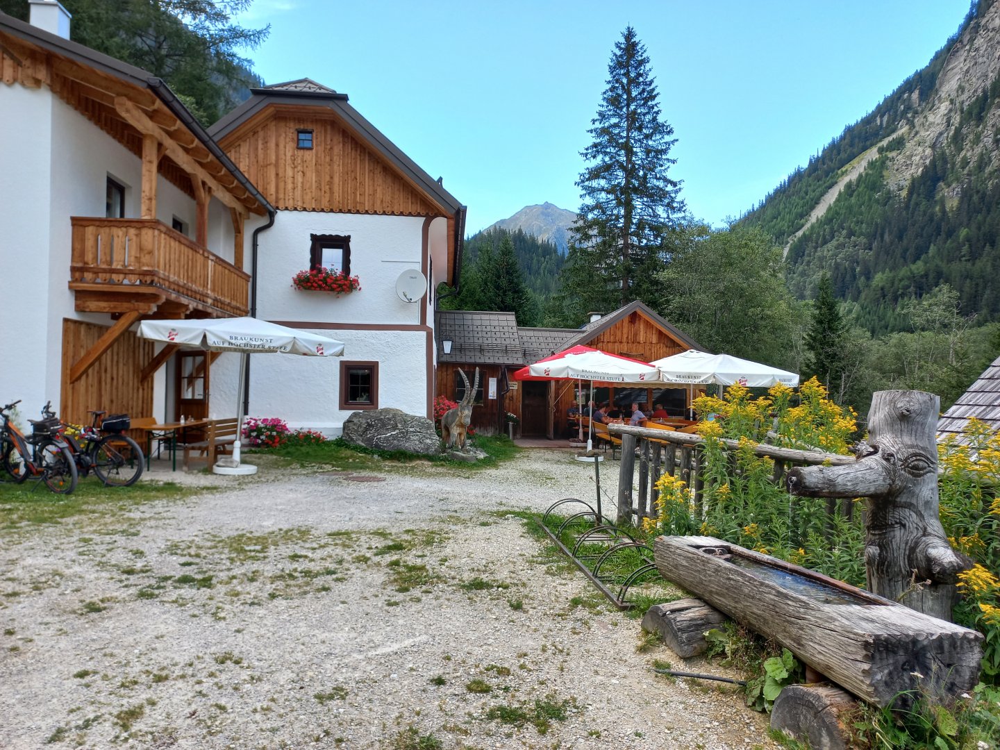
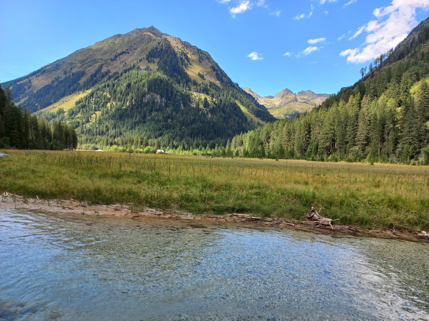
From the B95 between Mauterndorf and Tamsweg I turn onto the Weiβpriach and drive through the long valley of the Lonka river to the toll gate at the Dicktlerhütte restaurant. Parking in front of the gate is free.
Description of the hike
From the B95 between Mauterndorf and Tamsweg, I turn onto the Weiβpriach and drive through the long valley of the Lonka river to the toll gate at the Dicktlerhütte restaurant. Here I leave my car in the free parking lot. After the toll gate, you can drive further by car to the car park at Hinterlahn, or take a bus to the end of the valley to the Ulnhütte hut.
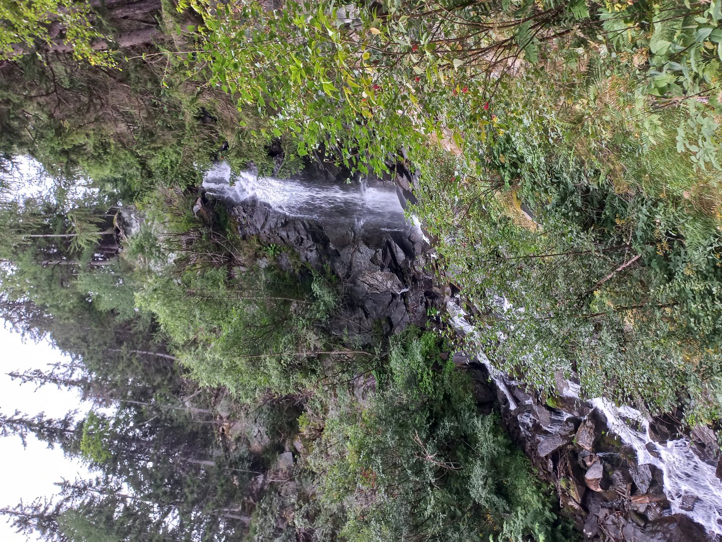
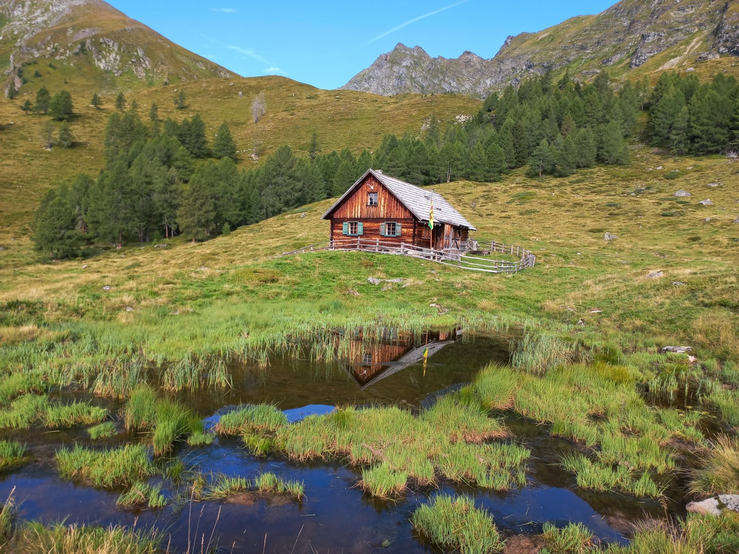
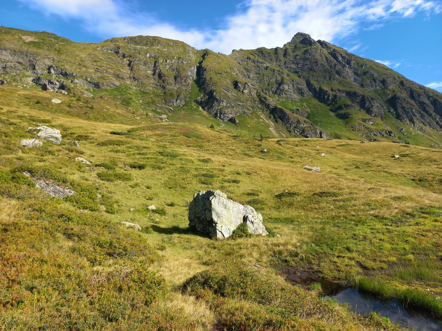
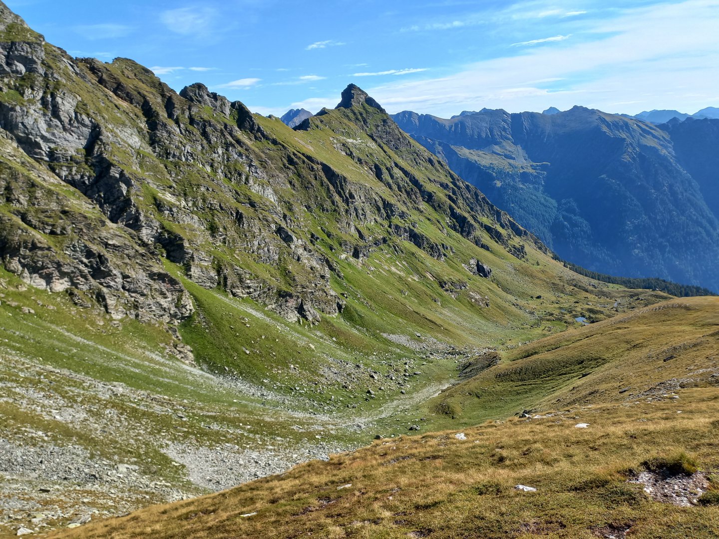
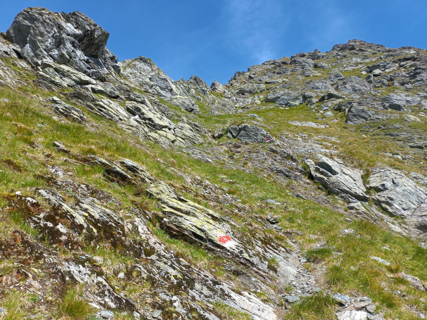
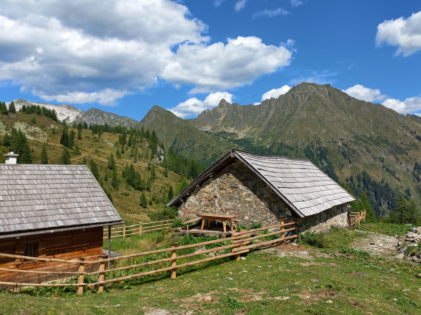
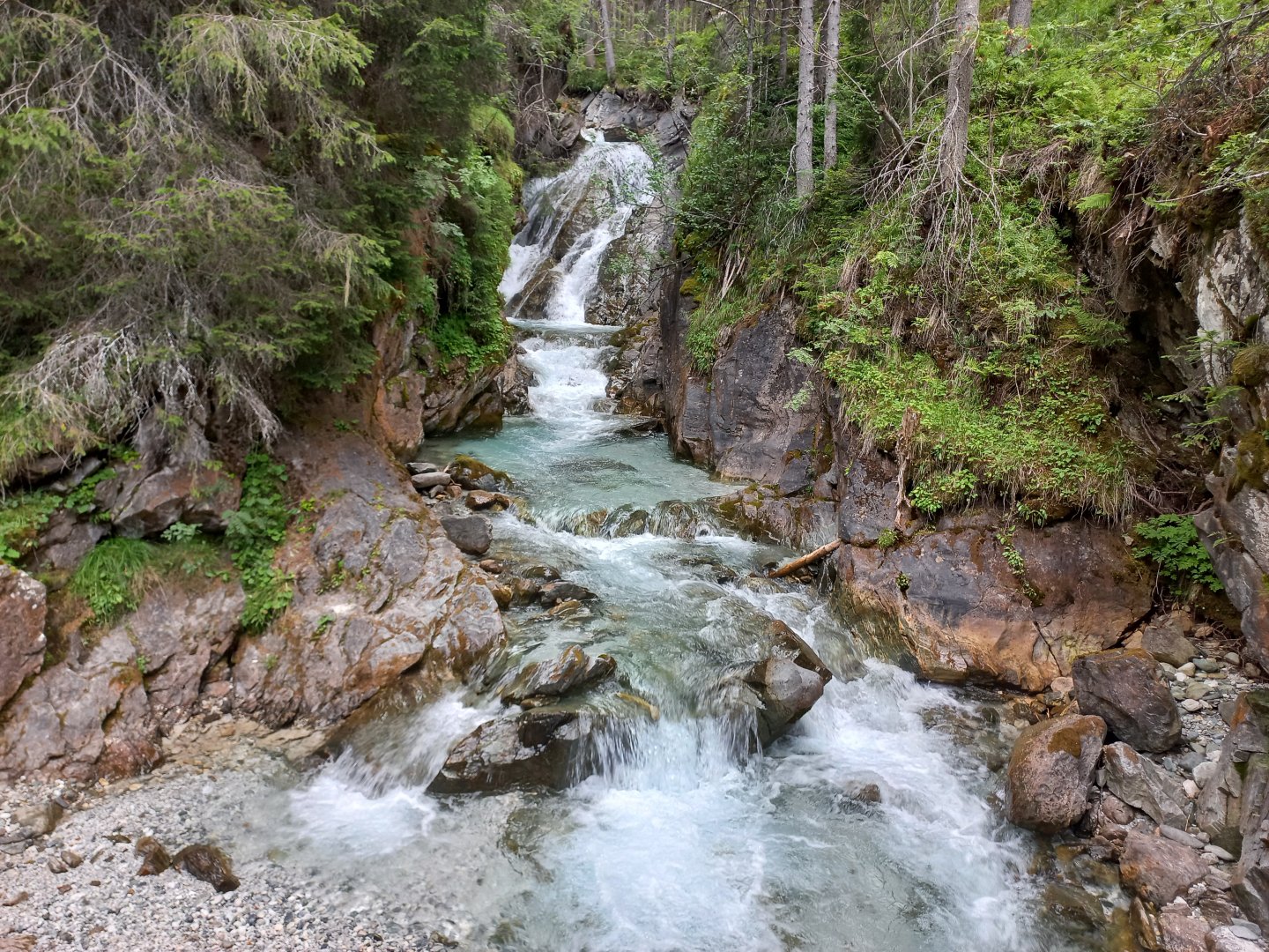
I don't want to go back to the signpost, so I take the path up from the Dicktlerhütte hut, along the Gurpitschbach stream. The path is marked for a while, leads me to a small waterfall and then I continue along the forest paths. It's quite steep at times, but I can see that I'm not the first person to go this way. After half an hour of climbing through the forest I come across a wide forest path and from there it is only a few hundred metres to the marked trail. I keep climbing until the landscape opens up and I'm standing in front of the wooden huts of the almu below Mount Karnereck. There is no-one anywhere, I pass through the alm, cross the Gurpitschbach and head steadily up through the heather to the saddle between Kleines and Grosses Gurpitscheck. The sign is sometimes lost in the undergrowth, but the direction is clear. On the other side of the saddle there is a drop down and a wide view of the opposite ridge Speiereck - Schareck - Weisseneck.
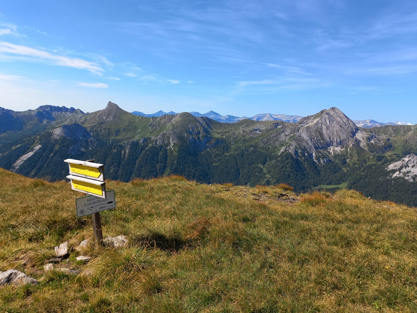
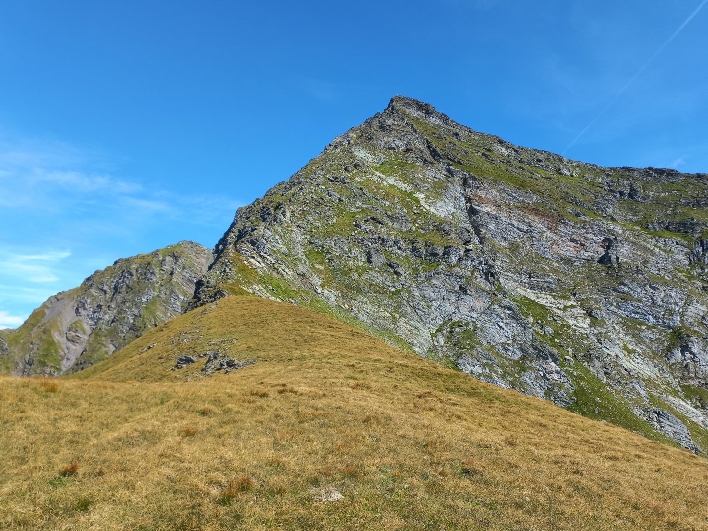
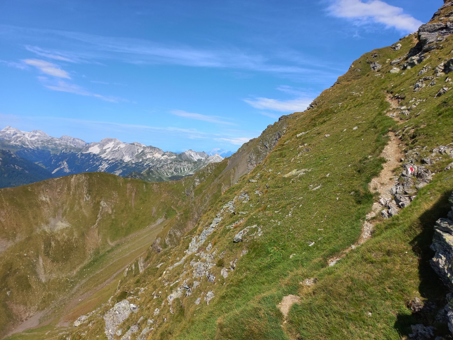
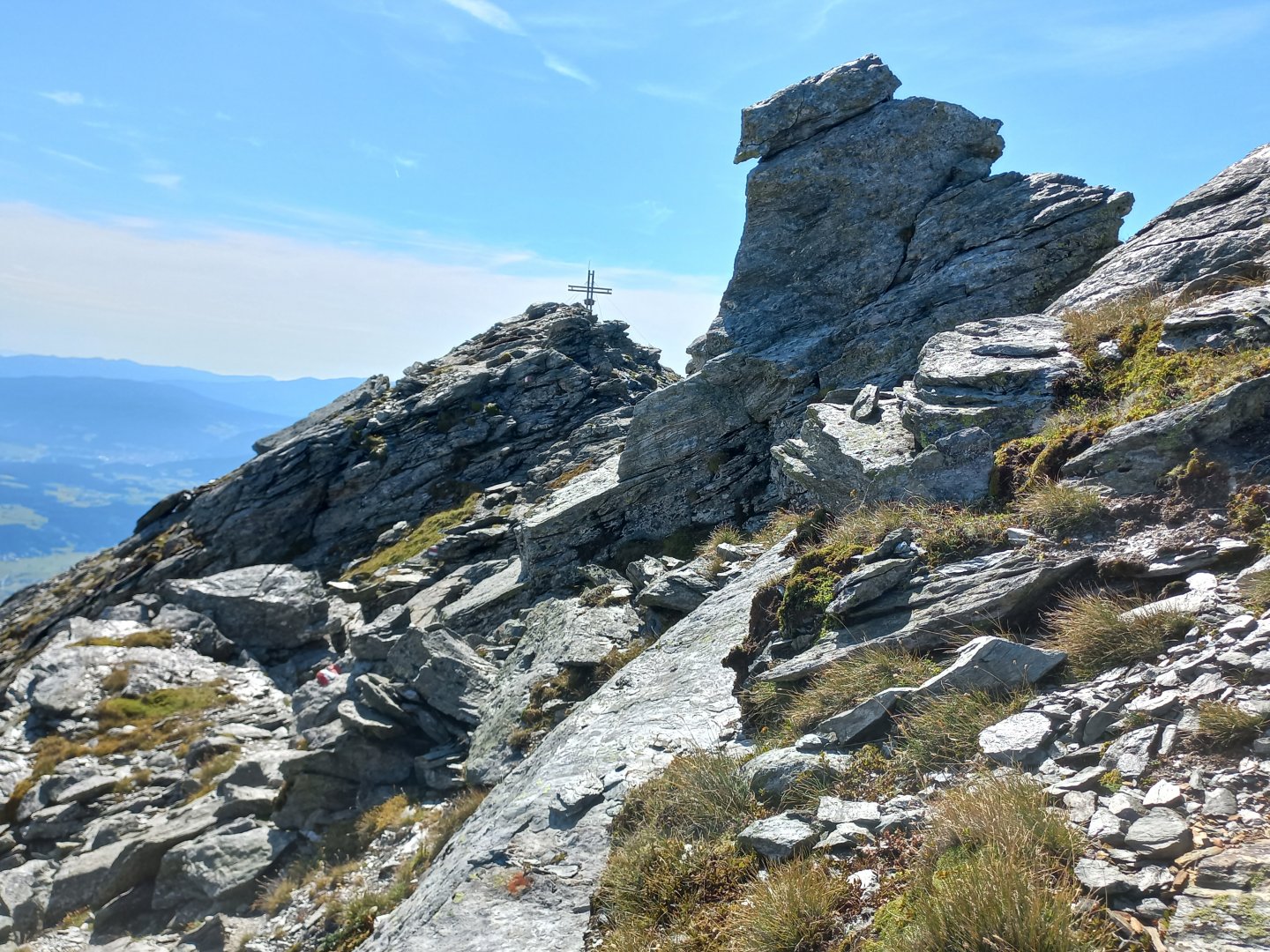
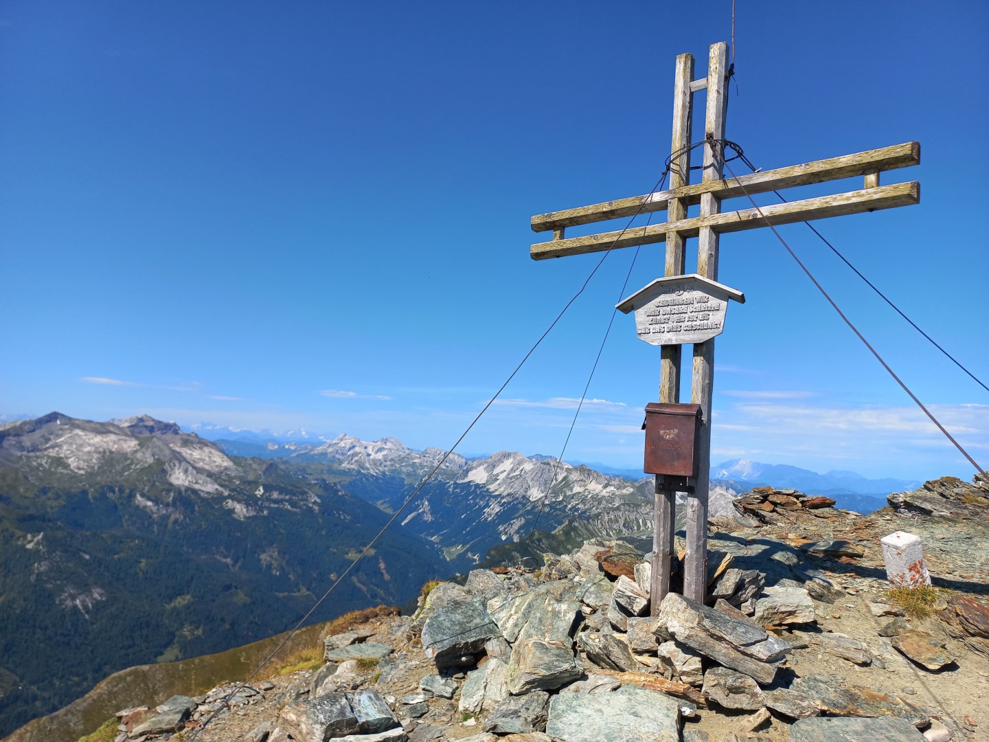
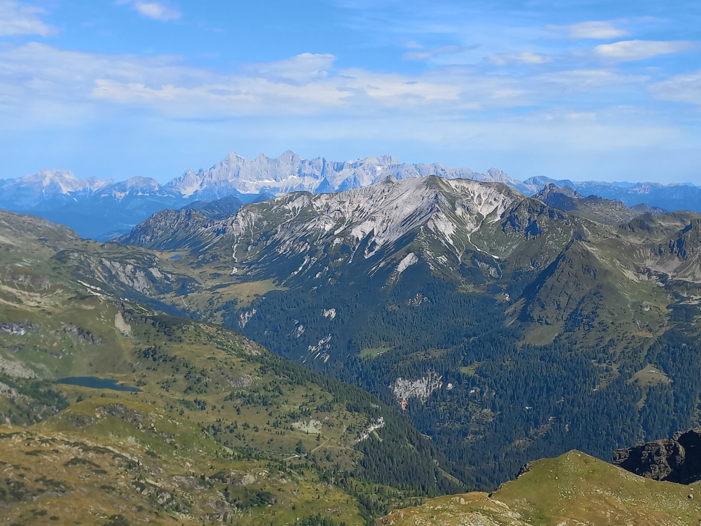
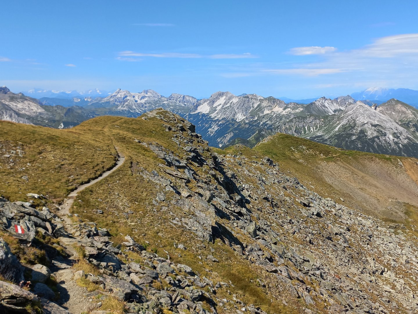
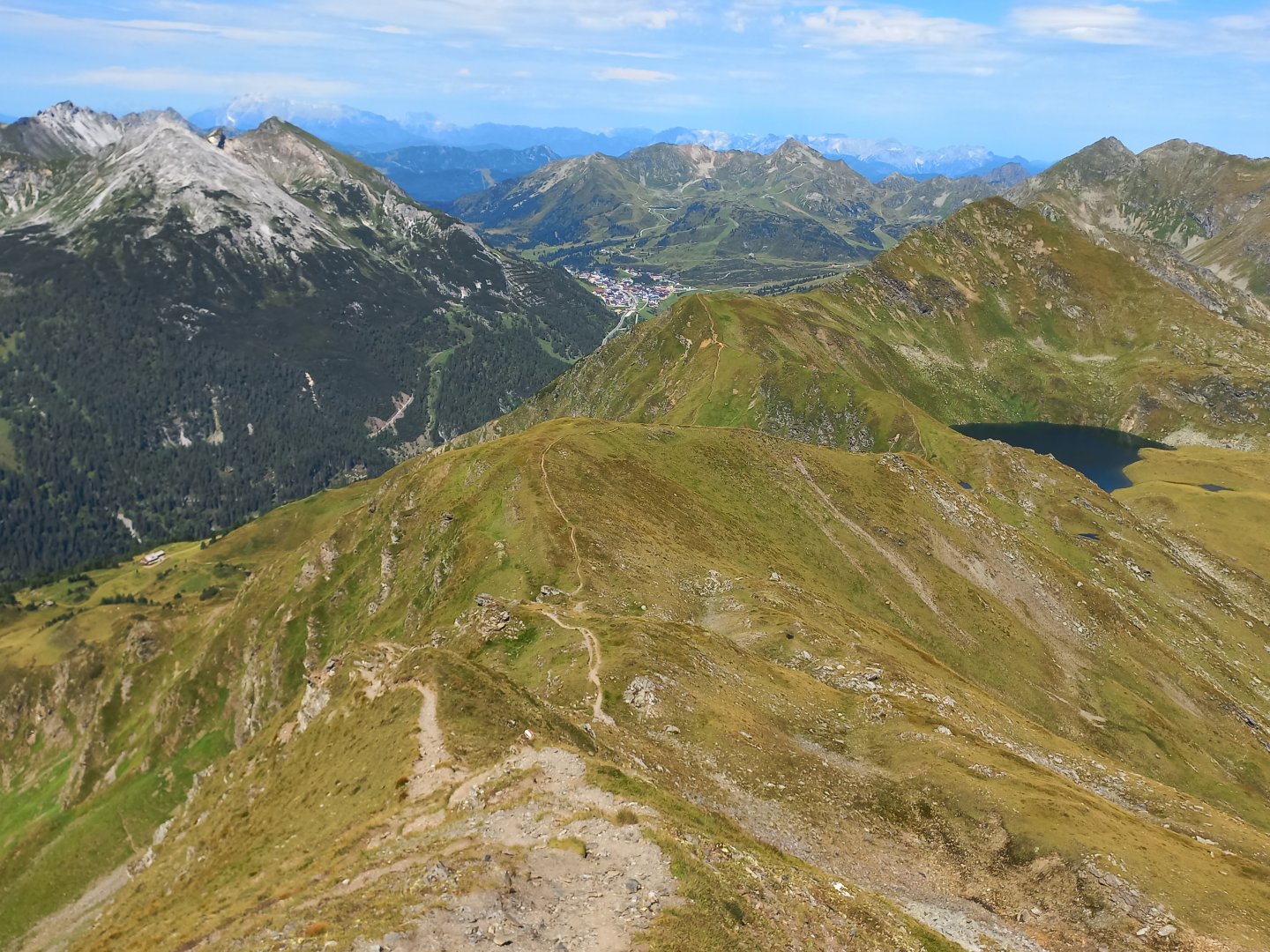
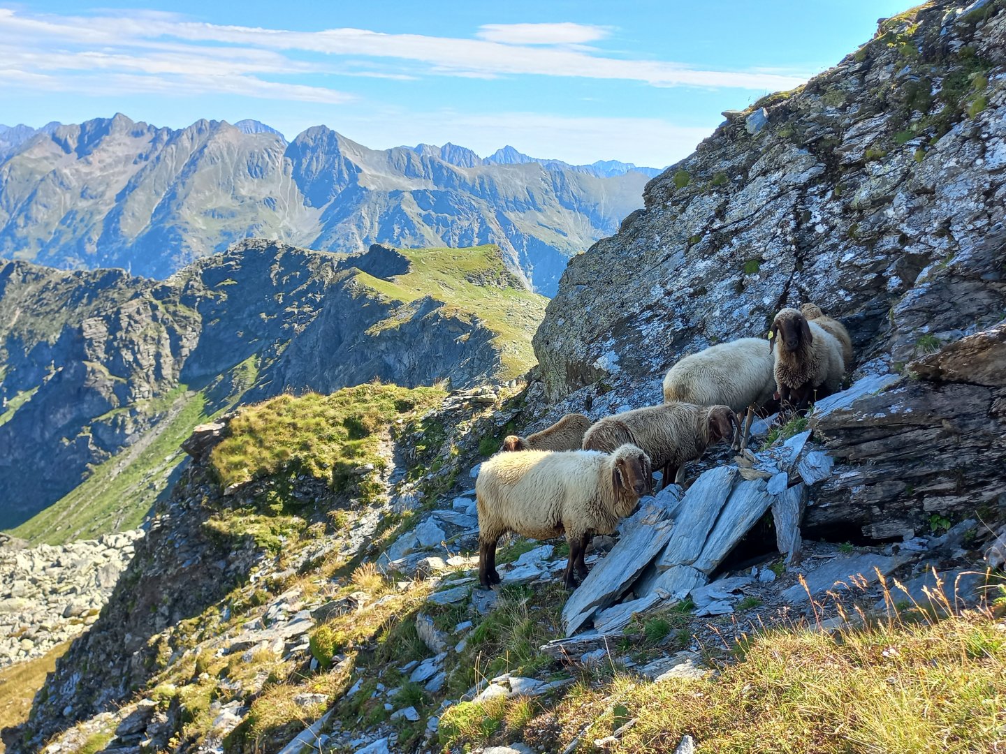
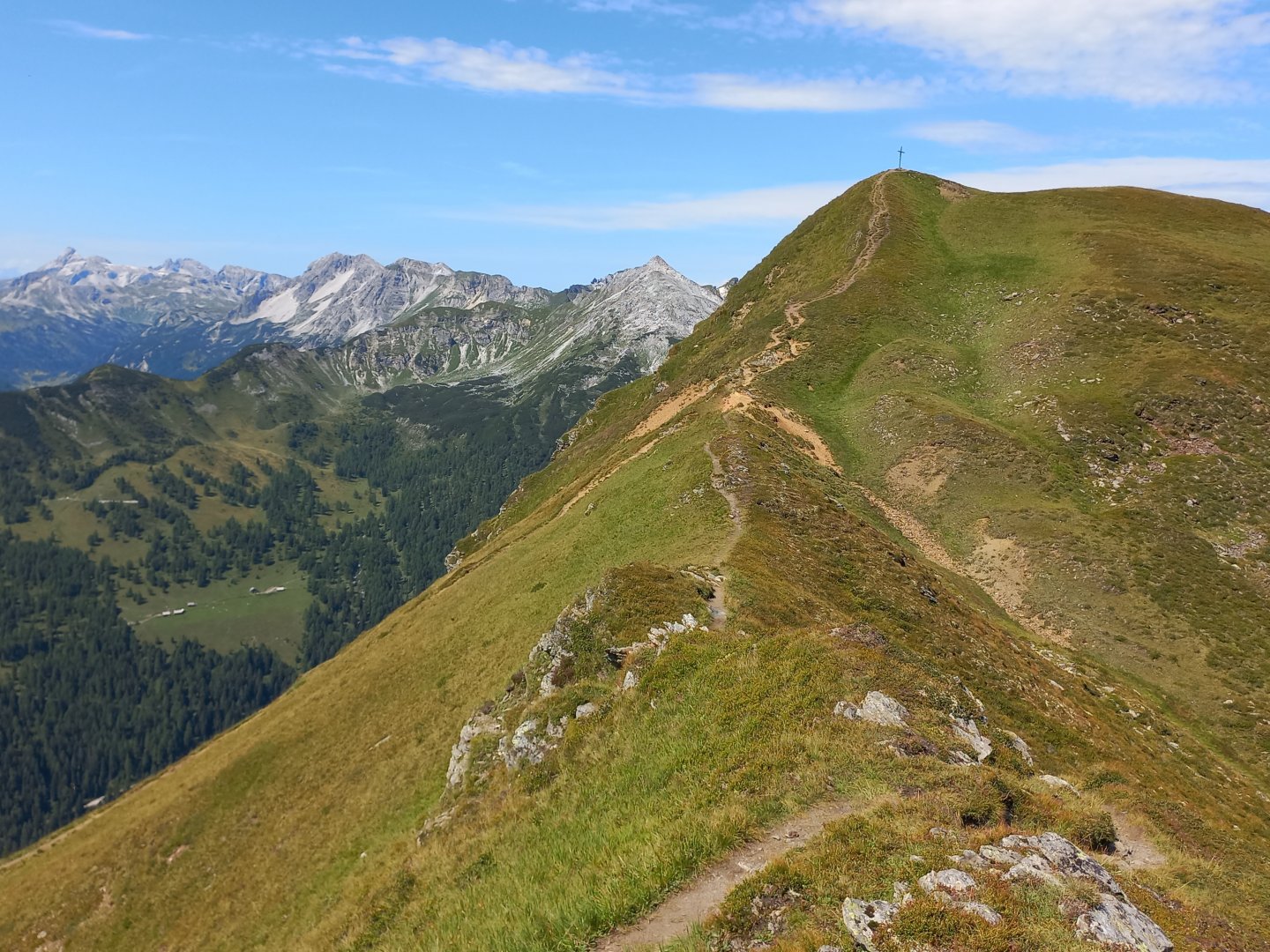
I pause to catch my breath and then turn right to Grosses Gurpitscheck (2525 m). The nature of the route changes here, with over 200 vertical metres to the summit - climbing over rock faces, traversing the west side of Gurpitscheck and a final rocky passage to the cross. The views are fantastic - the Hohe Tauern to the west with its three-thousanders holding snow even in summer, the mountains above the Obertauern ski resort - Mosermandl, Grosser Pleisslingkeil and Zehnerkarspitze - a little closer, the trident Der Dachstein to the north and the Schladming Tauern dominating the east. After resting on the summit of Grosses Gurpitscheck, I gather myself for the descent, the path descends along the ridge towards Obertauern. At the beginning there are still rocky passages, then the path through green grass.
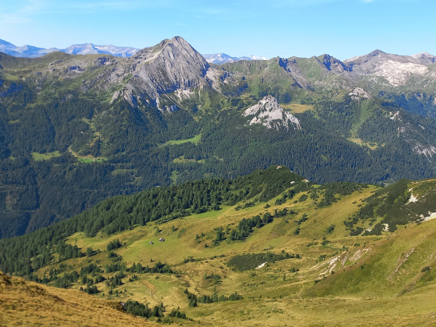
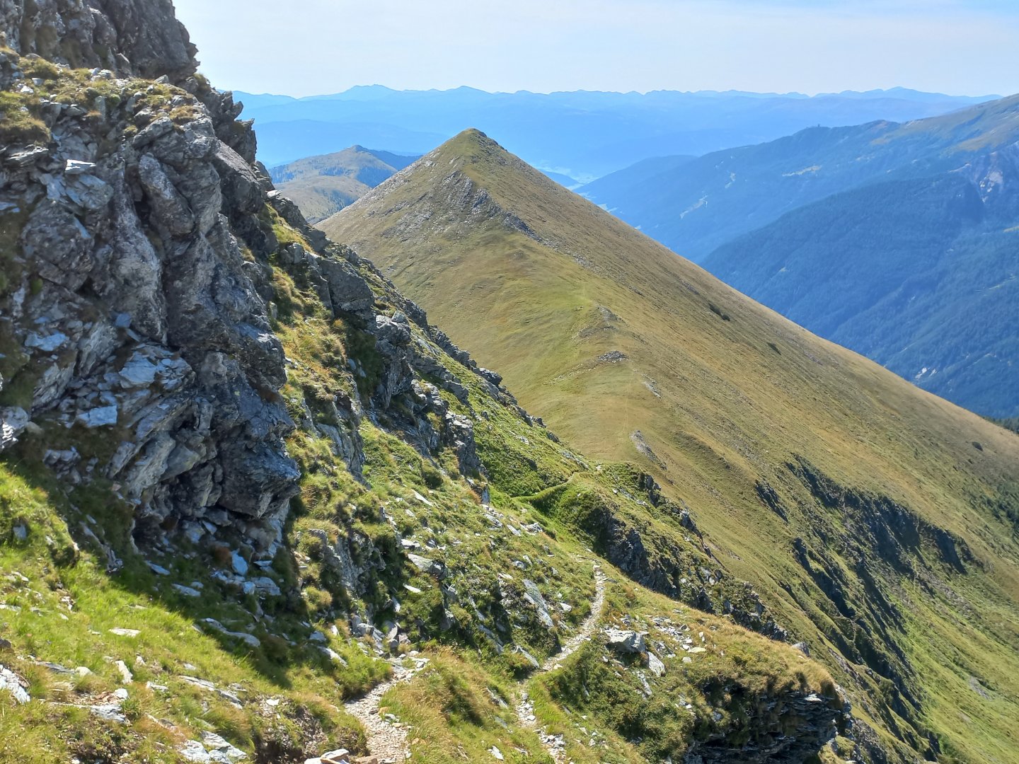
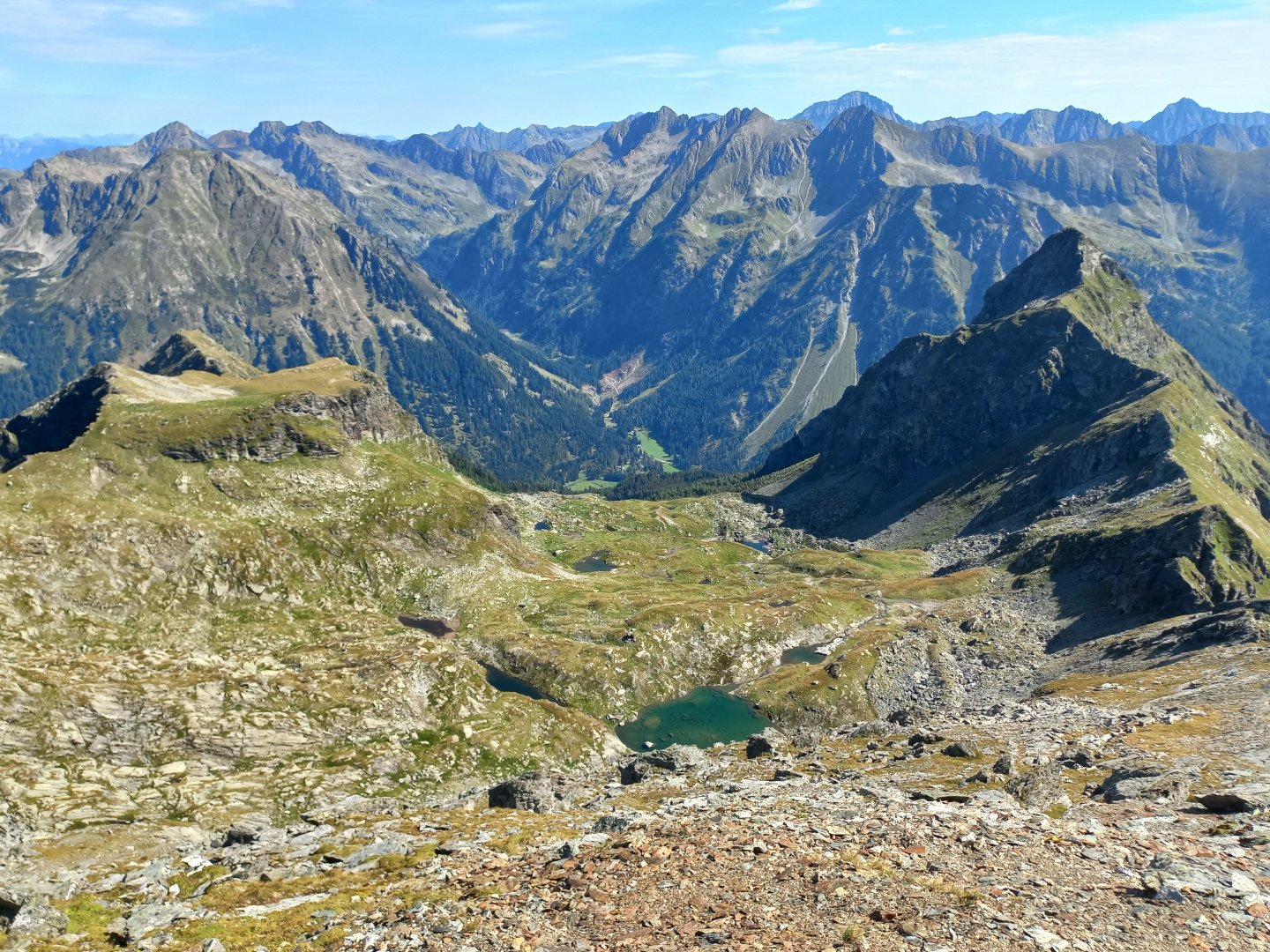
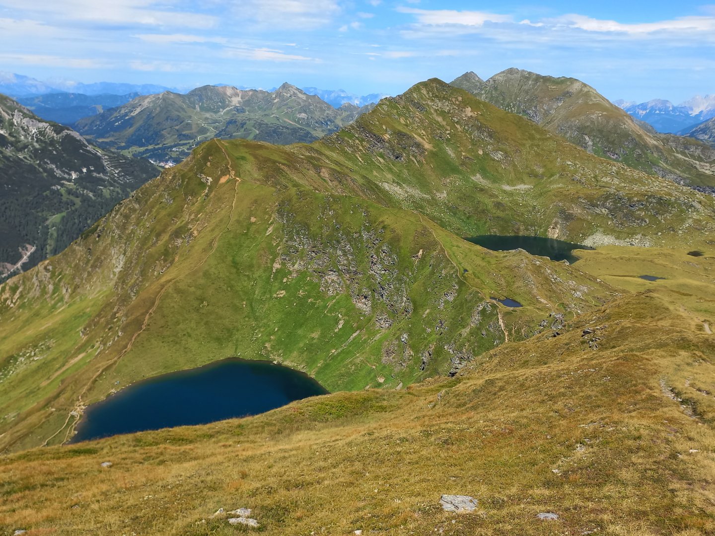
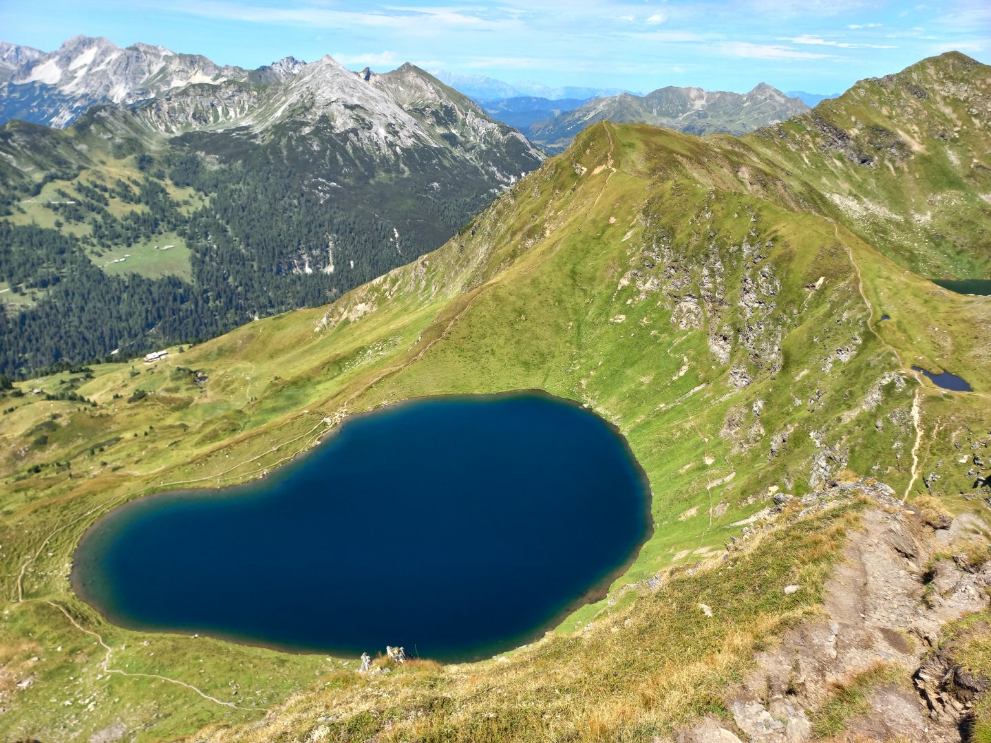
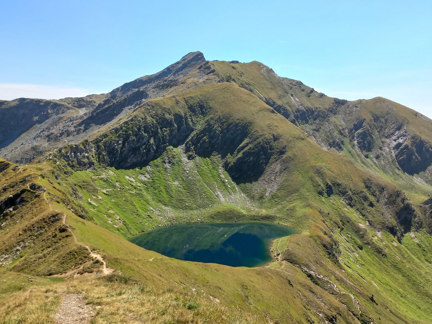
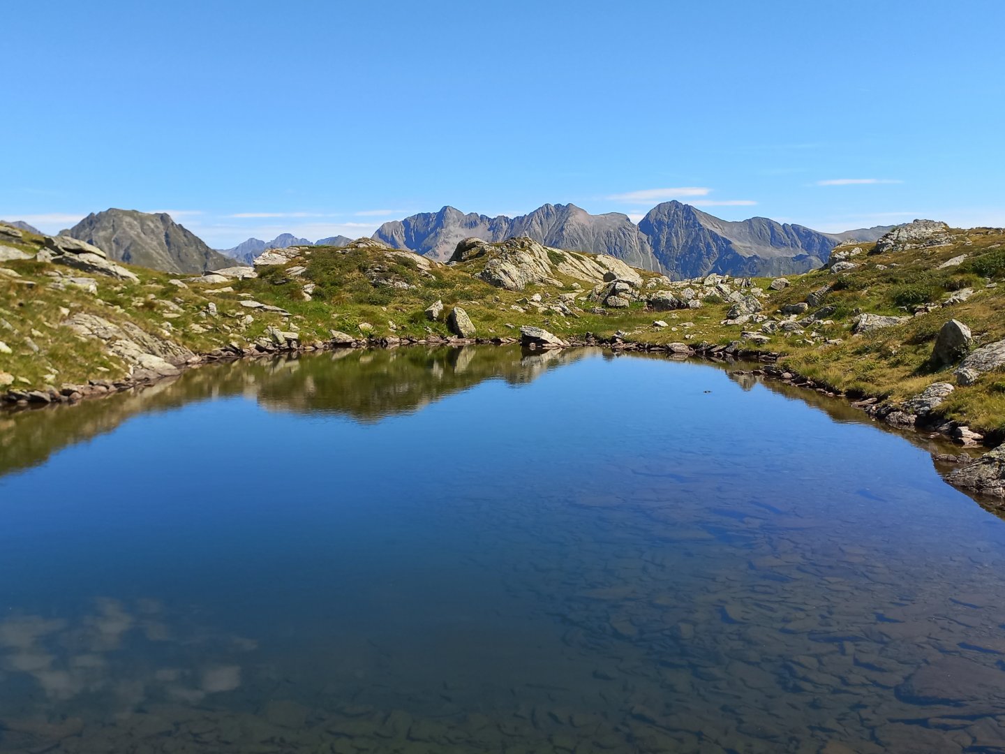
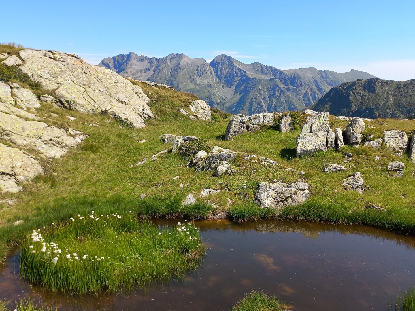
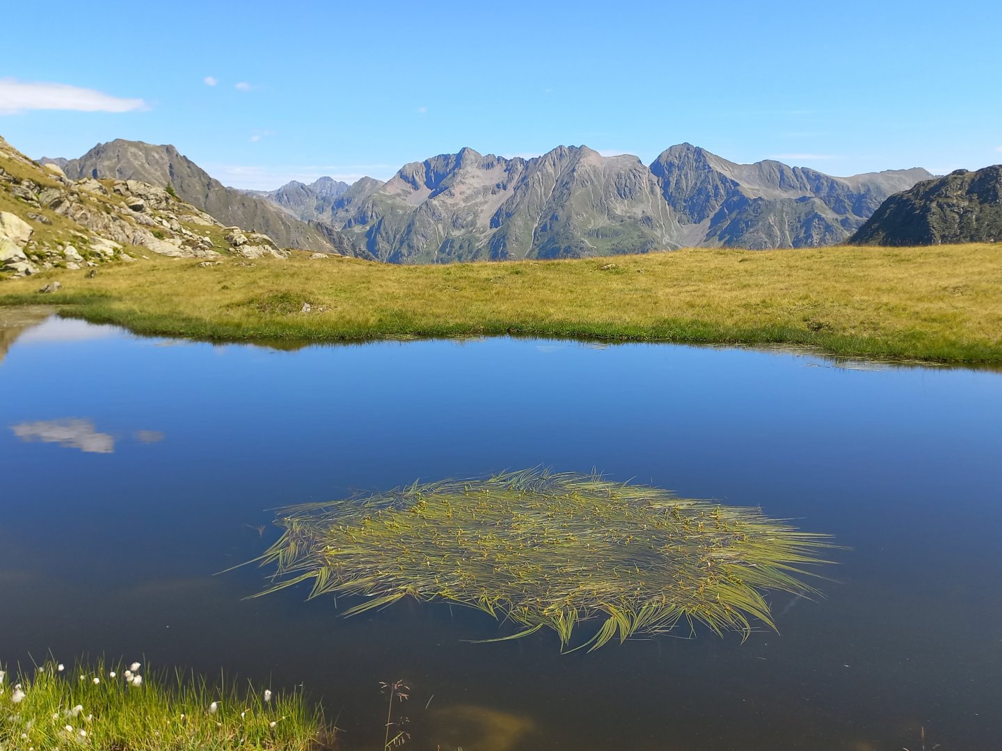
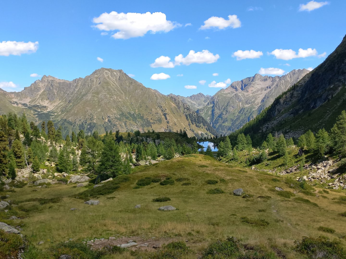
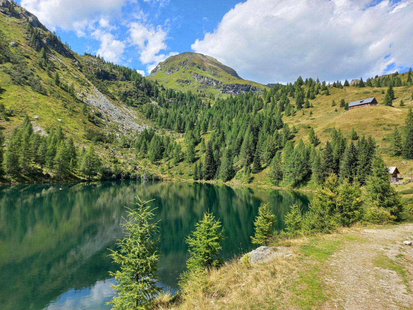
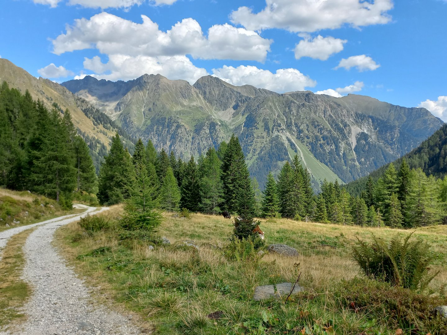
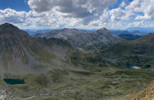
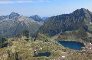
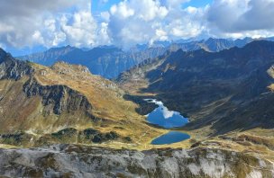
The Schladnming Tauern are green mountains with lots of streams and lakes and I have several of them in sight from the ridge. Directly below me is the huge blue eye of the Twenger Almsee, and a little to the right is the slightly larger Schönalmsee. In between there are more lakes, puddles and little eyes reflecting the sky. The trail passes right above them, and one feels like running, balling up and making a big splash. Above the Twenger Almsee I continue to the nearby Gollitschspitze (2247 m) and then on towards the Tauernhöhe. I traverse below its summit, skirting the Schönalmsee and following the Schönalmbach stream towards the valley. After Lake Lacken, the trail turns left and descends quickly to another almo at Unterer Wirpitschsee and the Tonimörtlhütte hut. From the hut it is then alternately along the forest path and on footpaths back to the valley. In front of Ulnhütte there is a nice waterfall. There is a bus to the hut, the walk back to the Dicktlerhütte takes about an hour. But it's a pleasant walk along the Lonka River and in summer it's possible to take a dip on one of the clear sands.
Difficulty
A beautiful round trek through the green mountains, between the lakes. The trail follows marked routes, only at the beginning of the trek and at the traverse of the Schönalmsee lake you go off the markers. There are a few more challenging places below the Grosses Gurpitscheck, where the ascent and descent are in rocky terrain, but there is no ferrata. The total elevation gain is about 1,500 metres, so good fitness is desirable.
Water availability
Water can be taken from the streams along the way, there are huts in the valley.
Sleeping options
There are no huts on the route, except in the Lonka valley.
Mountain peaks
Ascent to the top of Grosses Gurpitscheck and Gollitschspitze. Views of the High Tatras, the Schladming Tatras and Dachstein.
Danger
The path leads along marked hiking trails (short passages only on unmarked trails). A few more challenging places under Gr. Gurpitscheck, where it ascends and then descends in rocky terrain.
Food
Food to go, refreshments are available at the huts in the valley.